Reflecting on the Stillwater Trail
By Gabrielle Hillyer
Artist Statement
Each photo below highlights the Stillwater River Trail in different seasons. As a resident of Orono, ME for the last 4 years, I have often had the privilege to witness beautiful sunsets, sunrises, stillness, turbulence, and a vast variety of colors that compose the Penobscot River, in this area called the Stillwater River. This river has often acted as a confidant and source of peace, supporting me throughout my anxieties related to graduate school. However, more recently I have done more research into the history of naming, particularly the colonial seizure and reidentification of the Penobscot as the Stillwater. This process of renaming has implications for the Maine-Indian Settlement Act of 1980, which reinforced treaties from the 1700 and 1800s. In these treaties, Penobscot people were “granted” all islands in which the Penobscot River encompassed. By renaming this branch of the Penobscot River the Stillwater, Marsh Island was suddenly opened to settlement, purchase, and eventually the land-grant university known as University of Maine. As we consider conservation, sustainability, and equity, it is important to also consider and reflect on the history of displacement this continued naming practice embodies. The University of Maine is grappling with its colonial presence and history, while supporting projects such as the adding of Penobscot place names to signage, developing a Memorandum of Understanding with the Penobscot Nation, and developing a land acknowledgement. The University of Maine land acknowledgement includes the statement “issues of water and territorial rights, and encroachment upon sacred sites, are ongoing.” One step towards equity, justice, and sustainability for the Penobscot River, and by extension Penobscot people, could include the acknowledgement that the Stillwater River is in fact the Penobscot. I offer these photos and captions as an example of renaming. I encourage those who view these photos to recognize the original caretakers of this space and support them in their efforts to maintain their sovereignty and connection to this place. Additionally, I recommend watching the talk which describes this renaming practice among others, titled “Penobscot Sense of Place” given by James Eric Francis Sr., available on Youtube at: https://www.youtube.com/watch?v=oz13Vj2h6Es.
Photo 1. The Penobscot River in Springtime
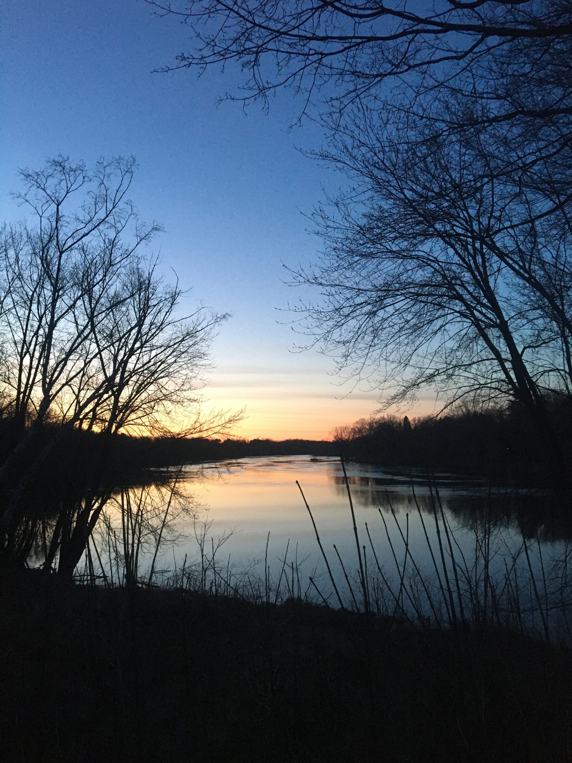
The Penobscot River, photographed near the head of the Stillwater Trail in early sprintime. Buds were just beginning to show on trees after the last snow had melted away.
Photo 2. The Penobscot River in Summertime
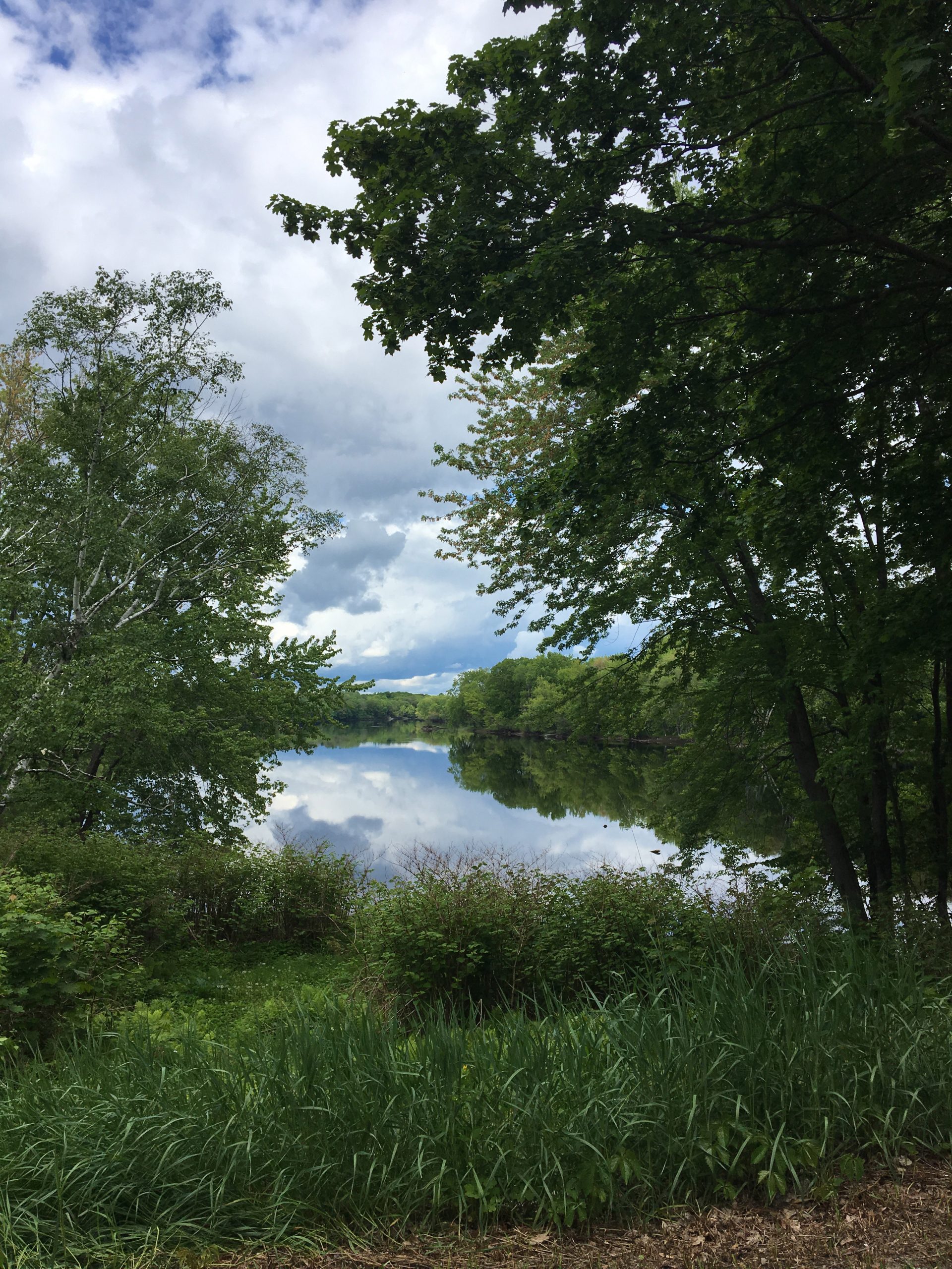
The Penobscot River in summertime, photographed near the head of the Stillwater Trail. Trees had all their leaves, and everything was a vivid green.
Photo 3. The Penobscot River in Fall
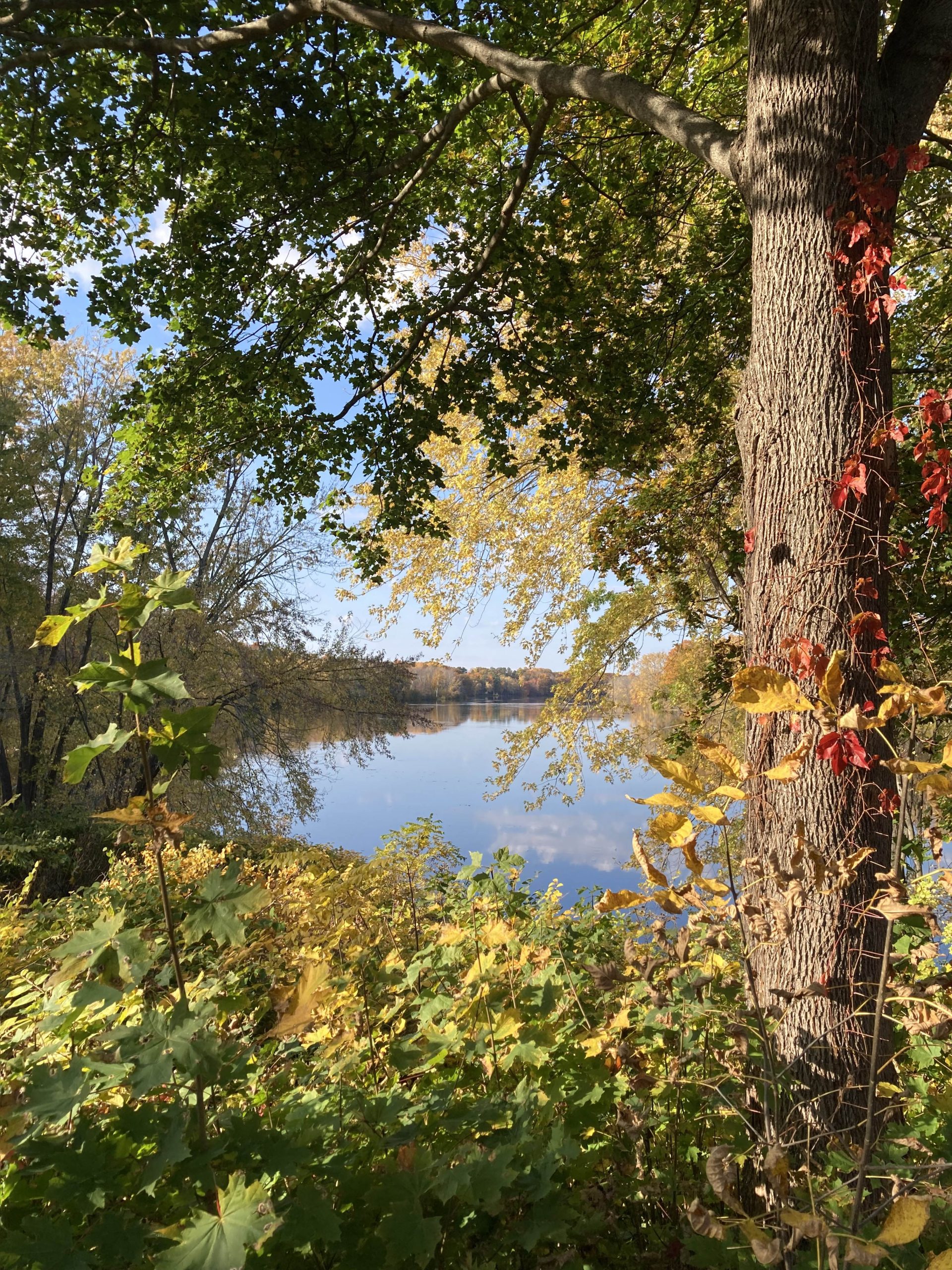
The Penobscot River photographed near the head of the Stillwater Trail. Leaves had just started to turn colors. You can see the trees reflected in the river itself.
Photo 4. The Penobscot River in Wintertime
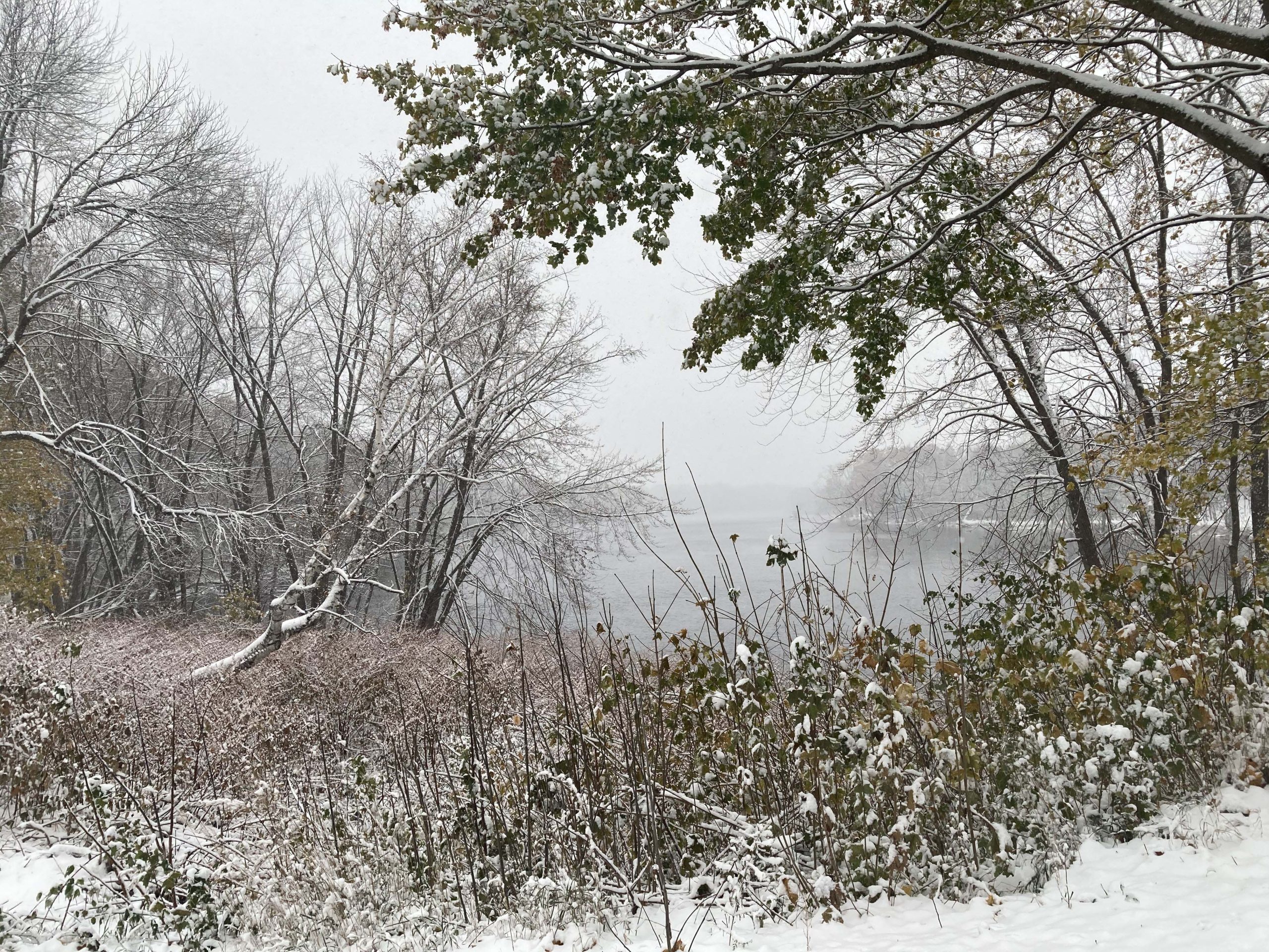
The Penobscot River photographed near the head of the Stillwater Trail. Here, we are in early winter. Ice was just beginning to form in the river, and an early snow had settled nicely on the trees that still had some leaves.