Preserving Maine’s ancient coastal heritage
Maine’s coastline is dotted with more than 2,000 archaeologically documented shell middens and virtually all of them are eroding into the ocean, some quite rapidly, which is putting valuable records of Maine’s cultural and environmental history at risk, says Alice Kelley, a geoarchaeologist at the University of Maine.
It is a trend that is likely to continue — even accelerate — in the face of increased storm intensity and sea-level rise due to global climate change.
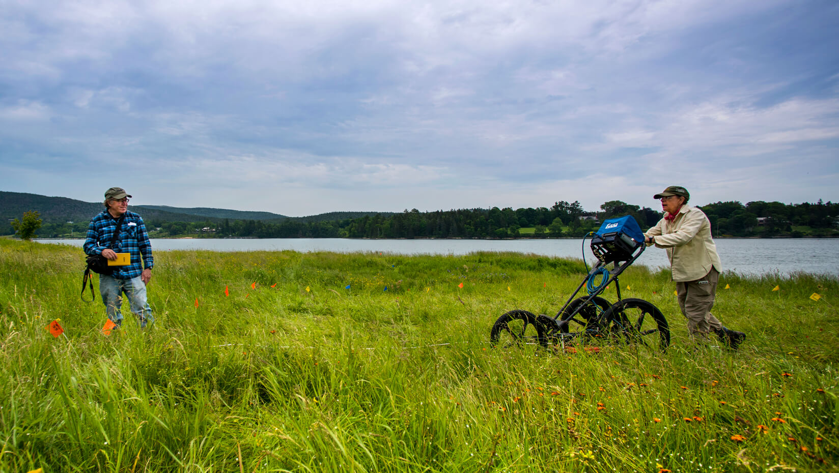
Kelley, an associate research professor in the Climate Change Institute, cooperating professor in the Department of Anthropology and instructor in the School of Earth and Climate Sciences, is working with a team of archaeologists and geologists from UMaine and the Maine Historic Preservation Commission to survey these fragile archaeological sites using ground-penetrating radar (GPR) technology.
The Maine Sea Grant-funded project is the first concerted use of the method to rapidly assess the state’s at-risk shell middens, many of which have not been visited by archaeologists since the 1970s or ’80s.
The goal is to better understand the current state of many of Maine’s shell midden sites — to document what is there and has the potential to be lost, and the rates at which erosion is happening. The information will help land and cultural resource managers triage the most at-risk sites for preservation or conservation, or, at worst, emergency archeological excavation.
Shell middens in Maine are ancient heaps of discarded clam or oyster shells, but they also contain many other cultural artifacts associated with daily life, such as pottery, stone tools and even bones or other organic materials, says Kelley.
“For a long time it was thought that these sites were merely garbage dumps and not worth anything,” Kelley says, “but we’re finding that’s not the case.”
Shell middens offer a snapshot of what life was like along the coast of Maine thousands of years ago. While the sites are often rife with cultural objects that paint a picture of the lifeways of coastal residents in the landscape that became Maine, they are unique in their abundance of environmental and ecological information.
“The faunal remains; the fish bones, the bird bones, the mammal bones, the fish ear bones, all of those sorts of things tell us what was in the Gulf of Maine at that time,” says Kelley, particularly during a time long before the pressures of industrialized fishing.
The calcium carbonate from the layers of densely packed shells effectively buffers against Maine’s acidic soil and creates ideal conditions for organic preservation. As a result, the bones of animals can be found, whereas at other sites they are quickly lost to decay.
The team members are using GPR to survey each of the sites they visit. The technology allows the researchers to identify underground features without having to dig them up.
Traditional archeological excavation is expensive in cost, time and labor. As a result, very few shell midden sites are excavated each year — and often times, only a few square meters of each site can be investigated. With GPR, hundreds of square meters can be surveyed by the team in as little as a day.
GPR uses short electromagnetic pulses transmitted from a radio-frequency antenna into the ground. The signals are reflected by different types of soil, rocks and other materials to a receiver that records the signal. Changes in the underground layers result in different electrical properties of the returned signal and the time it takes for the signal to return is used to determine a feature’s depth. As the antenna and receiver trace along the surface, a profile of the underlying stratigraphy is generated.
To date, the team has used GPR to survey more than five sites along Maine’s coast — from the southern reaches to far Down East.
“We can use the GPR to essentially survey what we think is the entire site,” says Jacque Miller, a graduate research assistant in the UMaine School of Earth and Climate Sciences, noting that some of the sites they have surveyed have been much more expansive than previously thought.
However, some of the sites have already been lost to the sea.
“Some (sites) are lost. We’ve gone back to them and they’re simply not there,” says Joseph Kelley, professor of marine geology and co-investigator on the project. “In 20 years, they’ve disappeared.”
Joseph Kelley is a marine geologist and a specialist in coastal erosion remote sensing technology. He has collaborated with Alice Kelley on similar interdisciplinary research worldwide, including in northern Peru and the Shetland Islands.
However, it’s not just the rising tide that endangers these unique sites. Historically, Maine’s ancient shell deposits have been mined for fertilizer and chicken feed, used for local road fill or bulldozed for coastal development.
They are also a common target for possibly well-intentioned, but highly destructive, artifact collectors.
“These sites are disappearing and I have a sense that, if we can get this message out, if we can get people interested, it could really make a difference in how we look at cultural resources,” says Alice Kelley.
“Not just as something that you’d look at and walk by, but that there is something really important here. To have people appreciate what they are and perhaps take some interest in monitoring or preserving them.”
The researchers hope to build a network of citizen scientists who understand the importance of the sites and the ethics involved with protecting them — a group that could monitor the sites and report increased erosion or disturbances.
“When people become involved with things they tend to protect them, and that would be a great outcome,” says Alice Kelley.
Contact: Walter Beckwith, 207.581.3729
