
Buoy Monitoring Program and Transect Sampling
Project Description
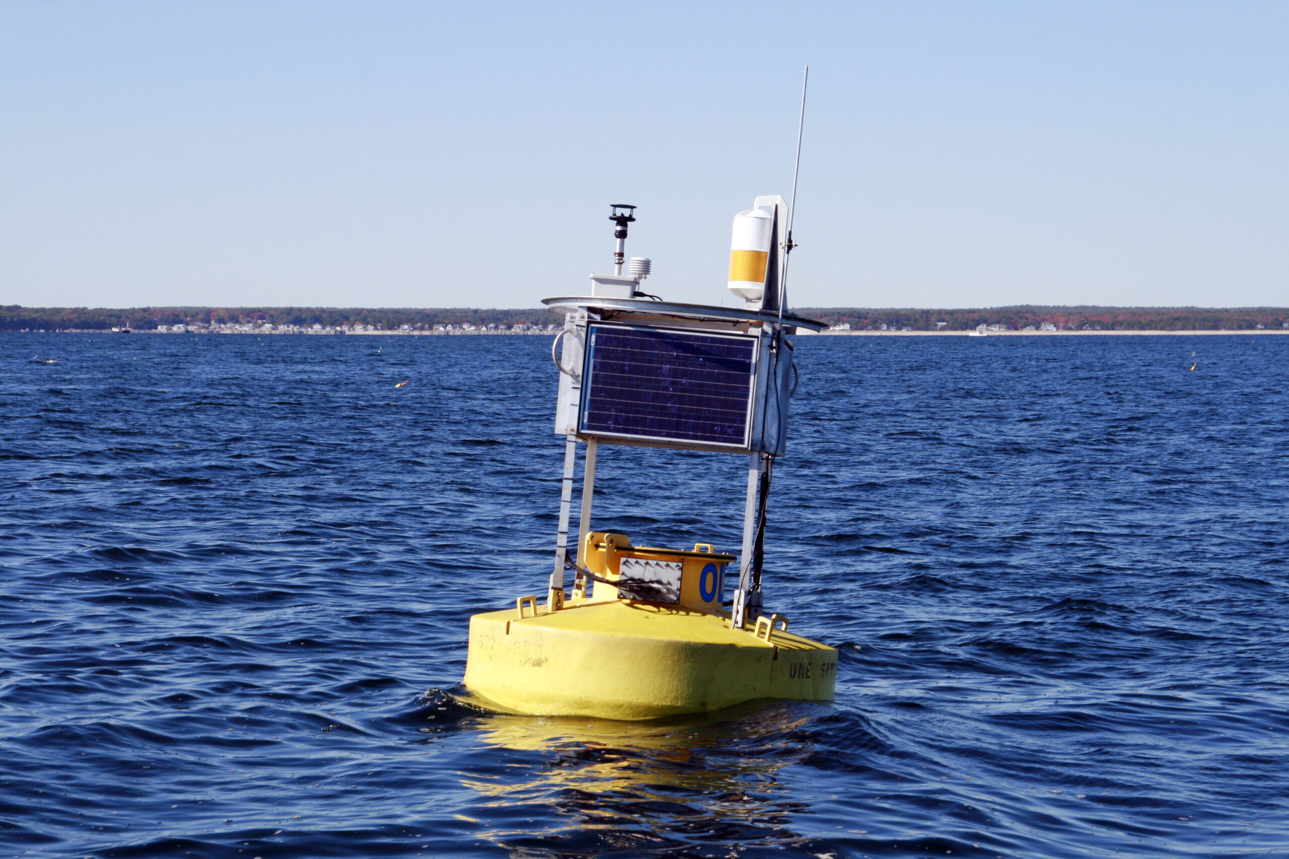
The buoy network consists of four Land/Ocean Biogeochemical Observatories (LOBO), two Gulf of Maine Observing buoys, and a suite of small sensors, which are deployed in two to three estuaries per year. Each network is deployed for a year to collect environmental data during the full course of a bivalve growing season. The buoys are moved annually. At the end of four years, they will have collected data in six target estuaries and three distinct bioregions along the coast of Maine.
Each network is equipped with an array of sensors that enable researchers to monitor and model physical and biogeochemical properties of these systems, including estimates of aquaculture carrying capacity. Physical oceanography at the mouth of each system is monitored by Gulf of Maine Observing Buoys.
To complement this continuous monitoring, seston and zooplankton sampling occurs along transects adjacent to the buoy network on a biweekly basis. These samples are used to ground-truth the buoy data and define food quality and availability for bivalve aquaculture. In estuaries where oysters can be deployed in conjunction with the LOBO’s, project personnel measure growth rates and relate those growth rates to environmental conditions.
Results and Accomplishments
Buoy deployment/maintenance and sampling transects were successfully completed for the Casco Bay (New Meadows) and Penobscot Bay (Bagaduce River estuary) in 2017. Additionally, stakeholder outreach, site selection, and deployment for the Machias estuary and Cobscook Bay observing program are also complete as of April 2018. The preliminary results of the deployment, attendant sampling, and experiments highlighted the importance of changes in the Gulf of Maine on nearshore aquaculture sites. For example, river plume water from the adjacent large river system affects transport and production in the New Meadows ecosystem. That is, the Gulf of Maine transports upstream, large river, system water into other estuaries in the Gulf of Maine and may strongly influence the aquaculture production potential in those systems.
Concomitant deployment of oysters and the buoy system are allowing new predictive models of oyster growth rate. Estimates to predict oyster growth compared well to other measured environmental variables. Results indicate that oysters in the Damariscotta Estuary, for example, may be protein limited by labile protein (EHAA). Oysters absorb all available sestonic Enzyme Hydrolyzable Amino Acid (EHAA). Some protein is detrital; detrital protein consumption by oysters is inferred. Additionally, the presence of ciliates (mixotrophic plankton) also predict oyster growth and compared well to other measured environmental variables. This may be due to a supply of trace nutrients, or an auto-correlation with other unidentified factors that support both ciliate and oyster productivity.
The buoy program, coupled to a fine scale characterization of plankton, is revealing insights as to why some sites (e.g., Damariscotta River estuary) are leading the expansion of this industry. The program is also providing significant cyberinfrastructure for the aquaculture research industry by making all data available, often in near real-time.
Summary of Data Being Collected
| Data | Type | Quantity | Location |
| Buoy Observations at 2m, 5m, 10m, 15m, and 25m: temp, salinity. Current velocity (all depth), chlorophyll-a (5m only) | Field | 15 minutes | Saco and Casco Bays, Damariscotta River, Bagaduce River, Cobscook Bay, Machias Bay |
| LOBO buoy water quality (Transmission, PAR, nitrate, CDOM, salinity, chlorophyll-a, temp, pH, DO, turbidity) and physical oceanography (current speed and direction) | Surface water (~1m) | Hourly samples | Saco and Casco Bays, Damariscotta River, Bagaduce River, Cobscook Bay, Machias Bay |
| Grab samples: Secchi disk, conductivity, temp, depth, turbidity, chlorophyll-a, inorganic nutrients, DON, stable isotopes for C and N, PIM, POM, POC, zooplankton, primary production (pb max), flow cytometry (phytoplankton cell abundance), FlowCam (biovolumes/carbon by species phytodetritus), total alkalinity | Surface water (~1m) | Biweekly | Five locations in the Saco and Casco Bays, Damariscotta River, Bagaduce River, Cobscook Bay, Machias Bay |
| Oyster Growth | Shell length / total wet weight | Biweekly | Under LOBO buoys in Damariscotta River |
| Temperature and Salinity Loggers | Surface water (~1m) | Hourly | Coast wide on aquaculture leases |