Headwater Processes and Practices
All rivers and streams start somewhere, and that somewhere is the headwaters. Near the outer fringes of watersheds, tiny tributary brooks and creeks arise from seeps and swamps, and channel heads form on hillslopes where concentrated precipitation runoff is able to begin eroding the soil. Where these important transitions occur depends on a number of factors, including local topography, soils, land use, groundwater, and precipitation regime, and their distribution affects the transport of water, sediment, nutrients, and pollution from the landscape into river systems.
Upland Microtopography
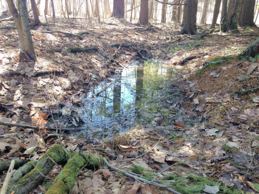
Anyone who has stepped into the Maine woods is familiar with the ubiquitous patchwork of pit and mound features, primarily from tree throw. PhD student, Bea Van Dam, has completed analyses of the dimensions and hydrologic role of the surface depressions with attention towards how watershed settings and upland land uses affect surface water storage. Click here to learn more!
Stream Dynamics in the Headwaters of Deglaciated Landscapes
Headwater Stream Diagnostics
Northern Maine Stream Corridors
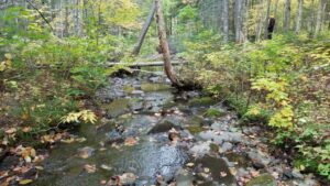 Click photo to learn about undergraduate researchers performing fluvial geomorphological surveys in Maine woodlands during summer 2022.
Sustainability of Maine’s woodland areas that provide economic benefits and ecosystem services to residents and visitors involves consideration of watershed hydrologic processes and dynamics in headwater stream systems. WPES researchers are working on development of diagnostic tools to assess headwater stream systems relative to watershed disturbances and climate changes in the region.