Upland Microtopography
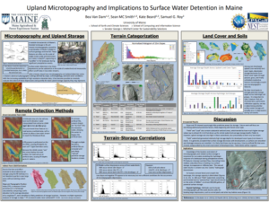 A notable characteristic of Maine’s heavily forested, post-glacial landscape is the ubiquitous patchwork of paired pit and mound features, often on the scale of single meters wide and decimeters to (rarely) a meter in-depth and generally caused by factors related to tree fall and underlying surficial geology. These and other small-scale topographic variations in the landscape – referred to as microtopography – play an important hydrologic role, intercepting surface overland flow during precipitation events and storing it as “puddles” or routing it to the shallow subsurface. School of Earth and Climate Sciences Ph.D. student Bea Van Dam and her advisor Sean Smith have investigated the use of remotely-sensed high-resolution elevation data from LiDAR (Light Detection And Ranging), which is increasingly available across coastal and interior Maine, to detect and quantify spatial patterns of microtopography across different settings and land uses.
The poster to the right summarizes this work that was presented at the 2018 Fall Meeting of the American Geophysical Union (AGU).
Results from the research have been published in the journal, Earth Surface Processes and Landforms: & (2024) Remote detection of upland surface water storage capacity in deglaciated terrain. Earth Surface Processes and Landforms, 49(1), 497–508. Available from: https://doi.org/10.1002/esp.5708