School of Earth and Climate Sciences awarded $1.5 million from DOD to improve snowpack predictions
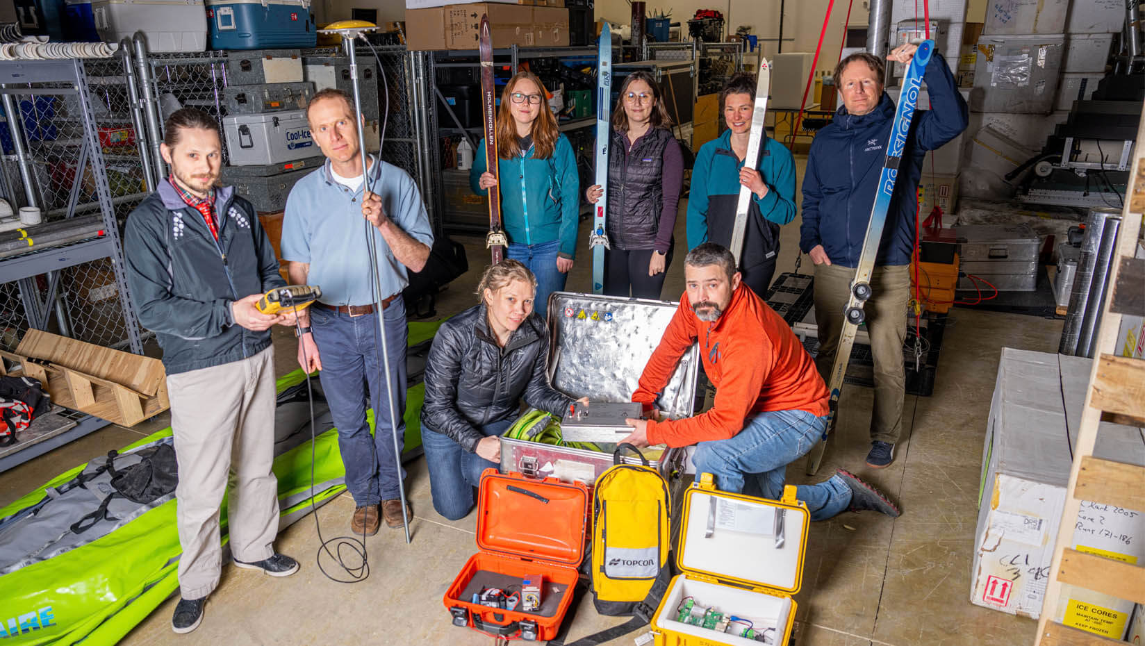
The Department of Defense (DOD) has awarded $1,504,063 to a University of Maine project quantifying snowpack properties in the Arctic led by School of Earth and Climate Sciences faculty members Chris Gerbi and Seth Campbell, who also is affiliated with the Climate Change Institute.
Characterizing and predicting the characteristics of snow-covered regions is a critical gap in the U.S. Army’s readiness to respond to sub-Arctic and Arctic threats, which become increasingly relevant in light of aggressive posturing from other northern latitude countries.
Beyond the Army, quantifying the differences in water content of snow aides in predictions that support water resource management decisions from streamflow to drinking water. This research will utilize observations at sites on the scale of centimeters to hundreds of meters as the basis for training instrumentation for remote sensing and prediction over watersheds and larger regions. The spatial and temporal variability of snow properties makes predictions across landscapes particularly challenging. However, given that around one third of the Earth’s land surface receives some amount of annual snowfall, having the ability to improve predictions of snow water content in different terrain will have widespread impact.

“Our national security needs include knowledge of the physical characteristics of the surfaces on which the military may be operating, as well as where conflict may arise due to natural hazards such as flooding or drought,” Gerbi says. “This project gives the military tools to improve their preparation for deployments.”
The team’s research will couple multiple remote and ground-based geophysical methods — including different kinds of radar, interferometry and LiDAR — to characterize the snowpack at two contrasting study sites in Southeast Alaska and Maine. These geophysical datasets provide ground truth for the development of computational approaches to measure snowpack properties.
The two study areas were chosen because of the differences in their typical snowpacks. Southeast Alaska receives between 6 and 12 meters of temperate snowfall annually, providing a long accumulation and melt season. In contrast, Maine’s annual snowfall only reaches up to 2.7 meters. The contrast of snowfall amounts, terrain and vegetation cover between Alaska and Maine provide an opportunity to quantify the mechanisms that drive snowpack evolution. Both locations can be unpredictable and variable in their snowpack behavior, too, which make them excellent candidates for testing a new and improved algorithm.
“Despite their geographic separation, Maine and Alaska experience many of the same environmental challenges, so it is a natural fit to link the two field sites for this project,” Gerbi says.
This project is a collaboration between the University of Maine, University of Alaska Southeast, University of Alaska Fairbanks, and the Foundation for Glacier and Environmental Research. Over 36 months, the team of a dozen researchers will use data collected from these two regions to develop an algorithm for predicting temperate snowpack properties and meltwater patterns from meteorological or remotely sensed data.
The award started June 21, 2022, and field research will begin this winter.
Story written by Sam Schipani.
Contact: Marcus Wolf, 207.581.3721; marcus.wolf@maine.edu