Historical Atlas of Maine receives AAG Globe Award
Editor’s note: Story updated Feb. 25.
The Historical Atlas of Maine has received the 2016 American Association of Geographers Globe Book Award for Public Understanding of Geography.
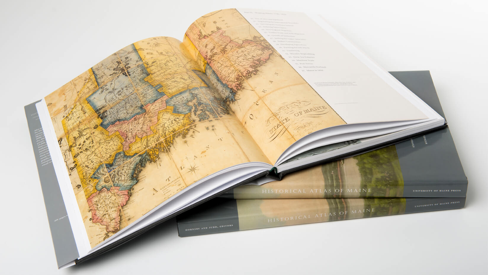
The atlas, the result of a 15-year scholarly project led by University of Maine researchers, offers a new geographical and historical interpretation of Maine, from the end of the last ice age to the year 2000. The volume was published by University of Maine Press, a division of UMaine’s Raymond H. Fogler Library.
The folio-size Historical Atlas of Maine is edited by UMaine historian Richard Judd and UMaine geographer Stephen Hornsby, with cartography by Michael Hermann. It tells the principal stories of the many people who have lived in Maine over the past 13,000 years — the history of Native peoples, European exploration and settlement, the American Revolution, Maine statehood, agricultural and industrial development, and the rise of tourism and environmental awareness.
The Globe Book Award is an annual prize for a book that “conveys most powerfully the nature and importance of geography to the non-academic world,” according to the website of the American Association of Geographers, the largest professional organization of geographers in the world. Past recipients include Atlas of Cities by Paul Knox, published by Princeton University Press, and Why Walls Won’t Work: Repairing the U.S.-Mexico Divide, by Michael Dear, published by Oxford University Press.
“The Globe Award for the Historical Atlas of Maine is recognition of its national — indeed, international — distinction,” says Hornsby, director of UMaine’s Canadian-American Center. “The award is one of the two most distinguished book prizes available in American geography.”
The 208-page atlas features 76 two-page plates with a rich array of 367 original maps, 112 original charts and 248 other images — historical maps, paintings and photos — in addition to its text. The result is a unique interpretation of Maine, a rich visual record of the state’s history, and a major achievement in humanities research.
“The maps and charts designed for the atlas convey a tremendous amount of academic research in a beautifully illustrated design that is highly accessible to the reader and invites further exploration,” says Hermann, founder and lead cartographer of Purple Lizard Maps, who worked on the project for 14 years. “I am honored that we received the Globe Award, which further validates that our innovative design approach was correct.”
From the first day that the Historical Atlas of Maine was available, its content and high production standards have appealed to an astonishingly wide range of people, says Michael Alpert, director of the University of Maine Press.
“The truck driver who delivered the editions told me that he found the atlas ‘wonderful to study’ and the CEO of the Association of American Publishers has written that the atlas is ‘visually stunning and fascinating to read,’” Alpert says. “Thousands of readers, from every educational and income level, have learned from and enjoyed this book. University presses usually can only dream about this kind of accessible, rigorous publication; the book’s success can legitimately be seen as the successful accomplishment of the entire scholarly community here at the University of Maine.”
In 1997, UMaine Professor of English Burton Hatlen had the idea to compile an historical atlas of Maine that would showcase the mission of a land grant institution and the strength of humanities scholarship. Primary funding for the atlas project included $160,000 in seed money from the Maine Legislature in 1999 and a $293,500 National Endowment for the Humanities grant in 2003. With Hatlen’s death in 2008, Hornsby and Judd led the final years of the scholarship.
More information about the Historical Atlas of Maine is online:
- umaine.edu/news/blog/2014/11/24/discovering-maine
- umaine.edu/umpress/recently-published/historical-atlas-of-maine
“The atlas is the culmination of an increasingly rich body of scholarship on Maine’s past over the last two decades and a reflection of the remarkable diversity of Maine’s history,” says Judd, UMaine’s Colonel James C. McBride Professor of History, and a nationally recognized scholar and author on environmental history. “Although the plates subscribe to an overall continuity, they also celebrate this diversity. They reconfigure Maine into a new narrative based on Native cultures, the changing complexion of scientific exploration, the exploitation of natural resources, and the rise of environmental consciousness.
“What the atlas does best, I think, in a way that no solely textual presentation can do, is provide an avenue for cultivating historical imagination through a wealth of maps, charts, and images. I think this speaks to its potential for presenting Maine readers with a new portal into their past,” Judd says.
Contact: Margaret Nagle, 207.581.3745
