INSPIRES Researcher Spotlight: Geospatial Research using LiDAR with Daniel Hayes
by Stefania Irene Marthakis

Daniel Hayes, University of Maine (UMaine) Associate Professor of Geospatial Analysis & Remote Sensing and the Director of the Barbara Wheatland Geospatial Analysis Laboratory, teaches undergraduate courses in Remote Sensing (i.e., acquiring information from a distance) and Geospatial (i.e., maps) Science as well as graduate courses in Ecology in the School of Forest Resources.
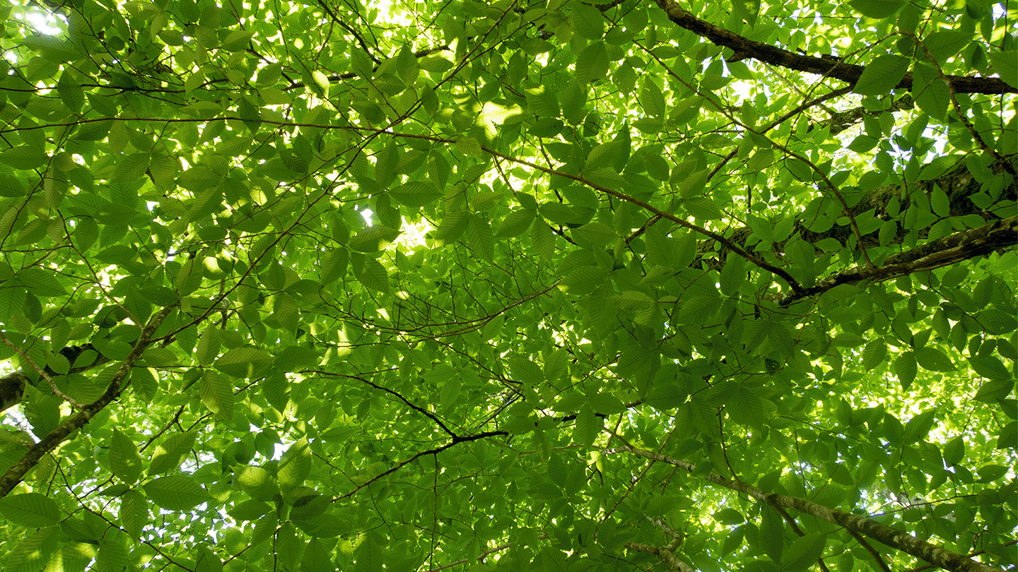
Through the Wheatland Lab, students have the opportunity to learn firsthand using state-of-the-art geospatial technologies and tools, such as developing inventories of forest resources using LiDAR. LiDAR uses laser pulses from an aircraft to measure the distance to objects on the ground, such as trees. “It gives you a measure of the height of the tree canopy as a way to characterize the structure of the forest,” Hayes stated.
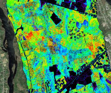
As part of the NSF EPSCoR RII Track-2 grant INSPIRES, Hayes’ research focuses on remote sensing and tracking forests over time. He then uses the data collected to inform ecological process models that can help predict how carbon cycling and other ecosystem processes might change in the future due to climate change. Xinyuan Wei, UMaine research faculty in the School of Forest Resources, works alongside Hayes analyzing forestry data. Wei and INSPIRES colleagues have a manuscript in review on establishing a climate zone map for the state of Maine.
Interdisciplinary collaboration is also a focus of INSPIRES and the Wheatland Lab. INSPIRES researchers create prediction models at different scales. Erin Simons-Legaard, UMaine Assistant Research Professor in Forest Landscape Modeling, works on landscape models, answering forest management specific questions. Working together, Hayes and Wei can then integrate process modeling to address broader climate change questions.
“For INSPIRES, there are a number of places around the state of Maine that have these instruments now where people have made forest measurements. The geospatial aspects come in when you think about the stages of the process: 1) Where should we put these plots? Which is a spatial question. We want to cover the variability of different forest types or different climate zones. 2) Data transfer into modeling, which takes data from one spot along with other information to make a prediction, and then extrapolates that information over larger areas. That’s geospatial,” Hayes explained.
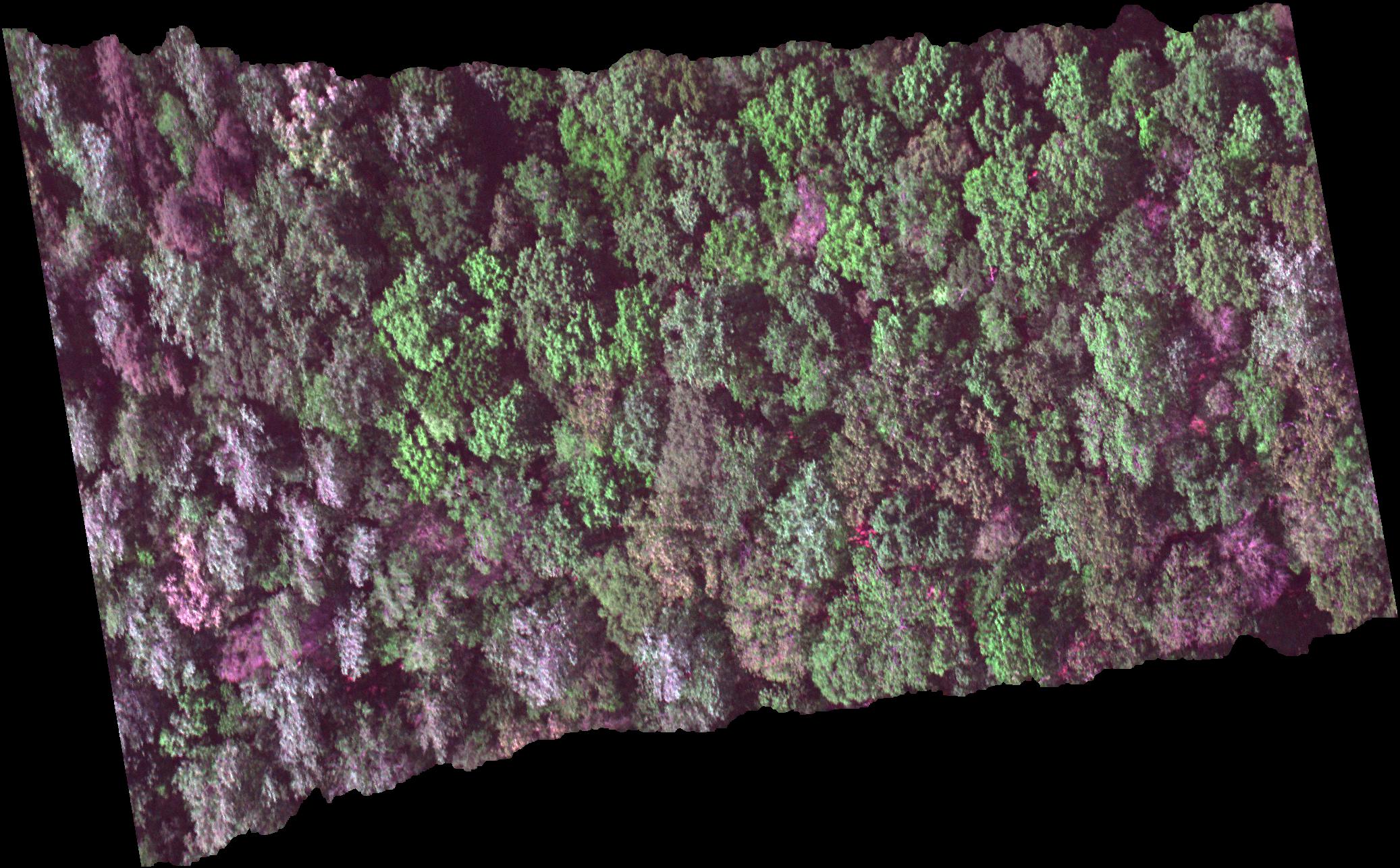
Additionally, Peter Nelson, Forest Ecology Director at Schoodic Institute, takes photos of the canopy and identifies tree species from aerial (drone-based) images taken by an imaging spectrometer or hyperspectral camera that sees hundreds of colors.
Researchers want to know three things about a tree. Nelson’s research addresses the first two questions: What kind of tree it is and how healthy and productive is the tree? But how big is the tree? In combination with Nelson’s hyperspectral data, LiDAR can cut straight through the canopy and answer that third question, providing researchers with much more information.
“Foresters want to know how much money they can get if they cut down that tree. Ecologists like me,” Hayes said, “want to know how much carbon is in that tree that is being sequestered from the atmosphere, thereby mitigating the impacts of climate change.”