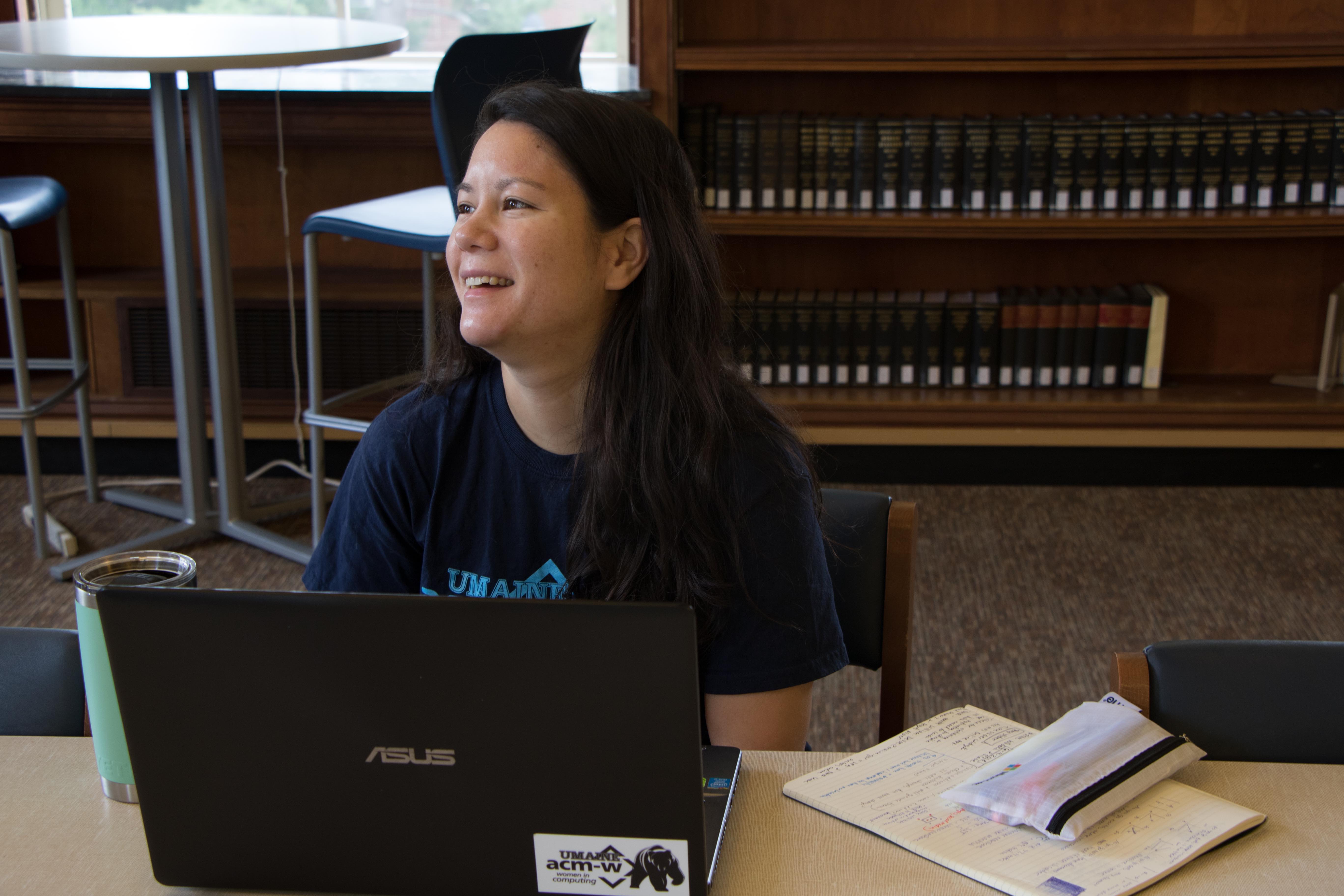
Researcher of the Week: Melissa Kimble
Melissa Kimble is a Ph.D. student interested in spatial data uncertainty and data integration working under SEANET’s Carrying Capacity Theme. Kimble was a child of the Air Force, moving all around the country throughout her youth, but considers Alaska her home. She began her university studies in Anchorage but later transferred to Humboldt State University in Northern California where she studied anthropology and geospatial sciences. Before finishing her masters program, Kimble worked as a spatial analyst at the Institute for Geocomputational Analysis and Statistics and the Center for Marine and Environmental Studies at the University of the Virgin Islands. While at the University of the Virgin Islands, Kimble collected, analyzed, and distributed geographic and geospatial data relative to environmental and marine science research in the U.S. Virgin Islands and the broader Caribbean region. In addition, Kimble participated in, contributed to, and supervised a number of projects, such as the U.S. Virgin Islands Drought Workgroup, the Brewer’s Bay Benthic Mapping Project, and the Revised Wildlife Action Plan. Her time in the Caribbean inspired Kimble to go on to get her Ph.D. at the University of Maine.
During her masters, Kimble worked on projects such as Unmanned Aerial Systems (UAS) Oiled Wildlife Monitoring, the Upper Mainstream Eel River Habitat Assessment Study Plan, and Drought Prone Mapping, in addition to her own research into the impact of varying modeling extent and incorporating multiple sources of uncertainty in habitat suitability models (HSMs) with the novel modeling package, Hyper-Envelope Modeling Interface Version 2 (HEMI 2). Her current work at UMaine and with SEANET takes large data sets and integrates them together to tell a cohesive story. Kimble, in her work, takes various research projects that present their findings in contrasting terminology and develops and communicates a way to connect the fundamental interconnections between the different projects, currently in the realm of Maine aquaculture. This work is not only beneficial to researchers trying to communicate their work and subsequent findings but bridges communication gaps between the public as they aim to describe places in reference to descriptors such as maps or photos. This work generalizes the differing results and data reports so that anyone from the public to collaborators on an aquaculture research project can have accurate estimations that don’t need extensive interpretation and conversion to understand and further communicate. For Kimble, this work has revealed to her a “broad perspective that you won’t necessarily get if you just focus on one thing.”
