Study co-authored by UMaine glacial geologist finds seismic monitoring may improve early warnings for glacial lake outburst floods
A team of scientists, including one from the University of Maine Climate Change Institute, found that monitoring ground vibrations may enhance early warning systems for sudden floods resulting from glacial melting.
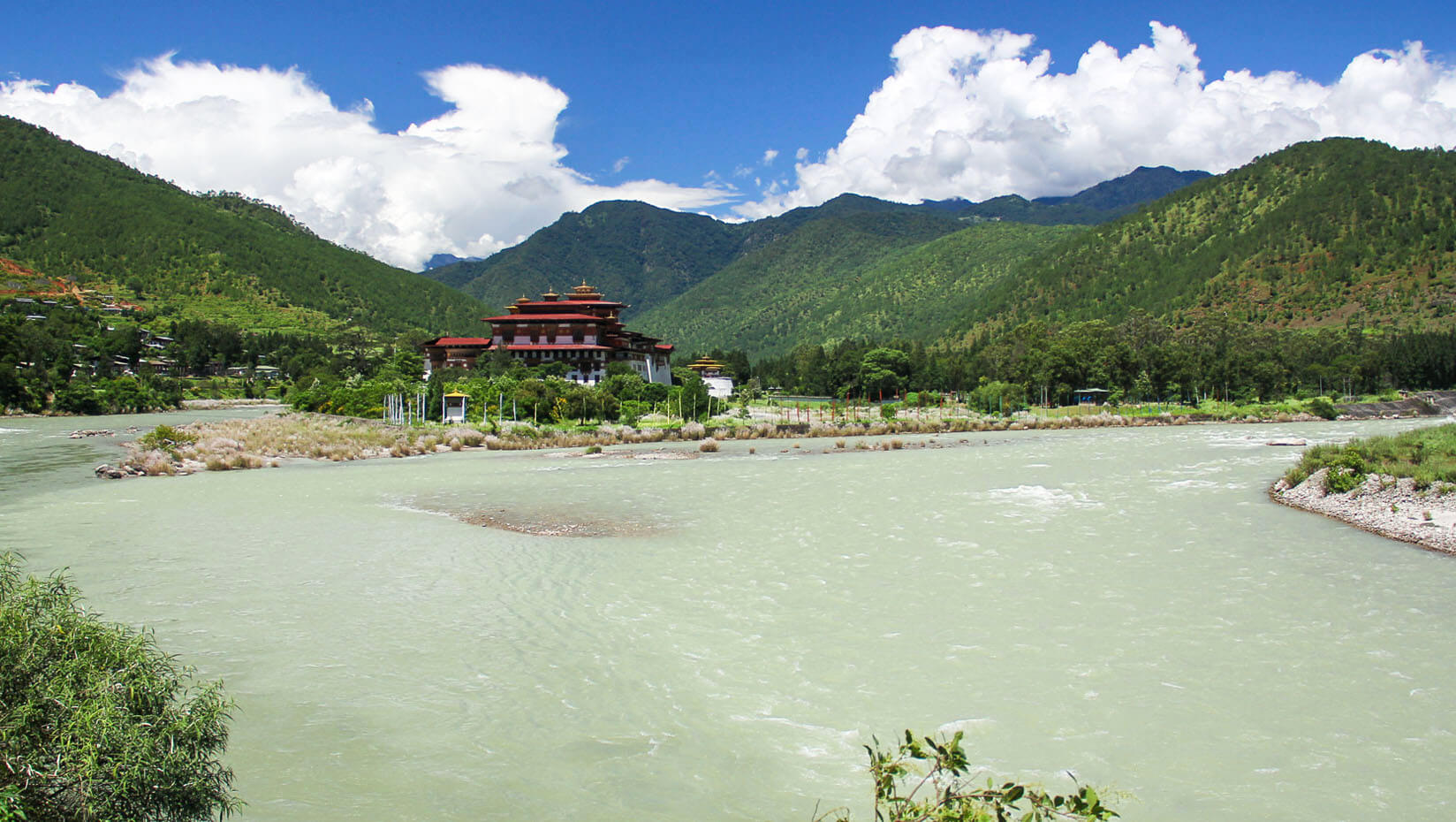
Aaron Putnam, an assistant professor in the UMaine School of Earth and Climate Sciences and CCI, participated in a study spearheaded by Columbia University’s Lamont-Doherty Earth Observatory in which researchers used seismic analysis to learn more about a 1994 glacial lake outburst flood that ravaged the downstream Bhutanese village of Punakha in the Himalayas. Science Advances published a report of the researchers’ findings.
The group discovered that a seismometer array located about 100 kilometers, or about 60 miles, from the glacial lake where the outburst flood originated had recorded it five hours before flood waters reached the village. Using data from the array and other tools, the group created a numerical flood model of the incident, demonstrating how seismic data can improve modeling and help warn downstream inhabitants of a potential outburst. Researchers also used satellite imagery from before and after the flood to evaluate its effects on the area.
“Melt from glaciers of the high Himalaya is a critical resource for downstream communities. Not only are these water resources being threatened by the loss of glacial ice in the Himalayas, but the development of lakes in place of glaciers in these steep mountain environments is increasing the threat of outburst floods, which can devastate downstream communities,” Putnam says. “Early warning systems are critical.”
Read the full release on the Lamont-Doherty Earth Observatory’s website.
Contact: Marcus Wolf, 207.581.3721, marcus.wolf@maine.edu

