Explanatory Maps / Cartes Explicatives
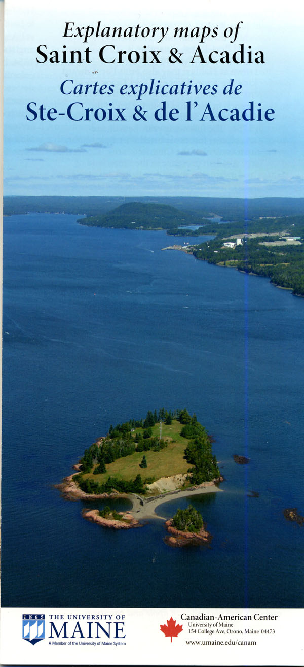 Explanatory maps of Saint Croix & Acadia
A two-sided, bilingual, 4-color educational map/poster detailing Acadian settlement in 1604, deportation, migration and resettlement, with modern demographics from the 2001 Canadian census.
Cartes explicatives de Ste-Croix & de l’Acadie
Deux côtés, bilingue, 4 couleurs carte éducative détaillant colonie acadienne en 1604, la déportation, la migration et la réinstallation, la démographie moderne du recensement canadien de 2001.
__________________________________________________________________