Study Sites
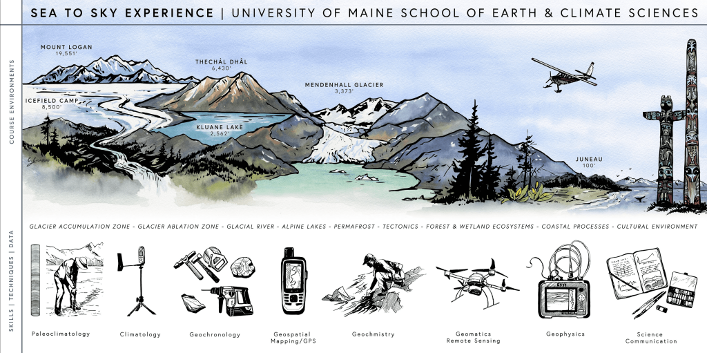
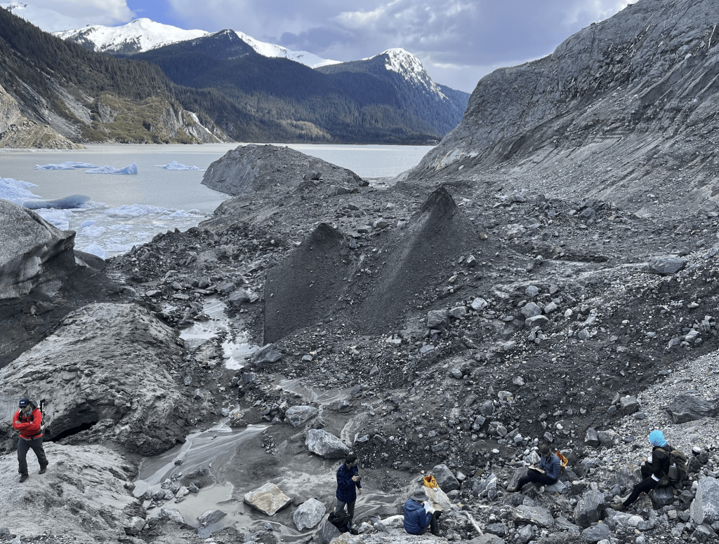
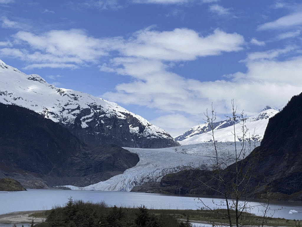
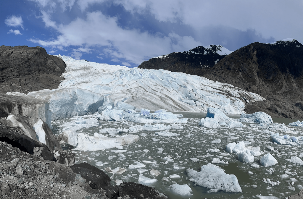
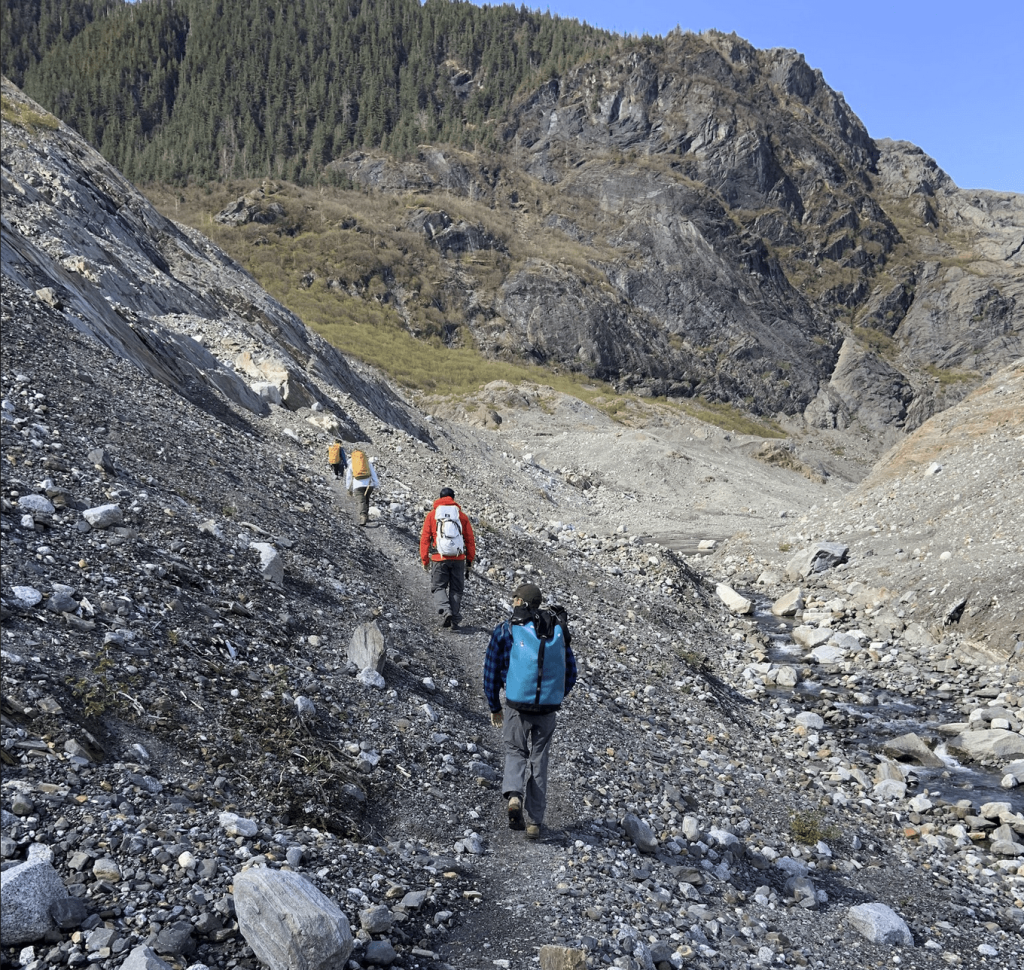
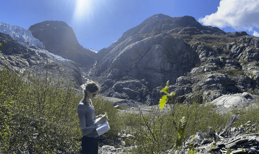
Mendenhall Glacier
Students may visit the Mendenhall Glacier terminus via a 6 mile round-trip hike on the West Glacier trail. While there, they will have the opportunity to collect wood and bedrock samples for radiocarbon and cosmogenic isotope analysis, and sample ice and water for radiocarbon and stable isotope analysis. We may also use a range of geomatic and geophysical techniques to study glacial and surface processes.

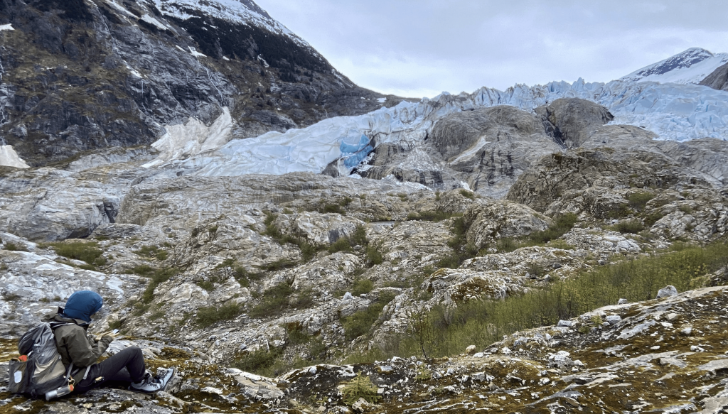
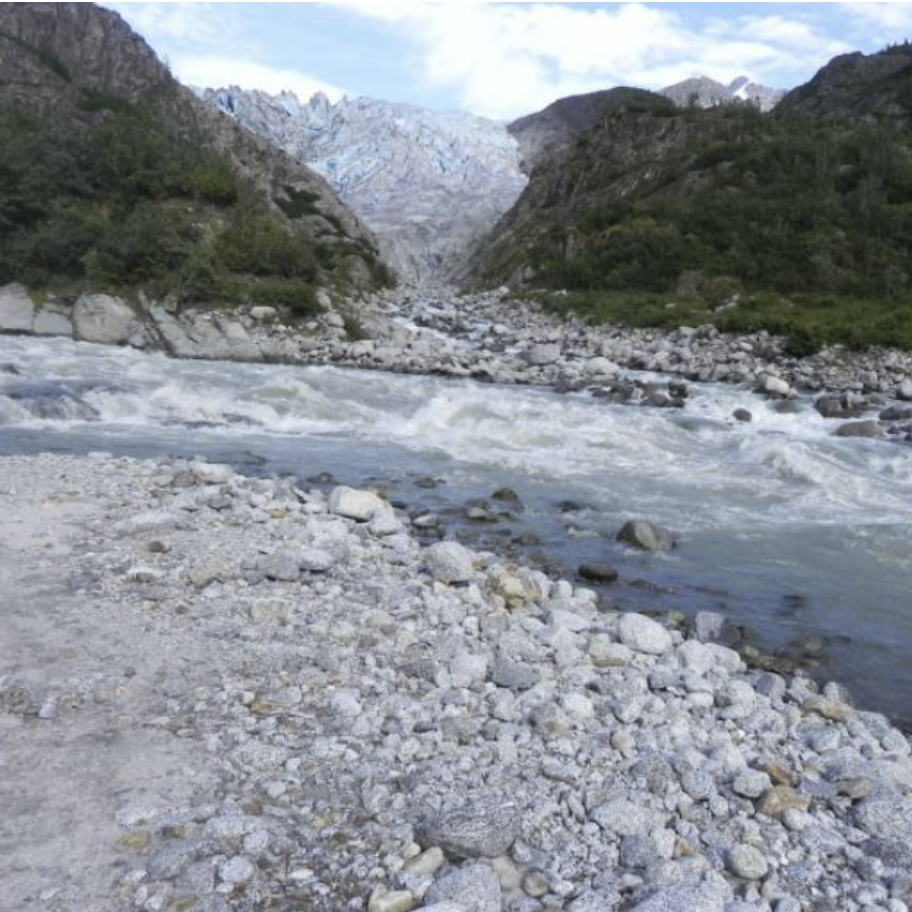
Herbert Glacier
Students may go on a day trip to the Herbert Glacier terminus via helicopter. This remote location is another example of an actively retreating glacier, and is a great place to sample ancient wood and bedrock samples.

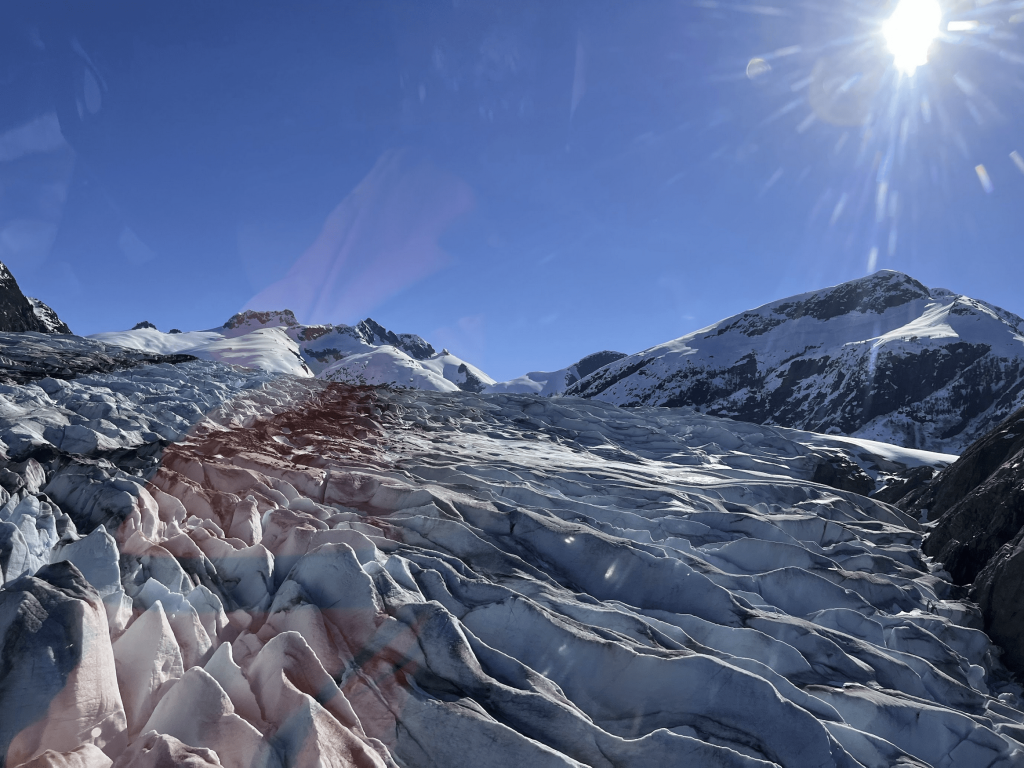
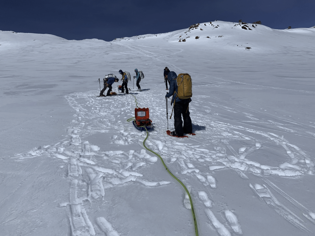
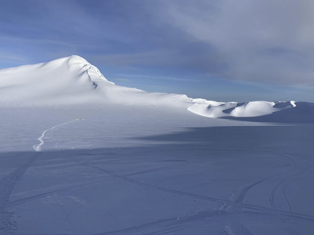
Lemon Creek Glacier
The Lemon Creek Glacier is accessed via Juneau Icefield Research Program Camp 17, which is accessed by foot or helicopter. The accumulation zone of the glacier offers a different experience, and an opportunity for new types of data collection focused on glaciological processes. Students will learn glacier safety and travel in a safe environment.
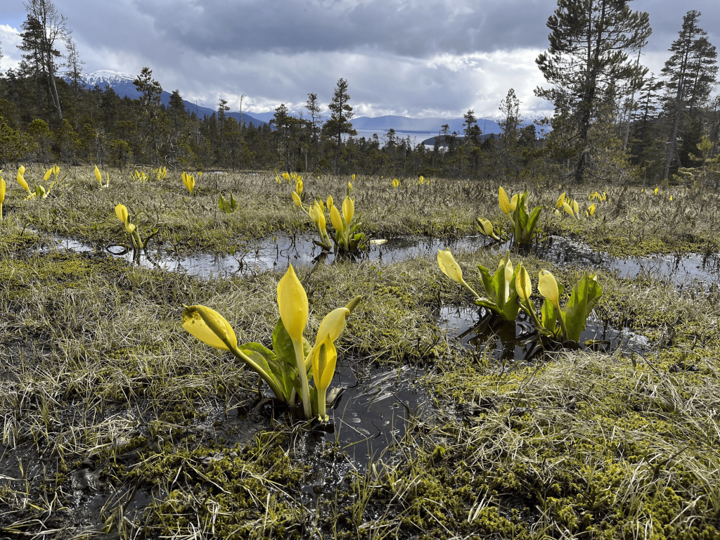
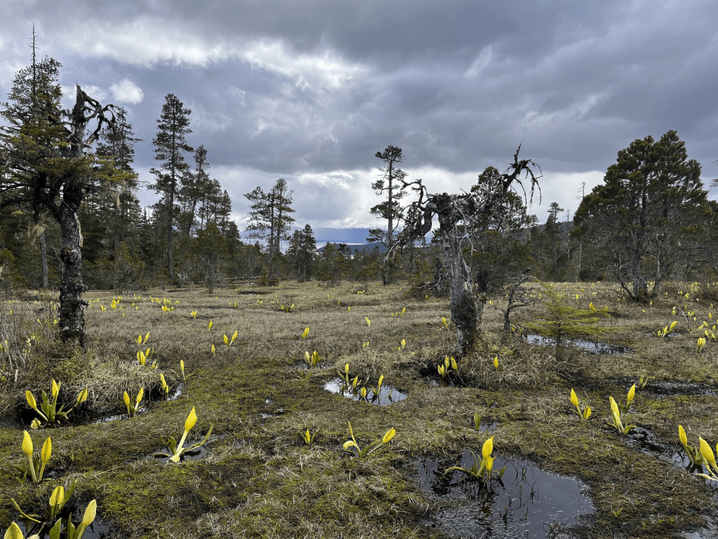
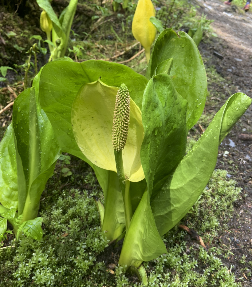
Spaulding Meadows Bog
Students may take a day trip to a bog ecosystem via a 2 mile hike on the Spaulding Meadows Trail. Our objectives may include peat coring and analysis, and real-time trace gas (methane, carbon dioxide, and water vapor) analysis to study carbon cycle processes.
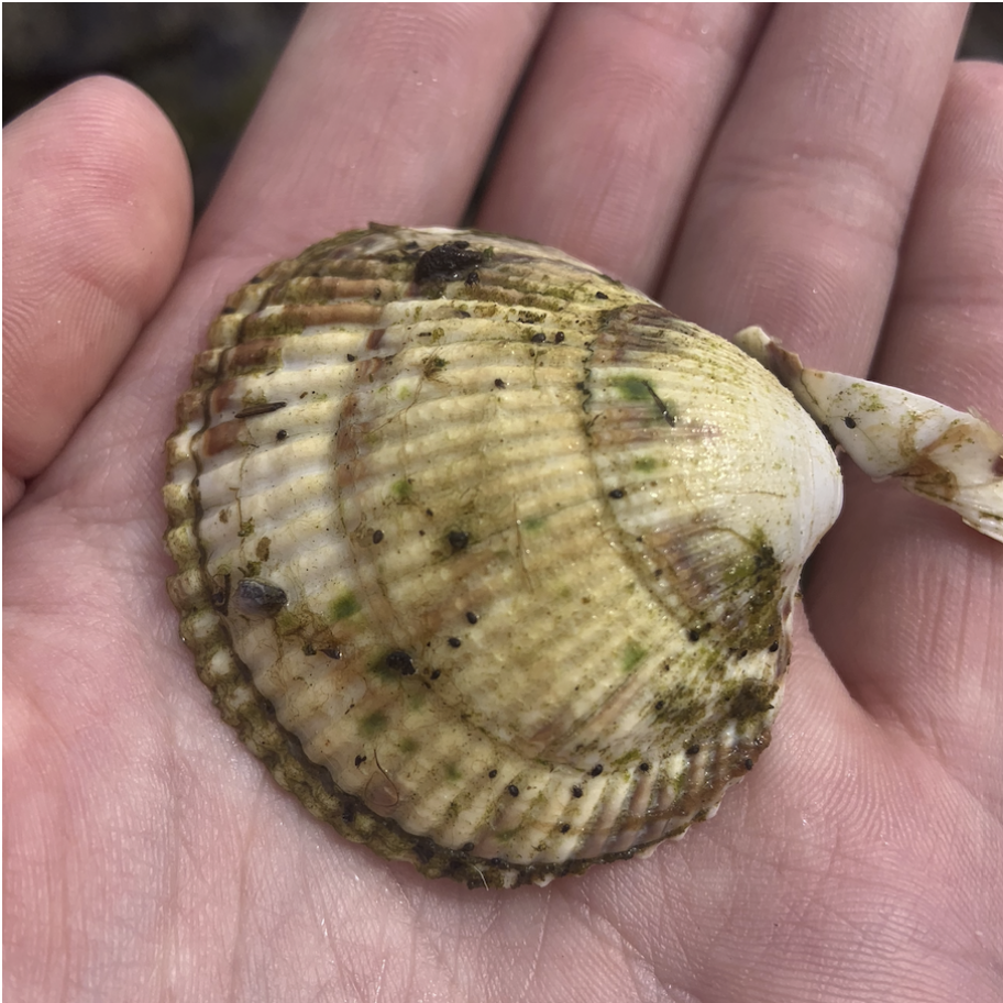
Herbert River
Right next to the mouth of the Herbert River, Eagle Beach is the final stop before the sea. Here students will make observations about the environment and will practice their science communication with sketching. They will also take a water sample for stable isotope analysis.
(Photos from Adventure Flow)
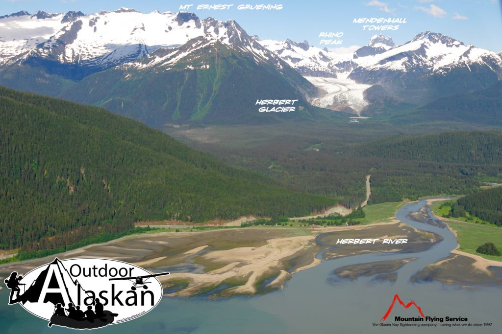

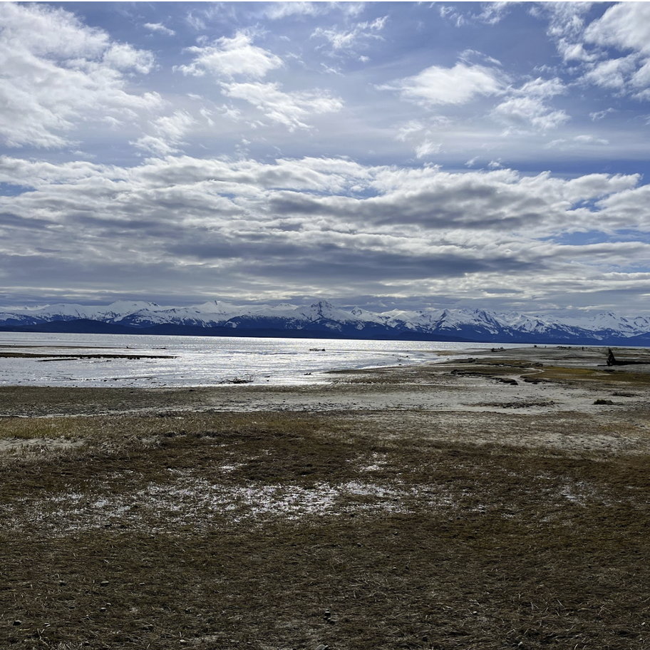
Eagle Beach
Right next to the mouth of the Herbert River, Eagle Beach is the final stop before the sea. Here students will make observations about the environment and will practice their science communication with sketching. They will also take a water sample for stable isotope analysis.
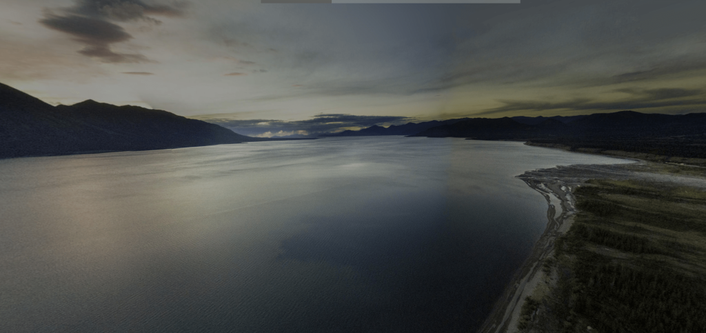
Kluane Lake
Students will stay at the Kluane Lake Research Station, and have the opportunity to study permafrost sites, fluvial and lake systems, glacial geology, and learn about local First Nations communities and culture.
(Photos from KLRS)


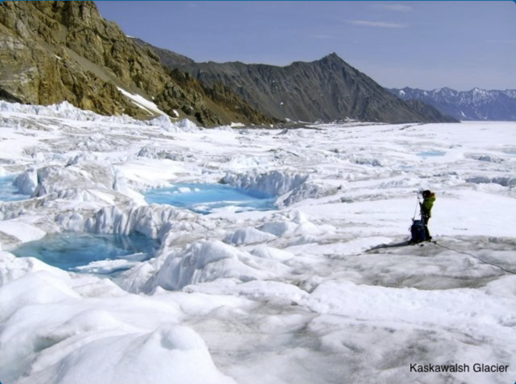
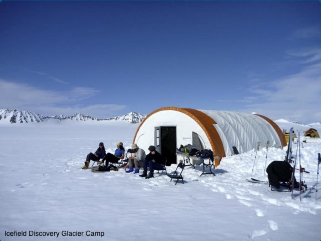
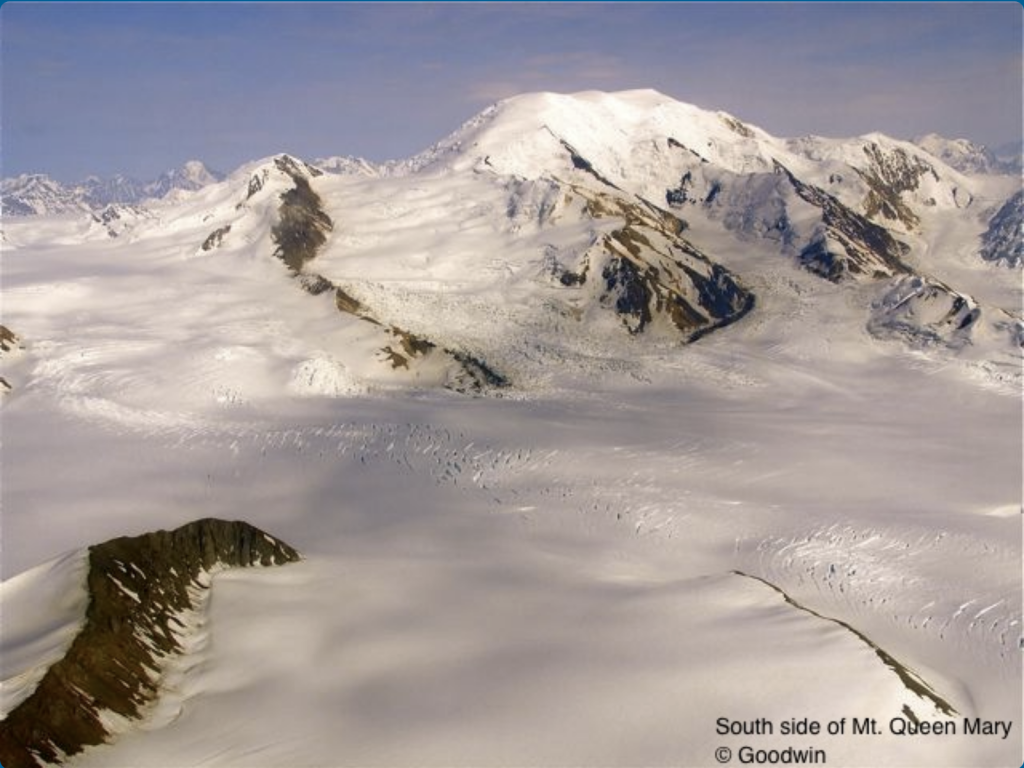
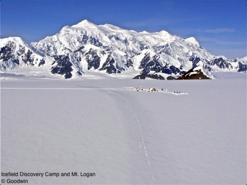
Icefield Discovery Camp
(Photos from Icefield Discovery)