UMaine Ph.D. candidate’s new tool helps predict pollution vulnerability in coastal waters statewide
A University of Maine Ph.D. candidate has created a new mapping tool that can help scientists and resource managers better predict how vulnerable different coastal estuary settings in Maine are to pollution.
Pollution vulnerability in estuaries and bays can be determined by the source of contamination, how it is transported to coastal waters and how long it can last before flushing out to sea based on the physical and hydrological characteristics of the watershed, also known as residence time. The “Estuary Builder” tool, developed by Bea Van Dam from UMaine’s School of Earth and Climate Sciences, provides related data for stream and river watersheds and embayments along the entire Maine coastline.
Van Dam, who is advised by UMaine associate professor Sean Smith, developed the Estuary Builder to assist with the management of harmful coastal bacteria pollution events that affect shellfisheries. Bacteria and other contaminants on land can run off into estuaries during large rain events, and they travel through coastal waterways where they can be taken up by clams and other filter feeders. The consumption of these contaminated shellfish can cause sickness, so the Maine Department of Marine Resources temporarily closes mudflats where clams and filter feeders reside within the affected watersheds.
The Estuary Builder allows users to draw an outlet line across an embayment mouth on an ArcGIS map to receive pollution-related information for the estuary and contributing watershed. It also identifies which of several archetypical Maine coastal setting types the delineated area belongs to, allowing managers to make comparisons to similar areas of the coast.
Van Dam created the tool by incorporating one of the most comprehensive spatial datasets for Maine’s coastal watersheds and estuaries, which she assembled, and using machine learning to teach it how to use those data to examine the vulnerability of varied coastal settings and conditions to estuary pollution.
By providing a decision support tool with an extensive and accessible dataset, Van Dam’s Estuary Builder can help officials better determine where to augment monitoring capacity and the timing of shellfish flat closures, and how to respond to coastal pollution problems. By identifying the pollution culprits, the tool helps to protect consumers from harmful bacteria, limits the occurrence of closures and optimizes the capacity of coastal resource managers. All of these benefits also better support the livelihoods of shellfish harvesters, seafood businesses and coastal communities.
“Shellfishing is such an integral part of both the economy and the culture of coastal Maine, and pollution problems threaten that,” Van Dam says. “This tool is a culmination of stakeholder engagement, data acquisition and synthesis and code development that puts managers just a few mouse clicks away from information about coastal settings to improve capacity to sustainably manage coastal resources into the future.”
Van Dam’s project builds on a multiyear effort by an interdisciplinary team of UMaine scientists to develop several resources that would help predict bacterial pollution problems affecting shellfishing industries along Maine’s coast.
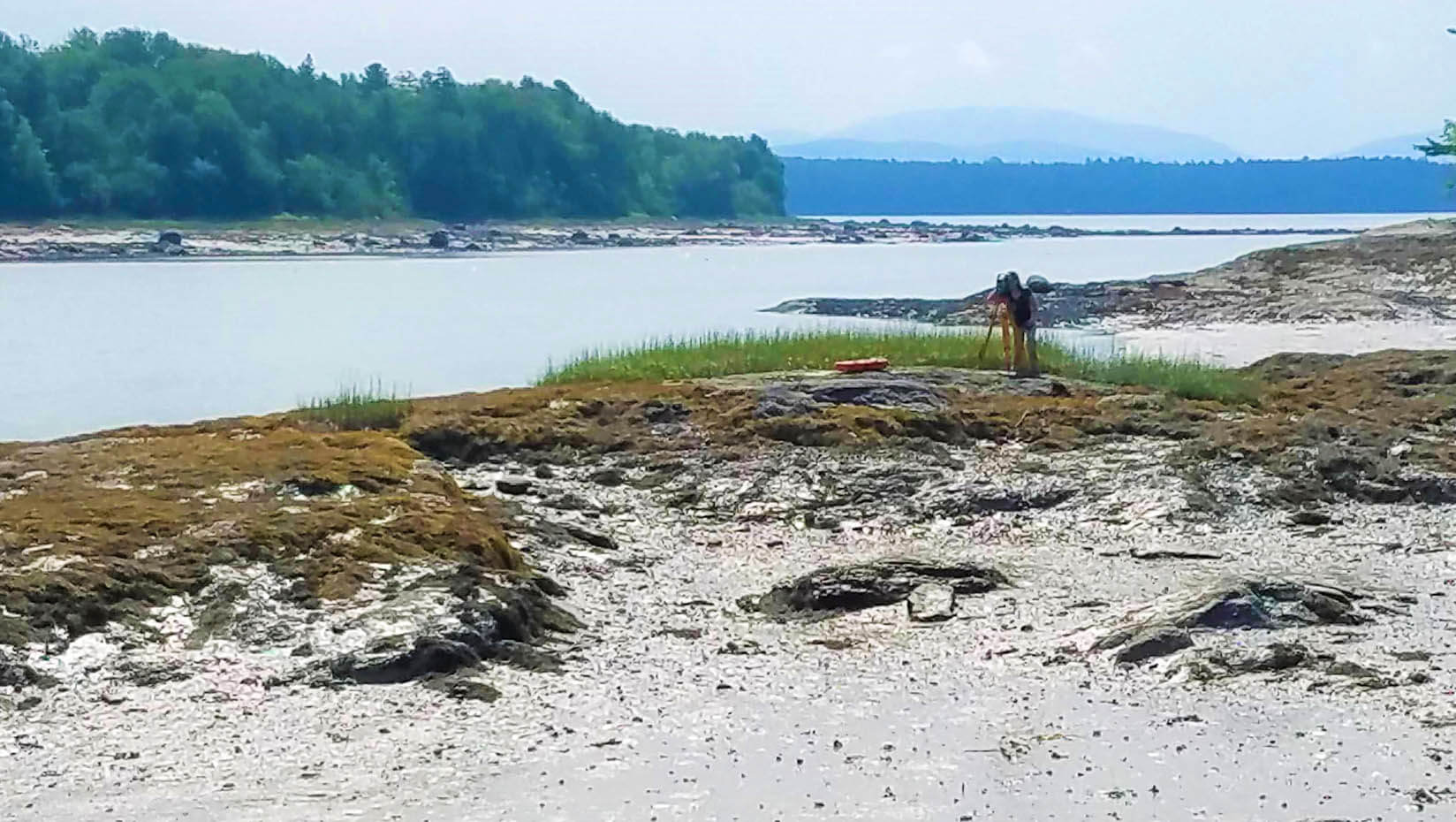
The Watershed Process and Estuary Sustainability Research Group (WPES) is co-led by Smith and Lauren Ross, a UMaine associate professor of hydraulics and water resources engineering. The research was initiated by a National Science Foundation EPSCOR (Established Program to Stimulate Competitive Research) grant led by the Senator George J. Mitchell Center for Sustainability Solutions. The outgrowth of the effort has included extensive work funded by the Maine Water Resources Research Institute and the Maine Agriculture and Forest Experiment Station to measure, model and map conditions driving coastal bacteria pollution in thousands of stream and river watersheds draining into Maine’s tidal coastline.
Smith and colleagues have identified many information gaps along the way, with several related to rainfall and snowmelt runoff pathways in more than 1,000 miles of Maine’s coast, including the entire Portland peninsula and other parts of the state’s most densely populated cities and towns. He and Van Dam have worked toward resolving those gaps, which resulted in the expanded flow path dataset that Van Dam created and used in the design of the Estuary Builder, as well as a Clustering and Vulnerability Analysis for hundreds of tidal embayments and sub-embayments along the length of Maine’s coast.
The Estuary Builder tool establishes a solid foundation for a new generation of decision support tools for coastal resource managers in Maine that can be improved over time and adapted into other coastal regions. Research by WPES affiliates on land-sea connection dynamics in reference watersheds and estuaries has been a big part of that effort. The work has involved over a dozen graduate and undergraduate students who conducted watershed and estuary modeling, stream measurements, sediment sampling, water quality measurements, and stakeholder engagement that will provide information to expand on Van Dam’s foundational work in the future.
“All of the investigative research work has led to a comprehensive assembly of land-sea connection information and knowledge in the form of Van Dam’s Estuary Builder that can benefit Maine communities now and in the future,” Smith says.
Visit the WPES website for more information about the Estuary Builder, related research on harmful algal blooms in Frenchman Bay by Ph.D. candidate Taylor Bailey and other ongoing projects from the group.
Contact: Marcus Wolf, 207.581.3721; marcus.wolf@maine.edu