Past Projects
Late-glacial fluctuations of the Laurentide Ice Sheet in northern New England: deciphering climate-ice sheet interactions – Brenda Hall, Gordon Bromley, Woodrow Thompson (Maine Geologic Survey), Juan Luis Garcia (Pontificia Universidad Catolica de Chile), Mike Kaplan (LDEO), Joerg Schaefer (LDEO)
[2007-2010]
Field parties: Brenda Hall, Woodrow Thompson, Gordon Bromley.
Funding provided by Pike Industries, the University of Maine
Exactly how the Laurentide Ice Sheet – at its height, the largest on Earth – responded to late-glacial climate perturbations has implications for our understanding of climate-ice sheet relationships during glaciations. Yet the true nature of ice-sheet behaviour during this time remains unresolved for large parts of North America. This current investigation is employing glacial-geomorphic mapping and cosmogenic 10Be surface-exposure dating to constrain the age of prominent moraines in northern New Hampshire–western Maine that represent large-scale fluctuations of the retreating ice sheet margin. Our chronology from the AndroscogginRiver valley and the Littleton-Bethlehem moraine farther is revealing the absolute timing of advances, enabling us to compare directly ice-sheet behaviour and changes in oceanic and atmospheric circulation during the tumultuous late-glacial period. Results from these two sites currently are being prepared for publication, while new samples from the Berlin moraine system in NE New Hampshire are being processed in the beryllium lab here at UMaine.
Publications:
Bromley, G.R.M., Hall, B.L., Thompson, W.B., Kaplan, M.R., Luis, J., Schaefer, J.M., (in press). Late glacial fluctuations of the Laurentide Ice Sheet in the White Mountains of Maine and New Hampshire , U.S.A. Quat. Res. doi:10.1016/j.yqres.2015.02.004 http://www.sciencedirect.com/science/article/pii/S003358941500023X
Former Students
Ancient Moraines – Allie Balter
Read about her field experiences and research on her blog.
Shackleton Glacier, Antarctica – Elizabeth Dengler
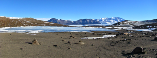
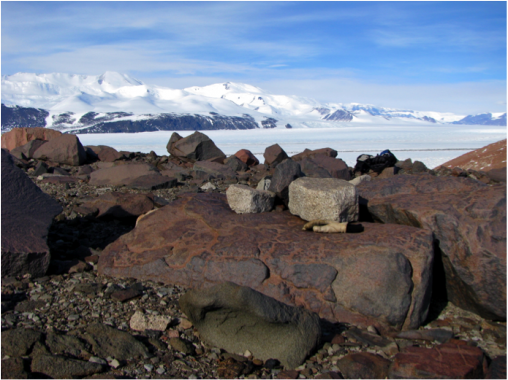
The goal of my project is to establish the Late Quaternary ice elevations and deglaciation history at Shackleton Glacier. This study will improve characterization of the Ross Sea ice sheet, specifically during the LGM, thereby helping to constrain Antarctic contributions to deglacial sea-level rise. My fieldwork for this project took place in November and December of 2011 at Shackleton Glacier in the southern Transantarctic Mountains, Antarctica. At my primary location, Thanksgiving Point, I mapped drifts, moraines, former ice-marginal ponds, shorelines and deltas. Freeze-dried algae were collected from under rocks on moraines and in former ice-marginal pond basins for radiocarbon dating. These dates will help to determine the age of different ice-marginal positions and rates of ice retreat since the LGM. As the ice elevation profile of Shackleton Glacier at the LGM was controlled largely by the thickness of the Ross Sea Ice Sheet these data can help to document the fluctuations of the ice sheet and therefore constrain Antarctica’s contribution to meltwater pulse 1A.
This work was funded by the National Science Foundation.


Renland Ice Cap, Greenland – Aaron Medford
For my Master’s project I am looking at the fluctuations of the Renland Ice Cap (East Greenland) over the Holocene (last ~11.5 thousand calendar years). This time period is climatically relatively stable; however centennial/millennial-scale climate events occur throughout. Scientists have proposed multiple ideas as the cause of these variations, but no hypothesis is widely accepted. Therefore for my project I will produce a high-resolution glacial/climate record for the Renland Ice Cap. In combination with other high-resolution records spanning the globe, we can better understand the forcing producing these climate events.
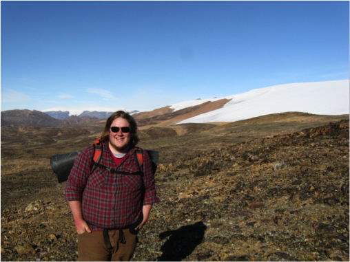
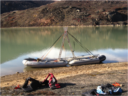
Over three weeks in August, I was lucky enough to do field work in Renland. The field team consisted of myself, my advisor Brenda Hall, and colleagues from University of Cincinnati, Dartmouth College, and Northwestern University. I will use the sedimentary record preserved in multiple glacial-fed lakes, and one non-glacial lake to produce the glacial record for this region. For most of my time in the field I was working on coring multiple lakes in the region. In my field area we collected around 15m of sediment over three lakes. I was also able to walk up to the ice cap and help collect organic samples that will further help constrain the size of the ice cap.
Currently I am working in the lab doing detailed analysis of the cores I collected. Depending on how the sediment changes, by measuring properties such as grain size and organic content, we can start determine if the glacier was contributing more of less sediment and meltwater to the glacial fed lakes.
This work was funded by the National Science Foundation.


