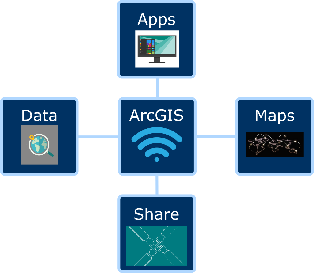
ArcGIS ONLINE IN A SNAPSHOT
ArcGIS Online allows you to build maps, analyze data, create web apps with your maps, and work collaboratively with the use of sharing. Want to explore more about what ArcGIS Online is and what it can do from the esri website?
- Login to ArcGIS Online.
- Link to login: ArcGIS Login
- If you need help logging into ArcGIS, please visit this tutorial: Logging in to ArcGIS Online with Single Sign On
- The browser that is recommended for ArcGIS Online is Google Chrome: Download Google Chrome
- Use these tutorials to help get you started with using ArcGIS Online:
- This is a link that leads you to the ArcGIS Lesson Gallery: Learn ArcGIS
- This is a link that leads you to the Modern GIS curriculum which contains labs based on real-world scenarios, overview slides, and articles/blogs to help you with learning how to use ArcGIS Online: Modern GIS | A GIS Curriculum
- This is a link to Esri Academy that contains Esri Training Courses: Esri Training
- This is a link to Esri documentation that contains many different document tutorials: Esri Documentation
- This is a link to ArcGIS Developers that provides instructions on how to build applications: Tutorials | Documentation | ArcGIS Developers
- This is a link to Esri videos that contains both videos for content and tutorials: Esri Videos
- Need help? You do not have to work with ArcGIS Online by yourself. Book a consultation with an Instructional Designer who can help you figure out how to best use ArcGIS Online for your course(s).
- Here is a link to book a consultation with an Instructional Designer: Pedagogy Consultation – Center for Innovation in Teaching and Learning – University of Maine
- By default, all users have been assigned a student role.
- Instructors can request instructor accounts with additional privileges from IT.
Maps and Layers
- An ArcGIS Online map is an interactive display of geographic information that you can use to tell stories and answer questions.
- Use Express Maps to help tell your story in StoryMaps. This link provides more information about what Express Maps are and how to use them: Use express maps to help tell your story
- Smart Mapping helps you to find symbology that works best with your data. This link provides information about what it is, how to use it, and why: Smart Mapping with ArcGIS Online
- This link provides information about whether to use Boundaries or Centroids given your needs: Boundaries or Centroids?
- Layers allow you to show multiple data sets in one map. ArcGIS has prebuilt layers, but you can also create your own.
- This document provides information about what layers are and the different sources for layers: Layers—ArcGIS Online Help
- This link shows you how you can create different views of the data in a hosted feature layer: Create hosted feature layer views—ArcGIS Online Help
Groups and Sharing Items
- Here is a link that goes over what groups are and how to create them: Instructions about groups and creating groups
- It’s important to note, that only those with instructor privileges can create Shared Update Groups.
- This link goes over sharing items: Information and instructions for sharing items
Survey123
- Survey123 is a great resource that lets you collect your own data. You can use this data to build your own map.
- This link provides you with training on Survey123. It includes documentation, videos, and more: ArcGIS Survey123 Resources | Downloads, Training, Videos & Documentation
- This document includes all of the basics for getting started with Survey123 including how to create, publish, download, and use a survey. It also goes over how to view results and how to copy or delete a survey: Guided tour—ArcGIS Survey123 | Documentation
- This link explains the differences between the fieldworker and stakeholder hosted views that are created from a survey and what they are: FAQ: What are the Fieldworker and Stakeholder hosted views used for in ArcGIS Survey123?
StoryMaps
- StoryMaps are a great way to build a narrative that utilizes different forms of media and maps.
- This link provides an overview of what ArcGIS StoryMaps are: Digital Storytelling with Maps | ArcGIS StoryMaps
- This link helps get you started with StoryMaps and is a great tutorial to follow along with: Getting started with ArcGIS StoryMaps
- This link includes a gallery of existing StoryMaps that you can explore: StoryMaps Gallery
- This link provides you with information on how to access a StoryMap, create a new one, copy an existing one, how to share a StoryMap for group collaboration, and some of the basic tools and information: StoryMaps in ArcGIS Online
Living Atlas and Other Data Collections
- The Living Atlas is a collection of geographic information from around the globe. Use this link to browse the Living Atlas: Browse Living Atlas
- Use these links to explore other data collections: Fogler Library GIS Resources and Maine GeoLibrary Data Catalog
Brightspace
- You can link or embed maps in different areas of your Brightspace course. For example, you can link or embed maps in Content or in different activities (quizzes, assignments, etc…).
- This link provides you with information on how to embed an ArcGIS Map in different areas of Brightspace: Embed an ArcGIS Map in Brightspace
- This link provides you with information on how to link an ArcGIS Map in different areas of Brightspace: Link an ArcGIS Map to Brightspace
Kaltura
- You can embed Kaltura videos in both StoryMaps and Survey123 forms.
- This link provides information on how to publish and share a Kaltura video, along with how to add collaborators: Sharing a link to a Kaltura Video and Publishing or Adding Collaborators
Google Sites
- You can embed an ArcGIS map into a Google Site.
- If you need help embedding an ArcGIS map into a Google Site, please visit this tutorial: Add an ArcGIS Map to a Google Site