Maps For Teaching Canada
All maps require Adobe Acrobat Reader 4.0 or later
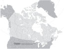
Blank |
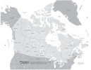
Canada Map |
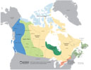
Physical Regions of Canada |
Arctic Archipelago Region |
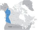
Cordillera Region |
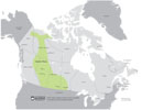
Interior Plains Region |

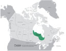
Canadian Shield Region |
Hudson Bay Lowlands Region |
Great Lakes-St. Lawrence |
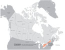
Appalachian Uplands Region |
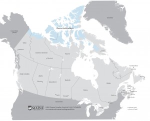
French is Spoken |