Maps to Purchase
They Would Not Take Me There: People, Places and Stories from Champlain’s Travels in Canada, 1603-1616/Les hommes, les lieux, et les histoires retrouvées des Voyages de Samuel de Champlain au Canada, 1603-1616
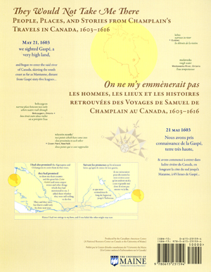
A New bilingual EXPLANATORY MAP produced by the Canadian-American Center, illustrates the travels of Samuel de Champlain as he explored what is now Canada, seeking a route between the St. Lawrence River and James Bay.
Authors/Cartographers: Michael James Hermann & Margaret Wickens Pearce
Translator: Raymond Pelletier
Click here for more information!
_______________________________________________________________
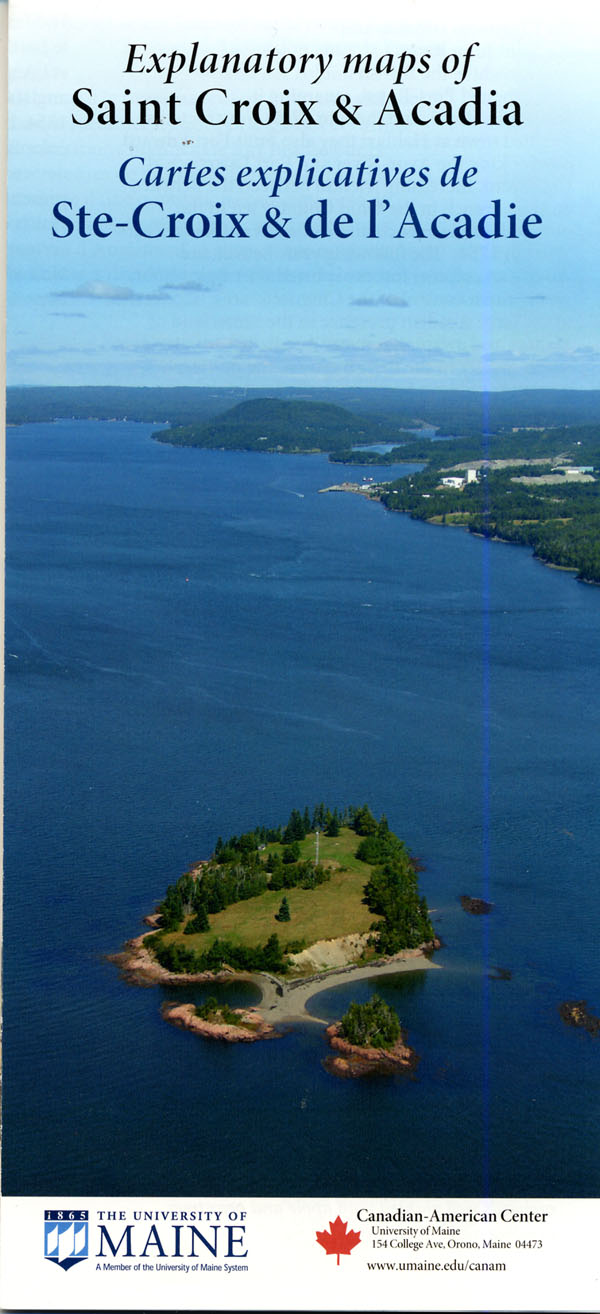 Explanatory maps of Saint Croix & Acadia/Cartes explicatives de Ste-Croix & de l’Acadie
A bilingual, 4-color educational map/poster detailing Acadian settlement in 1604, deportation, migration and resettlement with modern demographics from the 2001 Canadian census.