Bedrock Geology

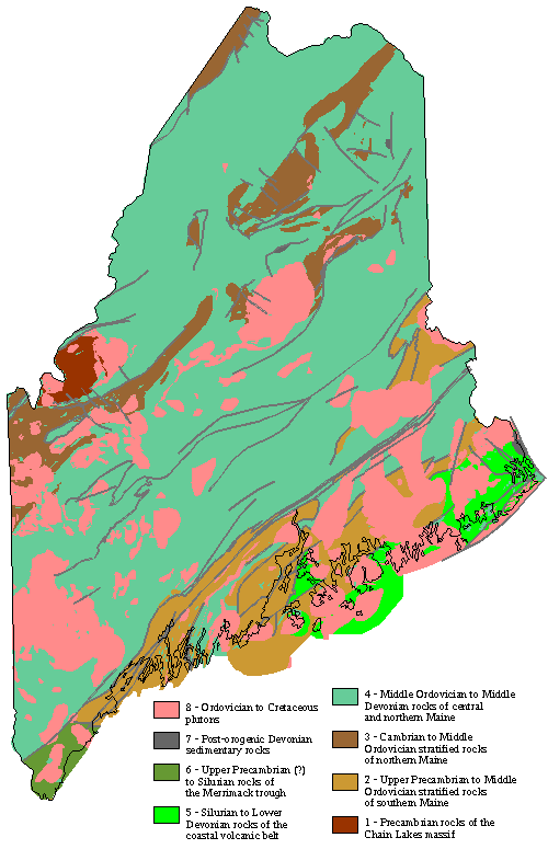
 The watersheds at higher elevations are underlain by highly deformed cyclically-, graded-bedded, non-calcareous, non-sulfidic meta-pelites and quartzites. Lower in the watersheds, particularly in East Bear, calc-silicate gneiss underlies a significant area. These rocks have been metamorphosed to greenschist facies, and locally higher grade, in contact with non-foliated granite dikes and sills. The metasedimentary rocks are equated to the Penobscot Formation of presumed Cambro-Ordovician age (Osberg et al., 1985). The intrusions are presumably associated with the regional Upper Silurian to Upper Devonian post-tectonic plutonism that emplaced the Deblois granite pluton. Granite and calc-silicate gneiss each comprise less than 10% of the bedrock.
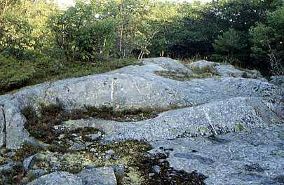
Outcrops of bedrock are very abundant at the top of the watershed, scattered throughout the watershed, and abundant in the thread of the lower reaches of the two streams. At the top of the watershed, the bedrock surface has been highly fractured by frost and locally forms a small-scale felsenmeer. Lower in the watershed, exposed bedrock has no open fractures. Outcrops comprise 2 to 3% of the area of the watershed.
The soils are developed in thin stony lodgement till (late Wisconsinin age; ca. 13,000 B.P.; Thompson and Borns, 1985) that averages 0.9 m thick and ranges from 0 to about 5 m thick). The till is heterogeneous in composition, containing a large lithologic variety of clasts not represented in the local bedrock. Bedrock surfaces near the summit are commonly striated from over-riding ice. Fine-grained fluvial sediments are rare, and consist of pockets of sand separated by a gravel- and cobble-paved stream bed. Organic debris dams are small and ephemeral. Yearly removal of debris from the settling basins behind the v-notch weirs at the base of the watersheds indicates that 3 to 5 cubic meters of mostly organic debris are transported downstream each year. (Norton et al., 1999).
