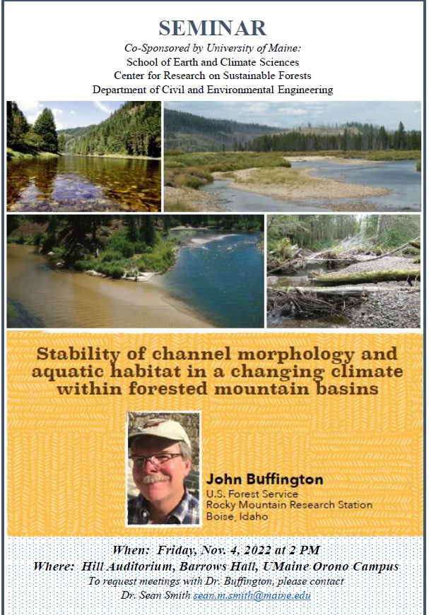
WPES welcomes Dr. John Buffington (USDA) for a seminar on stream stability in forested catchments w/ changing climate (Friday, 11/4, 2PM).
Stability of channel morphology and aquatic habitat in a changing climate within forested mountain basins
John M. Buffington, U.S. Forest Service, Rocky Mountain Research Station, Boise, ID
Time: Friday, November 4, 2 PM ; Location: Hill Auditorium, Barrows Hall, University of Maine (Orono)
A well-established paradigm in fluvial geomorphology is that alluvial rivers are adjusted to the bankfull discharge, which over the long term does the most geomorphic work in terms of the magnitude and frequency of flows and sediment transport (Wolman and Miller, 1960). As such, the bankfull discharge (typically the 2-year flood) is commonly used as an index value for creating or maintaining desired channel types and associated aquatic habitats in stream management and restoration efforts. While it is broadly recognized that the entire hydrograph (not simply the bankfull flow) is needed to maintain physical and ecological function of rivers, few restoration efforts consider the stability of channel morphology and aquatic habitat in terms of the spatial and temporal variability of floods and sediment supply, particularly in the face of climate change. Here, a framework is presented for examining this issue as a function of hydroclimate (snowmelt, frontal rainfall, and thunderstorm/monsoonal environments). Regime diagrams are used to predict channel characteristics (depth, grain size, slope), reach morphology (pool-riffle, plane-bed, etc.), and streambed scour as functions of discharge and bedload sediment supply. Coupled with digital elevation models, predictions are extrapolated to watershed scales. As expected, results show that physical and biological conditions are less stable and more variable as one moves from snowmelt to monsoonal hydroclimates, but responses are spatially variable at watershed scales (modulated by process domains and the degree of channel confinement). In most cases, flood variation creates a disturbance regime that is expressed as variation about a mean, quasi-stable morphology, but in some cases, channels may alternate between different reach types, exhibiting a greater degree of disturbance (i.e., state changes). Formal inclusion of spatial and temporal variability in our representation of fluvial processes, biophysical condition, and restoration design is advocated, and is central to assessing the potential effects of natural and anthropogenic disturbances (dams, diversion, land use, climate change) on riverine ecosystems.

