WPES begins new Colorado River sediment mapping project
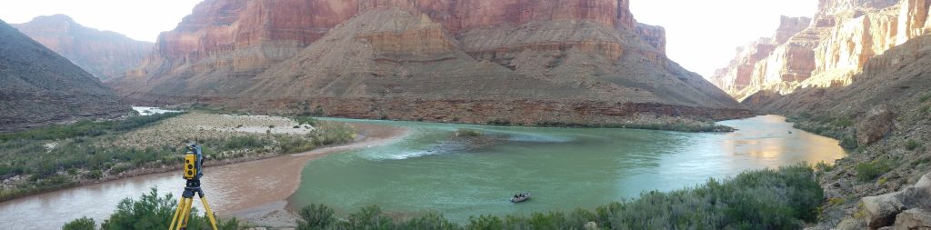
The WPES research group has initiated a new collaborative project focused on mapping channel bottom textures in the Colorado River below Glen Canyon Dam. The work uses data acquired by the USGS during previous river measurement expeditions and expands on techniques described by Buscombe, Grams, and Smith (2015). The research has relevance to river management decision making, coincidently the focus of interviews on PBS News Hour this week that includes WPES colleague, Dr. Jack Schmidt, from Utah State University.