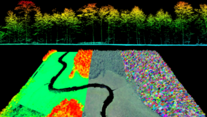
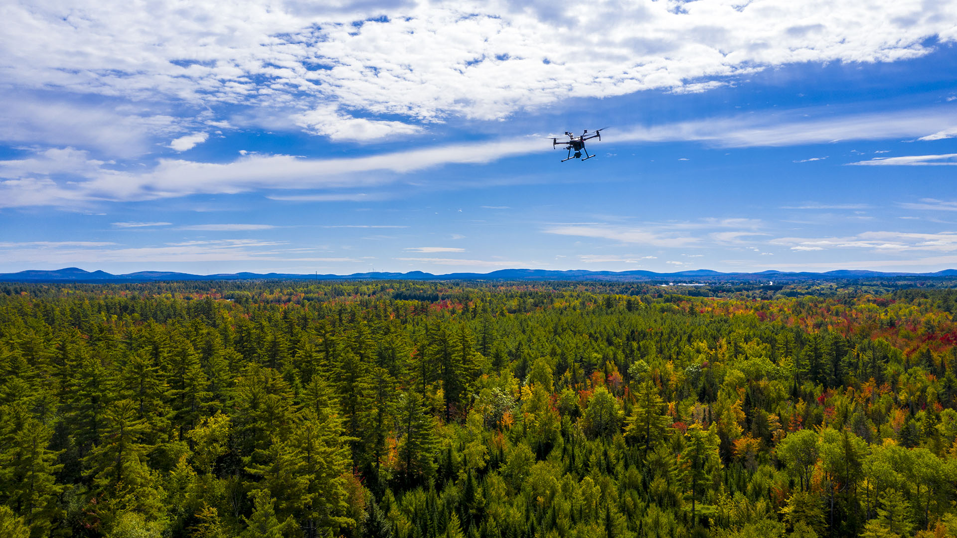
This webinar will discuss how the Wheatland Geospatial Laboratory supports teaching and research in the School of Forest Resources. We will also cover professional engagement and workforce development activities in geospatial science with our many partners and stakeholders in Maine’s forest sector.
Why is Geospatial Analysis Important?
 Sustainably and profitably managing forestlands requires that forest managers monitor and predict changes in a wide variety of factors across forested landscapes over long periods of time. In the past two decades, significant advances in Global Positioning Systems (GPS), Geographic Information Systems (GIS), and methods of geospatial analysis have revolutionized forest management and will continue to do so well into the future. Geospatial technology has become a new “cornerstone” for forestry professionals to provide and protect a wide array of forest resources on private and public lands around the world. As a result, all forest resource students must develop state-of-the-art skills in geospatial analysis.


