Forest Management
Silviculture and Forest Operations
Since the establishment of the Maine Agricultural and Forest Experiment Station in 1887, the university and our collaborative partners have expanded our experimental forest network to over 14,000-acres across multiple stand types, providing our researchers a living laboratory to unravel the complex variables which influence forest growth and health, invasive and native pest control, harvesting techniques and
practices, soil preservation, wildlife habitat and carbon dynamics.
Examples of our forest management services include:
- A multi-zoned 3,900-acre research forest owned by the university and co-operated with the U.S. Forest Service which provides over 60 years of silvicultural and ecological results across diverse management prescriptions
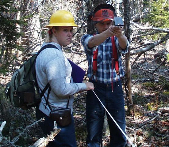
- Over 60 active field sites on university and industry partner locations across Maine and New Brunswick to gather real world data on forest regeneration, wildlife behavior, soil productivity and commercial thinning
- A highly-instrumented forest ecosystem site operated in collaborative partnership with Ameriflux. There, we monitor the carbon storage and uptake dynamics of our forests and assess how climate variability impacts forest-carbon behaviors
- Operation of an active stakeholder-driven research cooperative for more than four decades that delivers timely, focused solutions to challenges faced by forest professionals
- Research, analysis and training of modern harvesting operations, silvicultural practices and forest planning to assist clients in developing and implementing sustainable best management practices
Forest Informatics
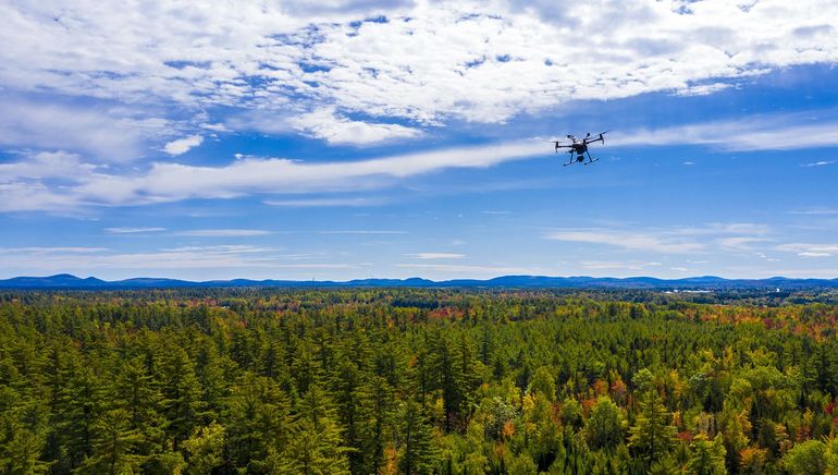
Modern advancements in technology and connectivity have changed the way forest stewards manage their lands. The University of Maine combines the history of proven field studies with these advanced state-of-the-art forest monitoring and analysis tools, aerial mapping technologies and geospatial systems to provide modern forest professionals an unprecedent level of detail on the health and status of their forest lands.
Examples of our forest informatics services include
- Advanced satellite, aerial and UAV forest mapping technologies including visual infrared data, multi-spectral and photogrammetric imagery
- Spatial data collection and analysis of forest systems and land use dynamics for forest professionals, government agencies, community planners and development groups
- Sophisticated machine learning algorithms that combine geospatial and plot data to generate detailed information on forest attributes and estimation, habitat mapping and forest health monitoring
- Training of forest-focused professionals on the use and analysis of modern informatic technologies and applications