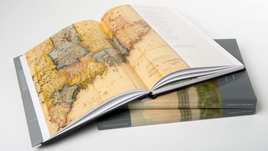
The Historical Atlas of Maine
The Historical Atlas of Maine presents in graphic form the historical geography of Maine from the end of the last ice age to the year 2000. Organized in four chronological sections, the Atlas tells the principal stories of the many people who have lived in Maine over the past 13,000 years. The Atlas covers the history of Native peoples, European exploration and settlement, the American Revolution, Maine statehood, industrial development, and the rise of tourism and environmental awareness. To tell these stories, the Atlas presents a rich array of newly created maps and graphics, which are now available online and for download. The maps and images on this website are the copyright of the University of Maine Press and should not be used for commercial use.
| Part | Plates |
| 1. From Ice Age to Borderland, 13000 BP – 1790 | 1-19 |
| 2. Shaping Maine, 1790-1850 | 20-37 |
| 3. Industrial Maine, 1850-1910 | 38-62 |
| 4. Maine in the Modern Era, 1910-2000 | 63-76 |
Research for the Historical Atlas of Maine was largely undertaken by faculty and students at the University of Maine. The Atlas project acknowledges funding from the National Endowment for the Humanities, the 119th Maine Legislature, the University of Maine, the University of Maine System, the Bernard Osher Foundation, the National Science Foundation, John T. Cyr & Sons, Inc., Ocean Properties Ltd, and Esri.
The Historical Atlas of Maine has received the following awards:
- American Association of Geographers: Globe Award, 2016
- Cartography and Geographic Information Society: Best of Show, 2016
- Cartography and Geographic Information Society: Best Book/Atlas, 2016
- Maine Writers and Publishers Alliance: Excellence in Publishing, 2016
- Copies of the Historical Atlas of Maine can be ordered from the University of Maine Press.
Hardcover copies of the Historical Atlas of Maine can be purchased by clicking the below button.
A Note About File Access:
At this time, we are unable to honor any share requests for the digital plates of the atlas due to copyright issues. We are working to make these files publicly available. If access is needed, we suggest finding a copy of the atlas in a library or purchasing a copy. Thank you for your interest and for understanding!