Where is Canada?
Books | Videos | Maps OnLine | Map Activities | Sources of photographs
Link to On-Line Curriculum
 Books
Books
- The Big Book of Canada: Exploring the Provinces and Territories
- The Kids Book of Canada
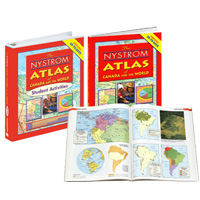
- Nystrom Canadian Desk Atlas
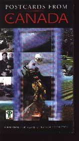 Postcards from Canada (41 mins) – “Using aerial photography and narrated by Peter Gzowski, it shows us the wonder of the wilderness, the impact of Canadians on the land and the ingenuity we have shown in turning huge obstacles into advantages.
- Physical Geography of Canada – This stunning study of landforms, together with selected features of natural history and geology, takes students on a journey covering one of the world’s largest, but least populated, nations.
 Maps On-Line
- Regions of Canada plus Blank Maps – PDF files to download
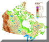
- Physical Maps of Canada
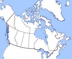
- Blank Maps of Canada
- Learn the Provinces/Territories of Canada – Student Web Tutorial using pneumonic memory hints
- Interactive Blank Map Outline Quiz
- Interactive geography activities using maps of Canada
- Topographic Map Search – key in Latitude and Longitude – http://maps.nrcan.gc.ca/topo_metadata/index_e.php
 Selected websites posting photo images of Canada.
(Disclaimer: We do not have permission to use photos from these sites; check with site webmasters for use permission.)
- http://www.travelcanada.ca/travelcanada/app/en/us/postcards.do
- http://www.trailcanada.com/photos/index.asp
- http://sts.gsc.nrcan.gc.ca/clf/tsd_images.asp
- http://yahooligans.yahoo.com/around_the_world/countries/canada/
canada_pictures/