Mapping Maine’s Future
It’s the same story in many communities across Maine and the nation. Historic buildings sit empty downtown as strip malls proliferate on the outskirts. Former forests and farm fields grow houses instead of timber and food as development spreads helter-skelter. Every errand means getting in the car.
 This inefficient development pattern can increase taxes and infrastructure costs and undermine quality of life and ecosystems. Encouraging more sustainable development will require new ways of seeing and doing things. Rob Lilieholm and his colleagues are creating innovative models to help.
The researchers are using a technique called alternative futures modeling to simulate how different land use policies, changing demographics and many other variables will affect the Maine landscape. These models synthesize complex layers of data, including spatial data and expert knowledge from key stakeholder groups, to generate detailed maps that will help identify the best land for various purposes such as development, conservation and protection of working forests and farmland.
Planners, landowners, citizen groups and others can use these maps to evaluate trade-offs and consequences, economic and otherwise, of alternative land uses. Ultimately, the maps will help communities make more informed decisions about the future they’re trying to create.
“The idea is anticipating the future to make better land use decisions,” says Lilieholm, E.L. Giddings Associate Professor of Forest Policy at UMaine. “These models help people step back and see patterns and trends. It gets them thinking about the big picture and the irreversibility and hidden costs of what we do.”
Better planning tools are urgently needed as large-scale change sweeps through Maine, altering the landscape and communities. These forces include recent ownership changes in large tracts of forestland in northern Maine in which land is divided into smaller parcels among more owners. This, in turn, can lead to fragmentation. “As the landscape becomes fragmented, even if it stays in forest, it usually becomes less open to recreation, less available as a source of timber, and a lot of things get compromised,” Lilieholm says. “The fragmentation process is a pipeline toward development.”
At the same time, development pressure is intensifying in the southern half of the state. Private forestland in the lower Kennebec River watershed, for example, is among the most at risk in the nation for conversion to residential development.
Planners and other decision-makers have only limited information to address such challenges, yet the choices they make today will affect the economic, social and environmental future of their communities. The alternative futures models Lilieholm’s team are creating will allow users to simulate how different decisions and variables ranging from socio-economic conditions to regulatory climates interact and affect the landscape. This virtual glimpse of possible outcomes can help communities avoid potential negative consequences on the ground and guide development onto a more sustainable path.
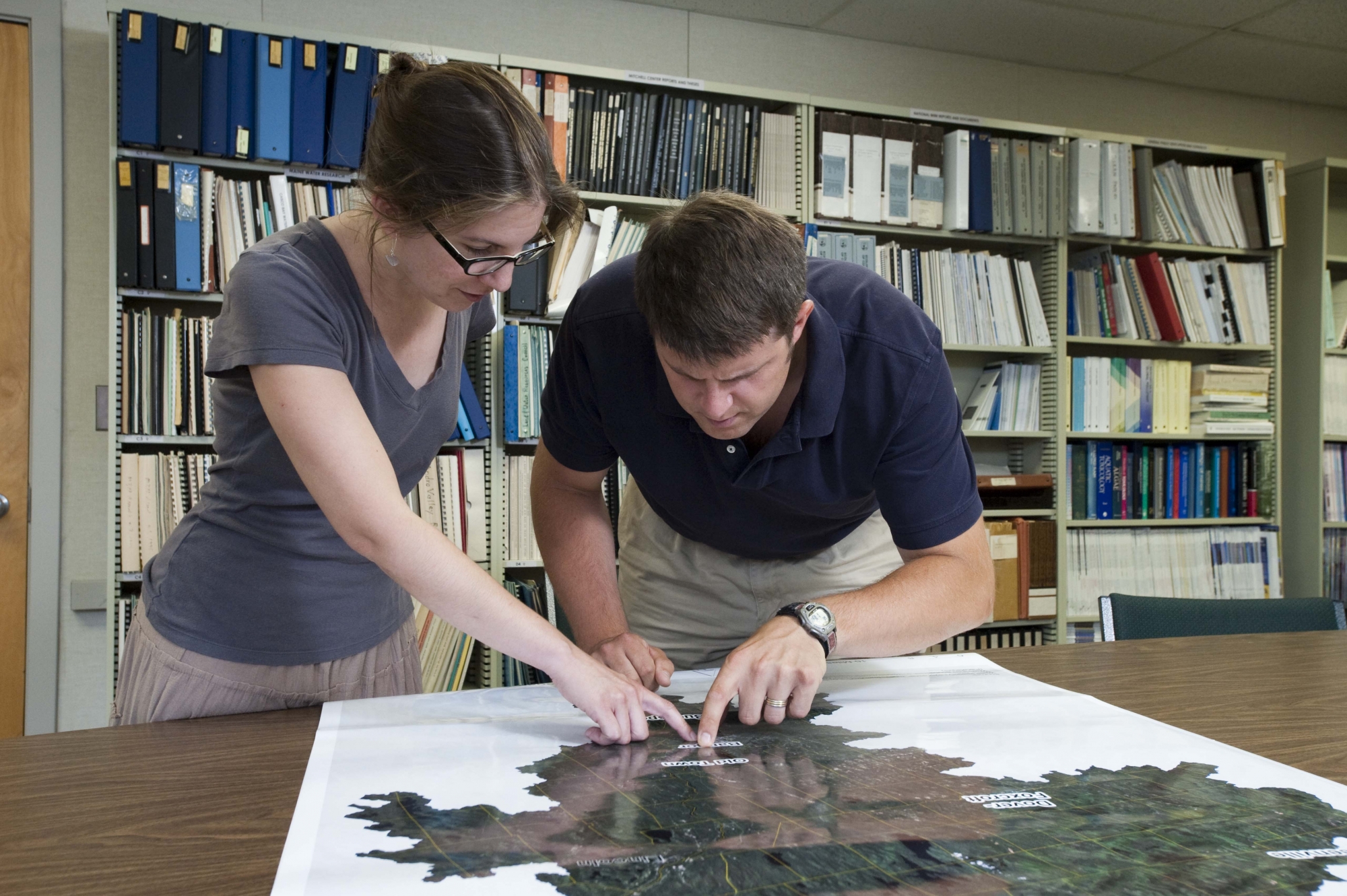
Stakeholder input is a key element of these models—and the focus of research by SSI graduate students Spencer Meyer and Michelle Johnson. Meyer is helping to build stakeholder-driven models of land use in Maine, and Johnson will work on making sure the team’s models are relevant and used to help solve real-world challenges.
“We want to know from conservationists, foresters, farmers and developers what makes land best suited to their missions,” says Meyer, a doctoral student who also is an associate scientist for forest stewardship with UMaine’s Center for Research on Sustainable Forests. “Once we get a better understanding of their needs, we can begin to identify areas where land use pressures will likely overlap.”
Throughout the project, Johnson will study how these and other models are used in land use planning and land conservation initiatives. “This research will give us information on what users need from these models and help us ensure that our models are actually used in real-life planning processes,” Johnson says.
After they’ve completed data collection and analysis, Lilieholm’s team will pilot test alternative futures models in towns in the Lower Penobscot River Watershed. Bangor is in the heart of this region, where residential development is expected to affect 135,000 acres over the next 20 years, according to a 2009 report by the U.S. Forest Service.
 The models also will reveal areas in the watershed where potential land use conflicts may occur, for instance land suited for both development and food production—as well as potential compatibilities where land could be used for multiple purposes such as timber production and outdoor recreation. Such information can help planners locate new development near existing roads, schools, shopping areas and other infrastructure, and more strategically conserve land important for a variety of purposes such as wildlife habitat, wetlands protection and recreation. “This approach is not just common sense—it makes economic sense as well,” Lilieholm says.
The opportunity to help solve real-world problems through interdisciplinary collaboration inspired both Johnson and Meyer to do their doctoral work with SSI. They say this combination is rare in scientific research.
“I chose SSI because I know that PhD work can be isolating,” says Johnson, a natural resource planner interested in sustainability issues in land use. “I wanted to have a community to be a part of, and I wanted the questions I ask from my own research to be situated within a larger context.”
Meyer, who has worked on sustainable forest management with large landowners in Maine, also wanted to collaborate with a diverse team of researchers. “Through SSI, I have the chance to work with impressive researchers and communicators. This kind of cross-discipline work is not very common in research,” he says. Meyer adds that he recently sat down to discuss “hot topics” in land use planning with colleagues in economics, communications, urban planning and biology. “And I’m a forester,” he says. “We were really all on the same page. That’s pretty amazing.”