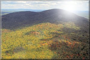
The Bear Brook Watershed in Maine is the site of a long-term, gaged, forested, first order paired stream watershed located in eastern Maine (44o52′ N lat., 68o6′ W long.) approximately 40 km from the Atlantic Ocean. The site lies on the southeast slope of Lead Mountain, with total relief of 210 m and a maximum elevation of 450 m. Two nearly perennial, low DOC, low ANC streams (East and West Bear Brook) drain 10.3 and 11.0 ha contiguous watersheds.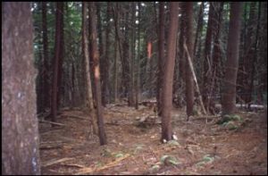
Vegetation at the site is dominated by northern hardwoods (Fagus grandifolia Ehrb., Acer rubrum L., Acer saccharum Marsh., Betula alleghaniensis Britt., Betula papriferaMarsh., and Acer pensylvaticum Marsh.) with stands of softwoods dominated by red spruce (Picea rubens Sarg.) but including other softwoods (Abies balsamea Mill., and Tsuga canadensis (L.) Carr.) at higher elevations.
Soils are coarse, loamy, mixed, frigid Typic Haplorthods developed on till averaging one meter in thickness.
Bedrock is quartzites and meta-pelites intruded locally by granite. Hydrologic flux from the watersheds is gaged with V-notch weirs in collaboration with the US Geological Survey. The US Geological Survey posts real time discharge for East Bear and West Bear on the internet.