Barbara Wheatland Geospatial Analysis Laboratory
Week of Events
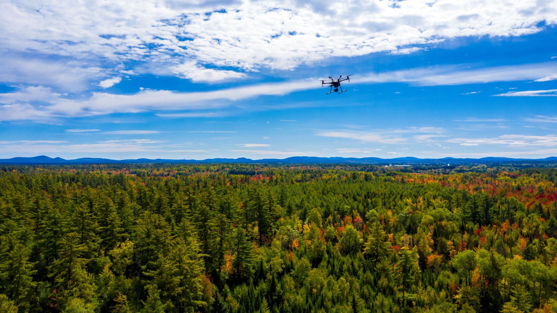
Wheatland Workshop – Unoccupied Aerial Systems in the Forest Environment
During this two-day workshop, participants will learn how to ethically use UAS to develop actionable aerial surveys and related data and map products of forested environments to support good decision-making in professional forestry, forest conservation, and related disciplines. Participants will also develop knowledge and skills in efficient imagery collection, geospatial data and map product generation, […]
Wheatland Workshop – NAIP Enhanced Forest Inventory Demystified
Wheatland Workshop – NAIP Enhanced Forest Inventory Demystified
This half-day workshop will explore custom workflows for NAIP-based Enhanced Forest Inventories. We will discuss core concepts, important considerations for success, and provide hands-on experience with key steps involved to generate EFI prediction maps. We will also address how to effectively integrate EFIs into your GIS workflows and decision-making process. Register here: https://naip-efi-demystified-aug2025.eventbrite.com


