
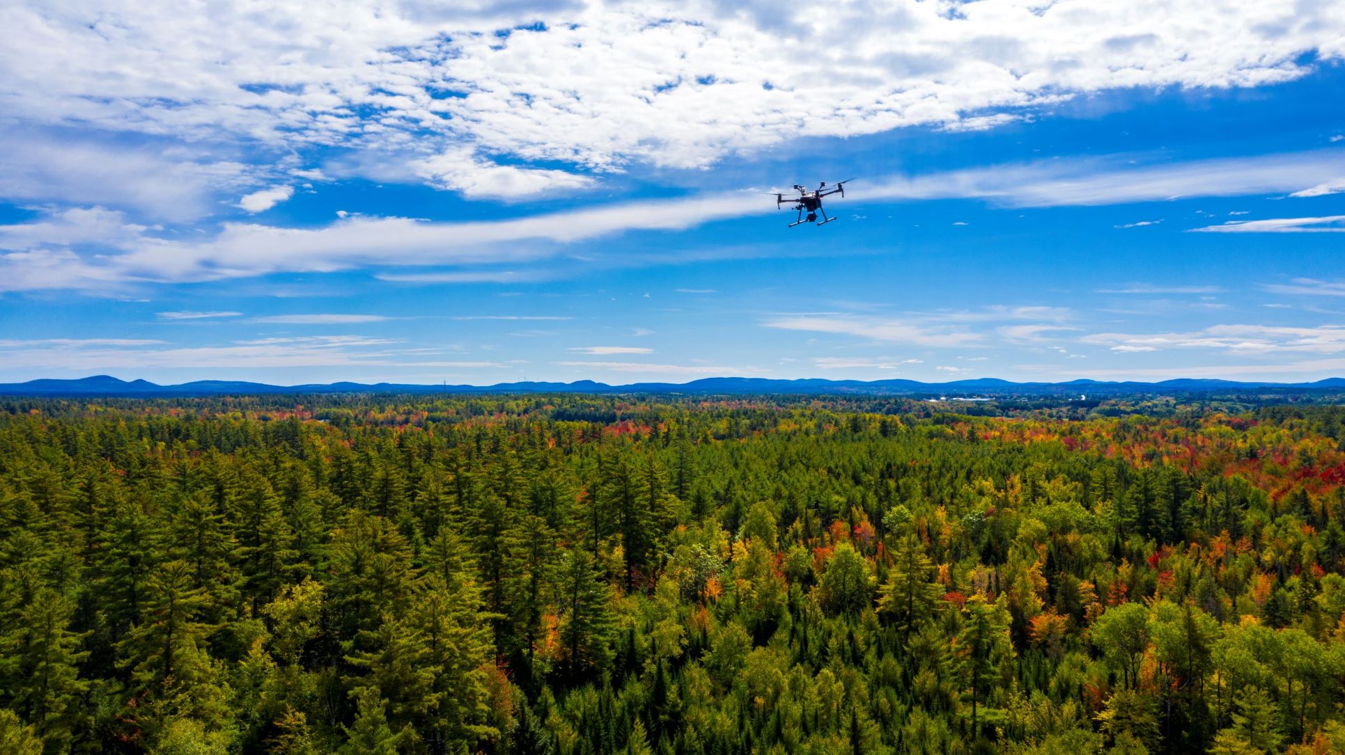
During this two-day workshop, participants will learn how to ethically use UAS to develop actionable aerial surveys and related data and map products of forested environments to support good decision-making in professional forestry, forest conservation, and related disciplines. Participants will also develop knowledge and skills in efficient imagery collection, geospatial data and map product generation, and effective data management strategies applicable across various real-world applications.
Register here: https://uas-in-forestry-aug2025.eventbrite.com