
May 2nd Virtual (3-4 pm via Zoom), unlimited attendance. Recording here.
May 3rd In Person Field Tour (8:30-11:30 am site TBD), capped at 40 people. Register here for the field tour.
Tyler Everett, of Mi’kmaq Nation, United South and Eastern Tribes Inc., Passamaquoddy Forestry Department, and UMaine PhD Student, will discuss the importance of land trust action to inventory ash across the region. During the online webinar, he will introduce concepts and core skills related to ash inventory, including:
- Recognizing brown, white, and green ash
- Delineating the edge of brown ash wetland forests
- Collection of stand, plot, and tree level data that is useful to monitoring, management, and seed collection efforts
- Monitoring for EAB
- Cultural access agreements & data sovereignty
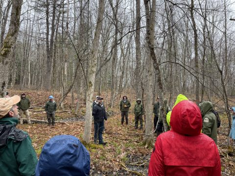
All of these concepts and core skills will be demonstrated through a field tour on the morning of May 3rd. The location of this field tour is TBD but it will be no more than 1 hour away from Rockland to provide adequate time to travel to the MLTN conference.