FOREST

Lidar image of trees. Blue to green to red gradient over trees.

UMaine and Colby College partner to improve forest health and monitoring

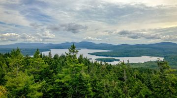
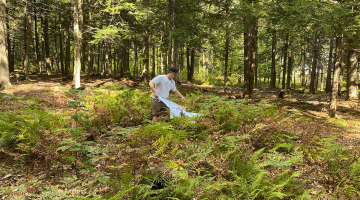
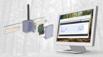
In a state where the majority of land is covered by forests, monitoring them is critical to understanding and maintaining their health. Forests are constantly changing based on the environment, now more than ever with increased drought conditions in Maine. To understand these changes, there needs to be comprehensive data available to stakeholders in the […]

Read more

Vista from top of hill in Rangeley, Maine.

Merging geospatial technology with community resilience 

Throughout his academic career, Prince Obosu has been passionate about the diverse applications of geographic information technology (GIS) and how it can be applied to community resilience. With a background in geomatic engineering and geospatial analysis, he joins the University of Maine’s School of Forest Resources as a Ph.D. student and part of the NSF […]

Read more