Skip to main navigation
Skip to site navigation
Skip to content
Apply to UMaine
A-Z
Calendar
Give
Map
News
Careers
myUMaine
Earth and Climate Sciences
Earth and Climate Sciences
Welcome!
About Us
ECS News
Academics
Research
People
Donate
About
Become a Student
Academics
Research
Athletics
Search...
Prospective Students
Current Student
Faculty & Staff
Community Member
myUMaine
A-Z Directory
News
Calendar
Careers
Map
Quicklinks
Search...
Welcome!
About Us
ECS News
Academics
Research
People
Donate
east Antarctica
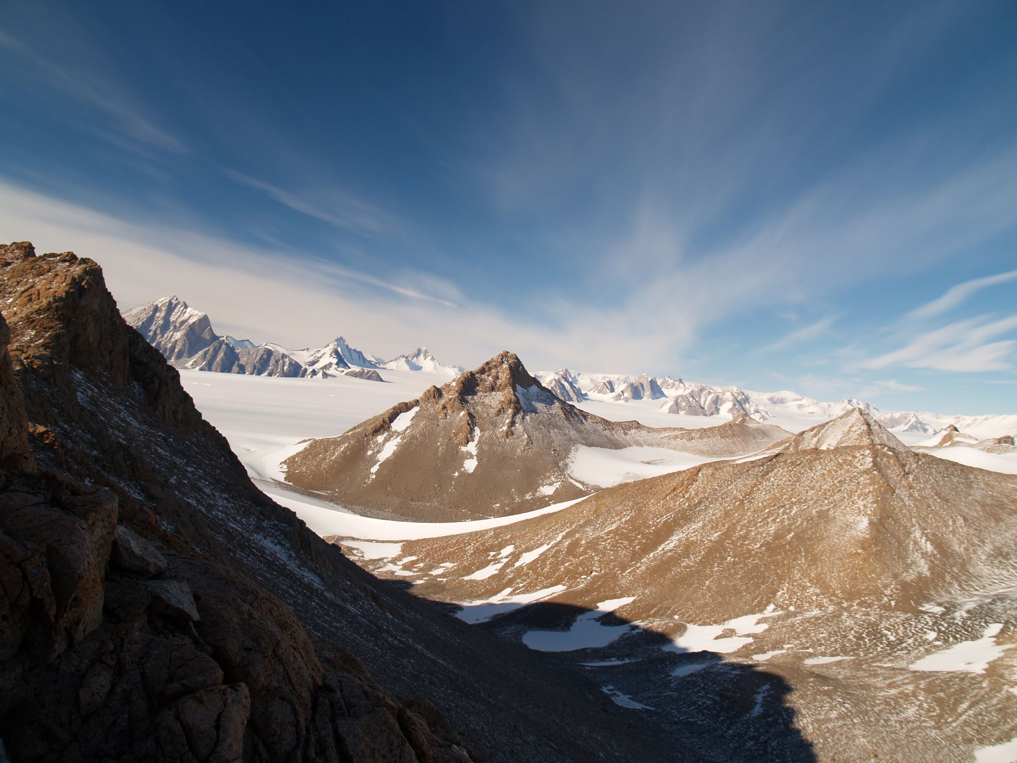
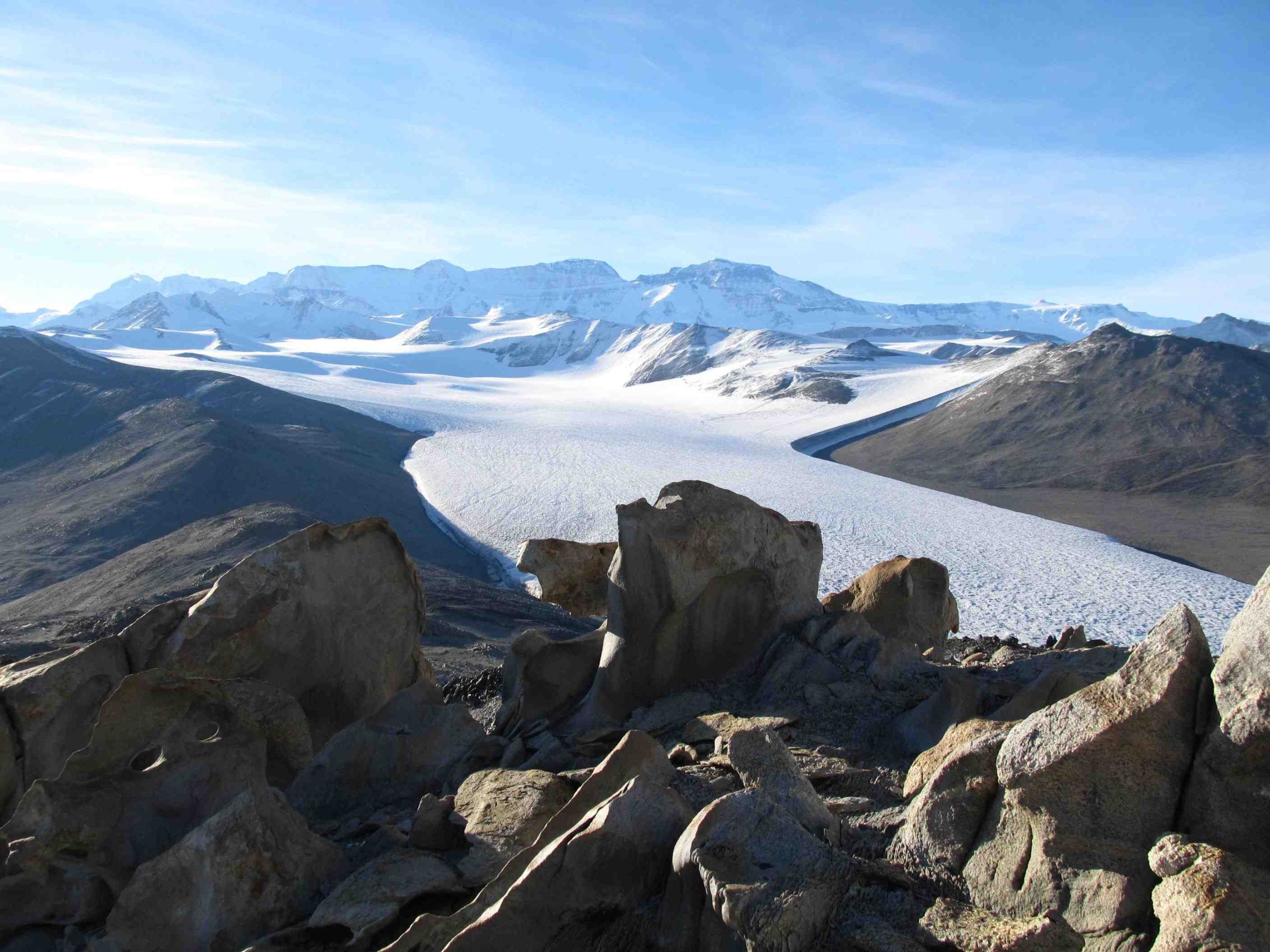
View from the summit of the Cox Peaks, Scott Glacier, Antarctica. Photo credit: Brenda Hall.
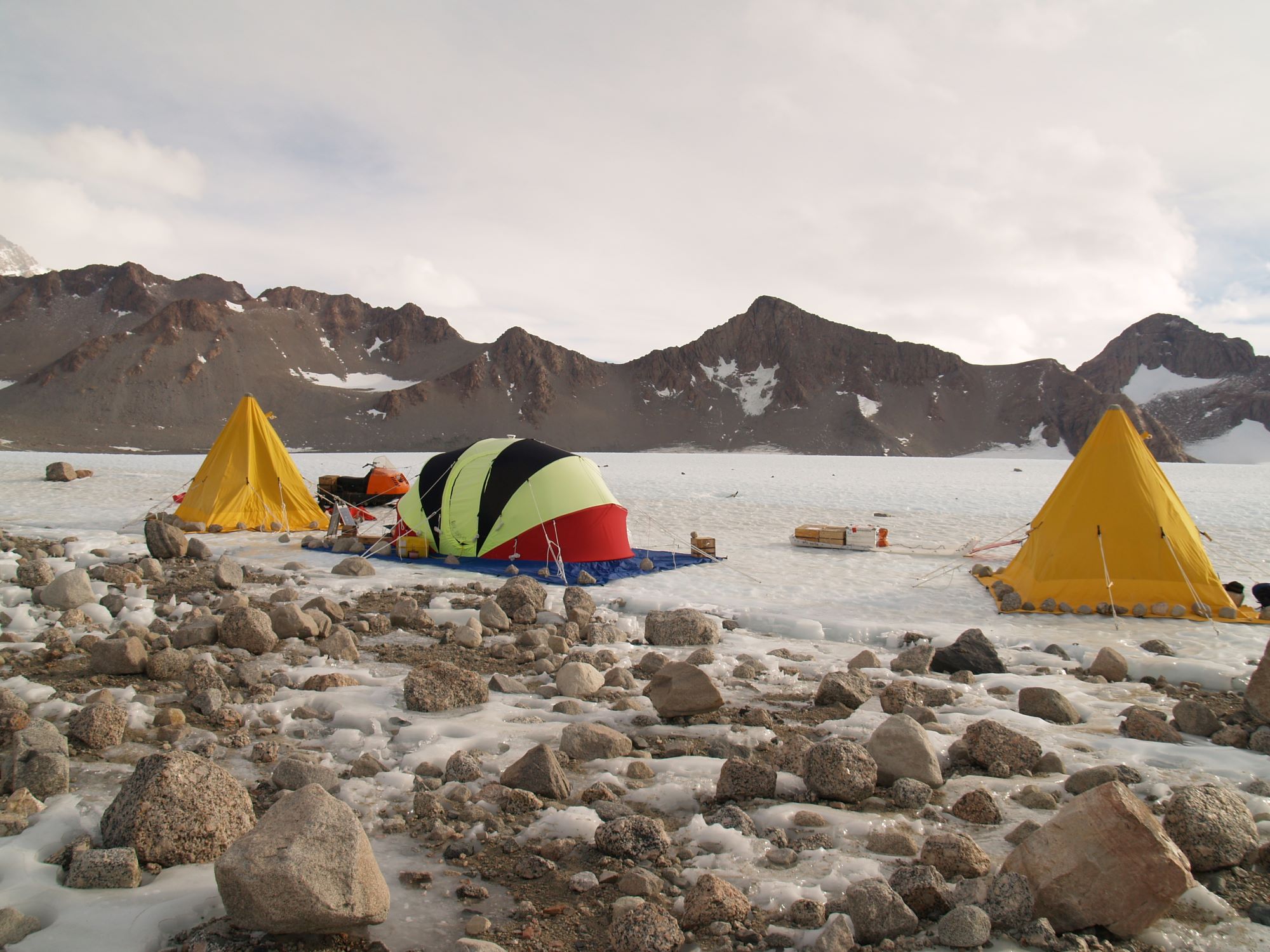
Remote camp at Cox Peaks, Scott Glacier, Antarctica. Photo credit: Brenda Hall.
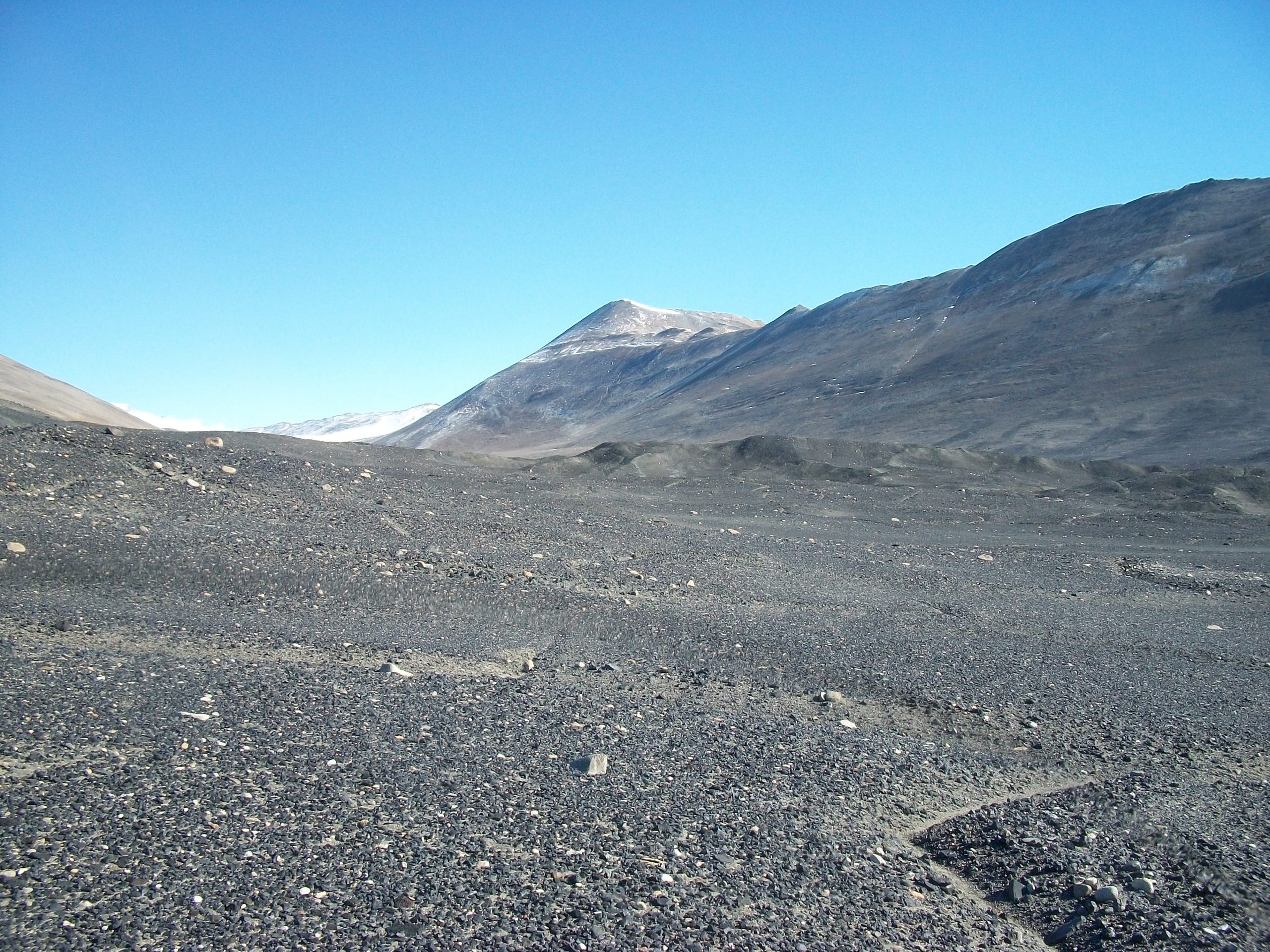
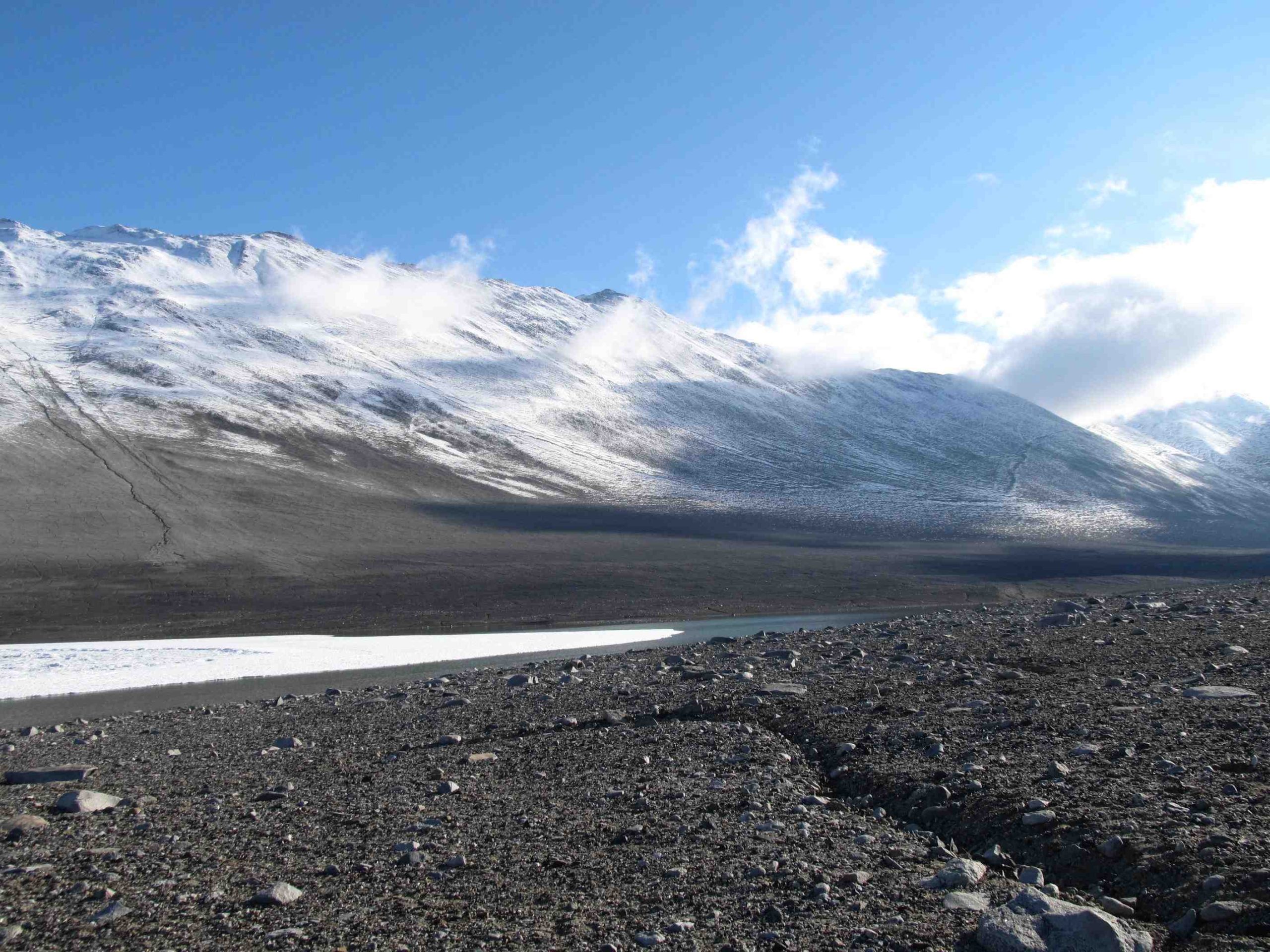
Royal Society Range
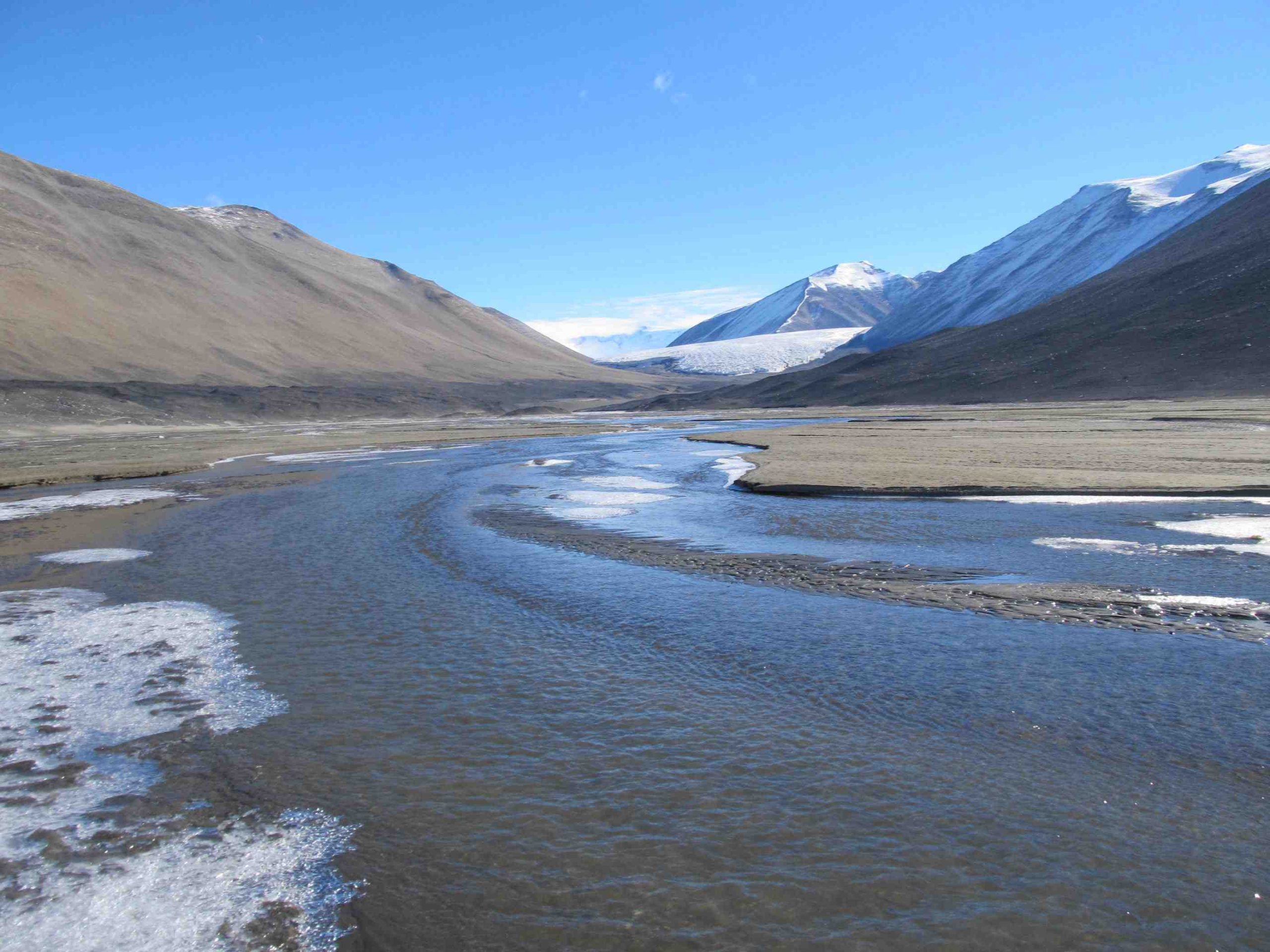
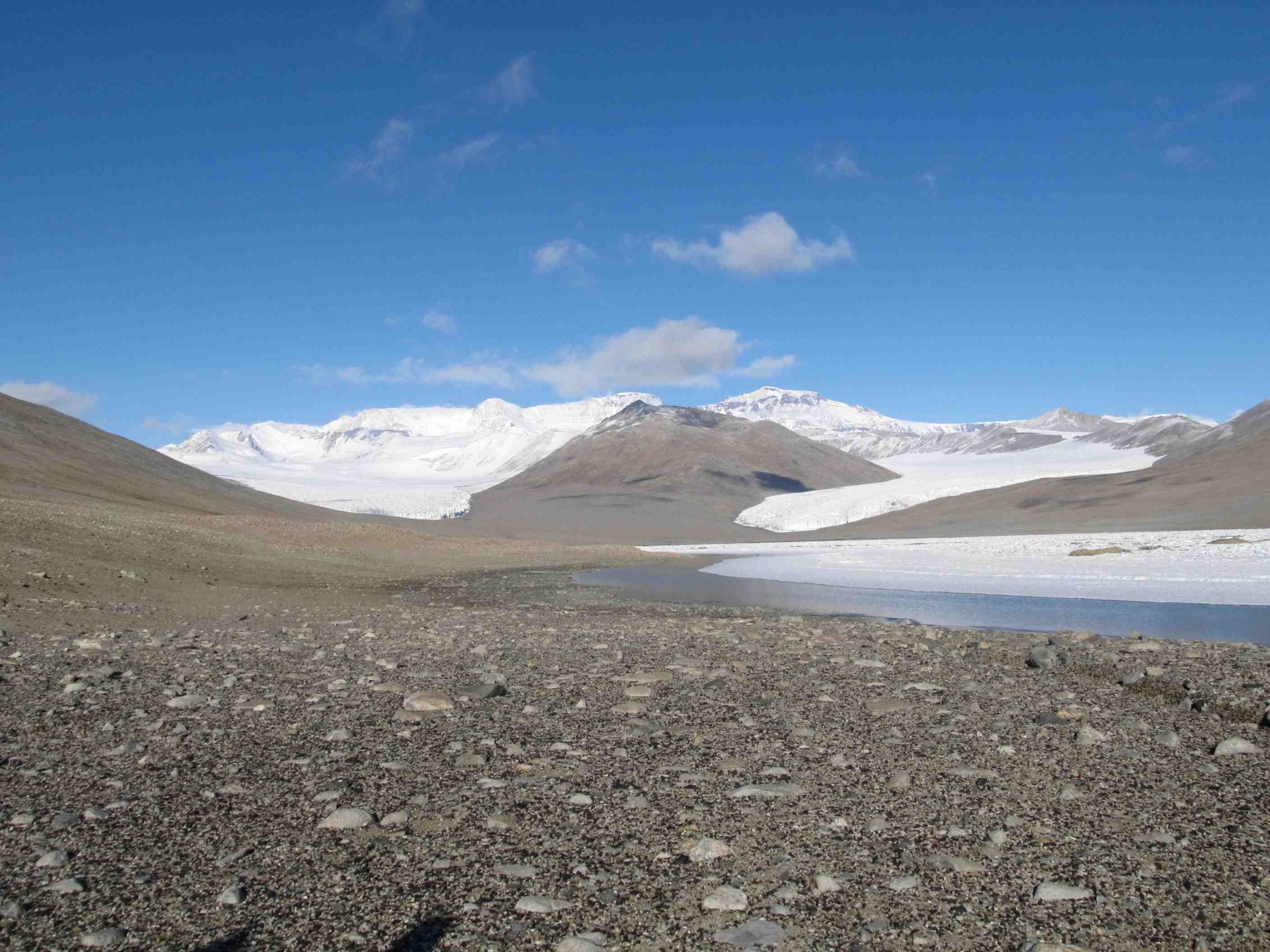
Marshall Valley
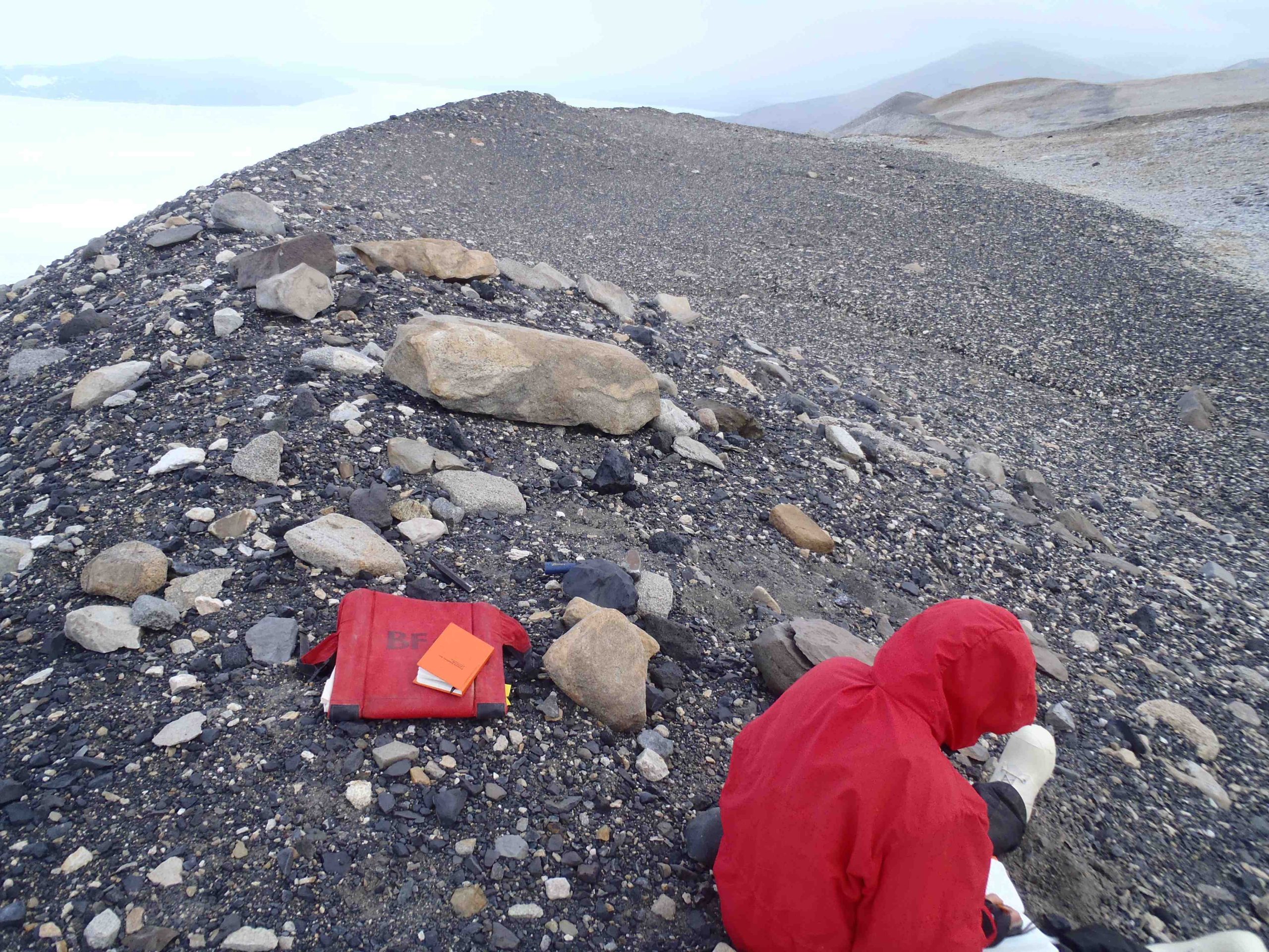
Logging a stratigraphic section in Marshall Valley, Antarctica. Jan. 2011. Photo credit: Stephanie Allard
Sampling a section in Marshall Valley, Antarctica. Jan. 2011. Photo credit: Stephanie Allard.
Looking westward up Marshall Valley. Jan 2011. Photo credit: Stephanie Allard.
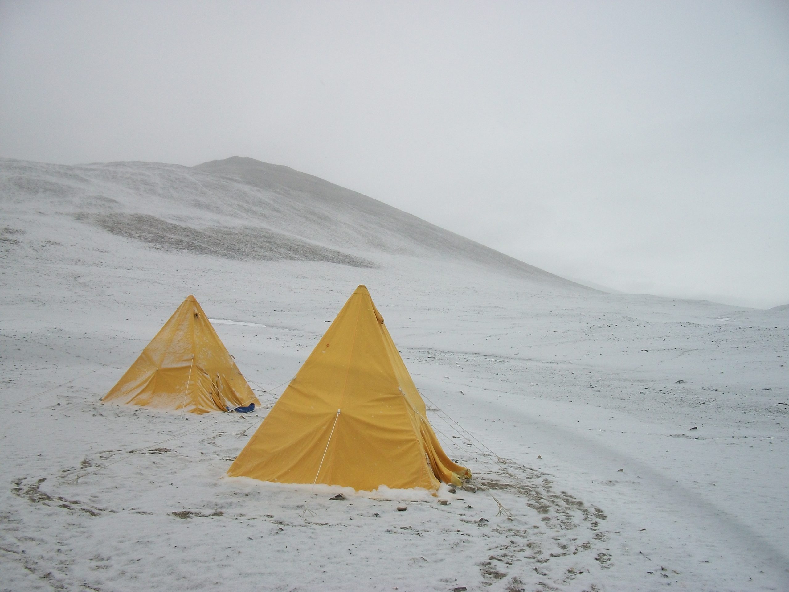
Our field camp on a snowy evening in Marshall Valley, Antarctica. Jan.2011. Photo credit: Stephanie Allard.
A busy day in the field – geologic mapping and algae hunting in Marshall Valley, Royal Society Range, Antarctica. Jan. 2011. Photo credit: Stephanie Allard.
Garwood Valley
Looking west into Garwood Valley, Royal Society Range, Antarctica. Taken during the 2010-2011 season. Photo credit: Calvin Mako.
Miers Valley
Adams Glacier in Miers Valley, Royal Society Range, Antarctica. Photo credit: Calvin Mako.
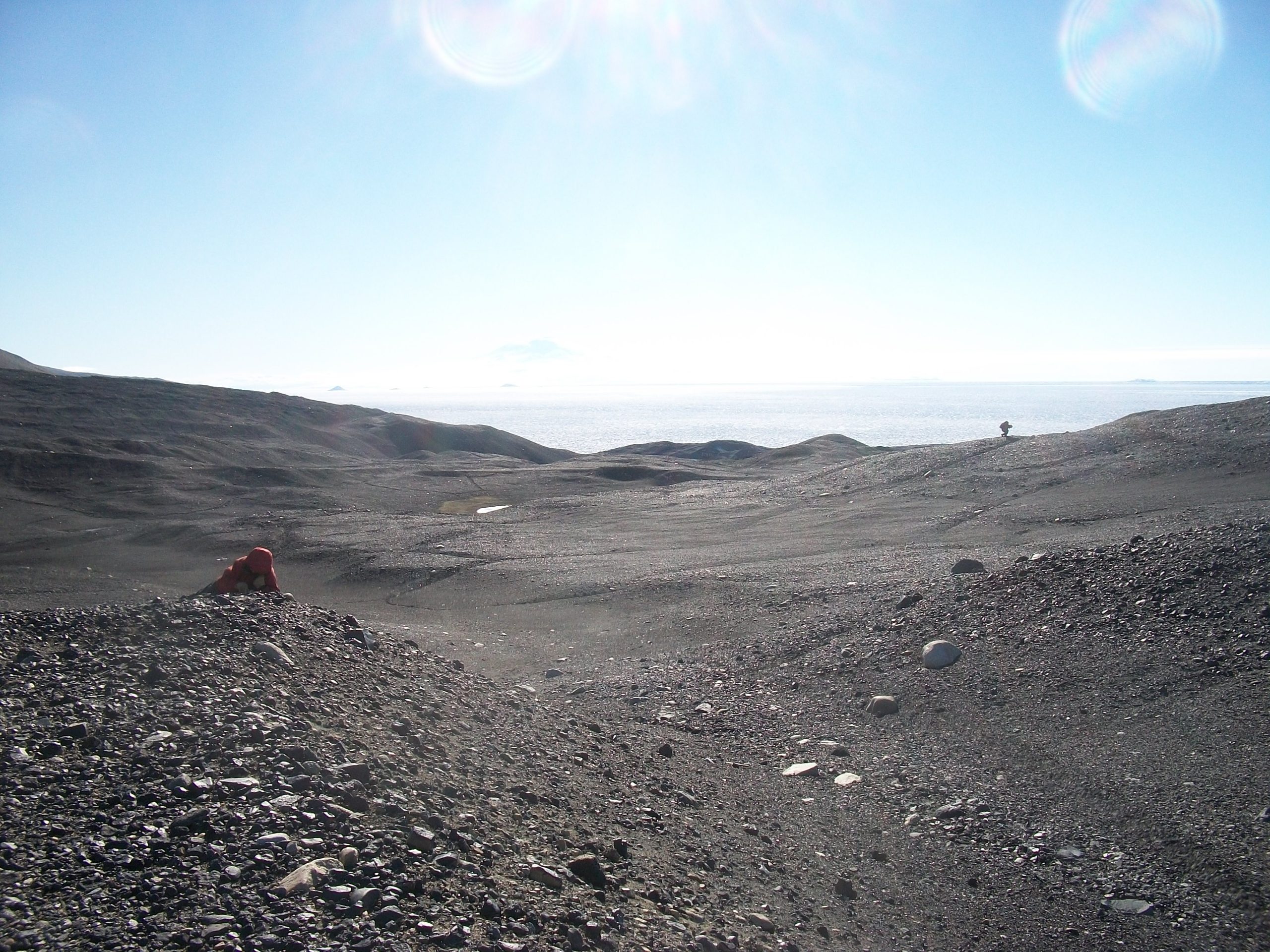
Looking northeast in Miers Valley, Royal Society Range, Antarctica. Taken during the 2010-2011 season. Photo credit: Calvin Mako.
Adams Glacier (left) and miers glacier (right), Miers valley, antarctica. photo credit: calvin mako
calvin mako takes notes near a basalt cobble collected for surface exposure dating. calvin and the cobble are perched on the crest of a moraine ridge deposited by the ross sea ice sheet at the last glacial maximum. the view is to the southwest, with heald island and the koettlitz glacier in the upper left background. photo credit: Toby koffman.
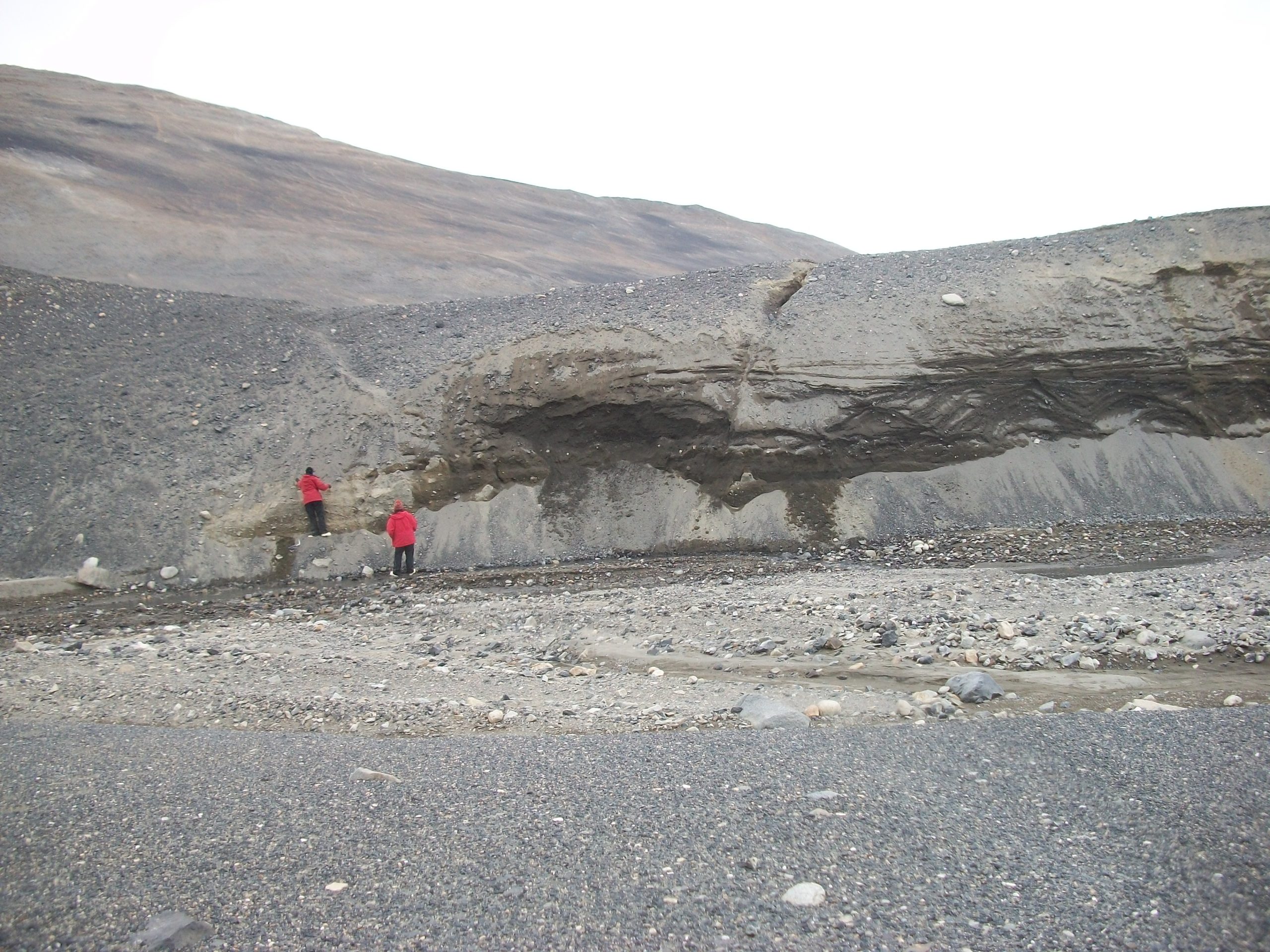
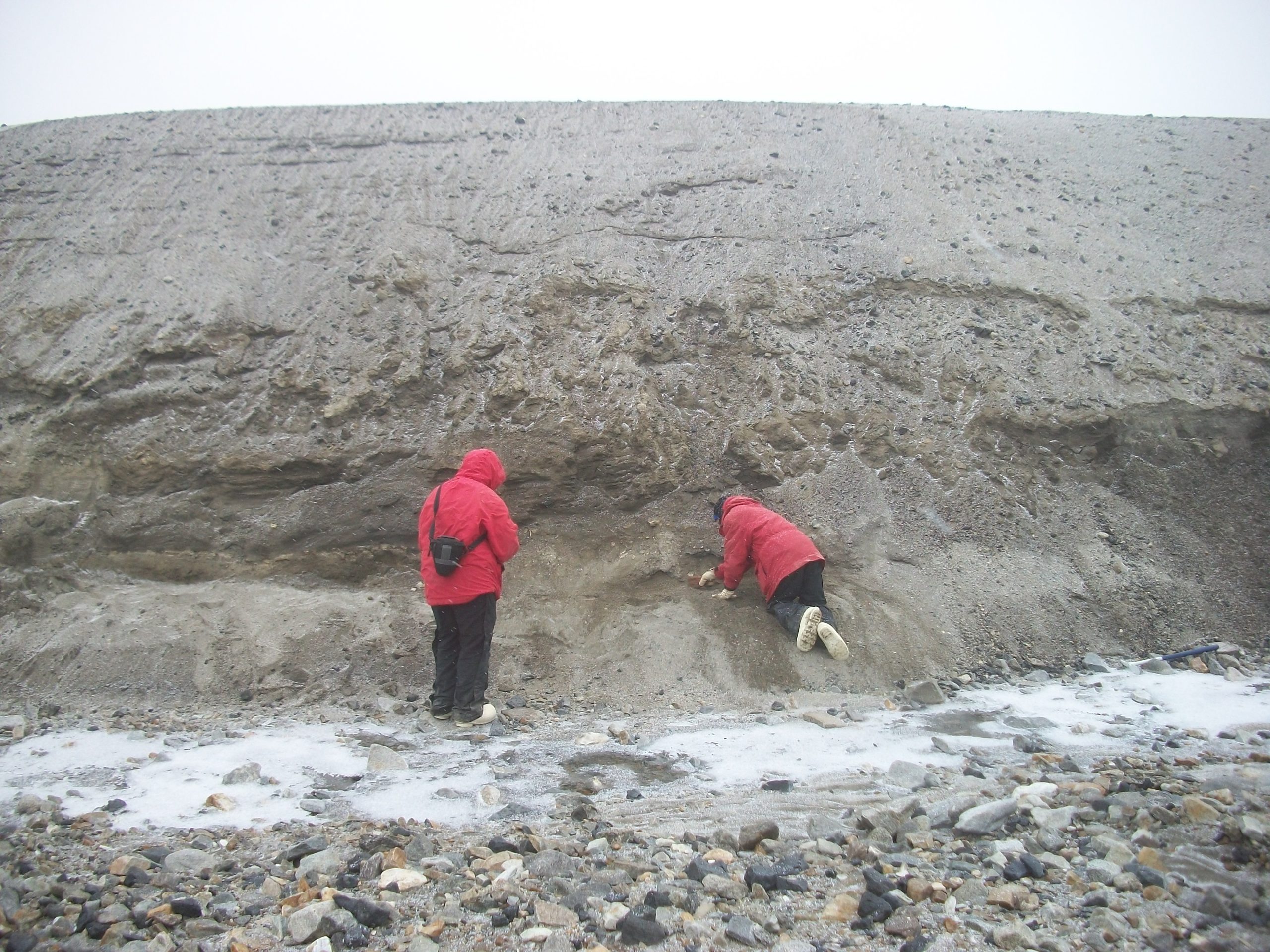
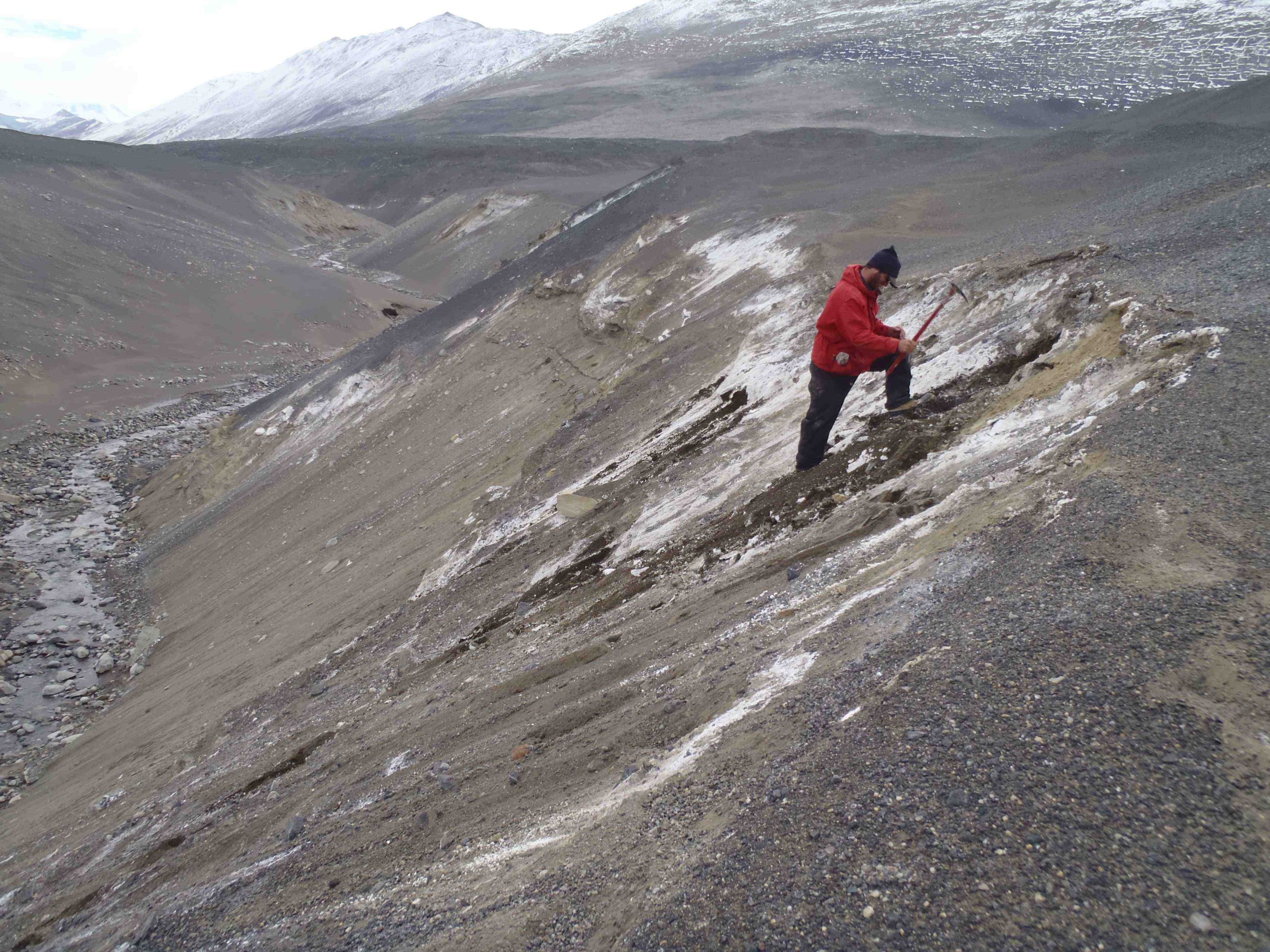
Glenn mckenney cleans a cection near the mouth of miers valley. january 2011; the view is up-valley to the west. the white salt is probably thenardite, a sodium sulfate salt formed by the dehydration of mirabilite. radiocarbon dates from algae and shells collected in this section will indicate times in past when a grounded ice sheet advanced through the ross sea and mcmurdo sound. photo credit: toby koffman
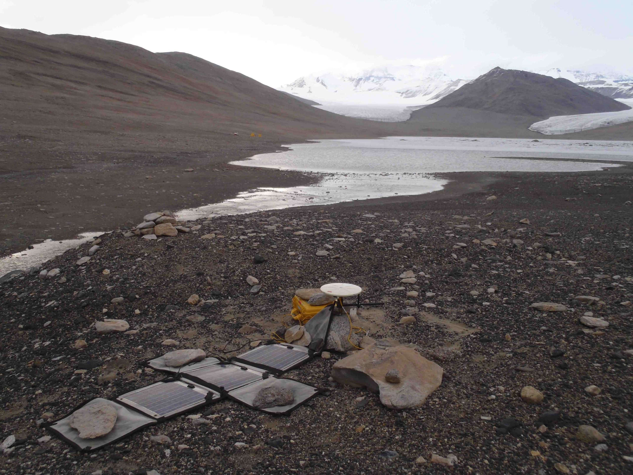
A solar-owered differential gps is set up on a survey benchmark near the east end of Lae miers in january 2011. the i-196 (hall) camp is in the background near the south shore of the lake. adams glacier is on the left at the far end of the lake, and miers glacier is on the right. ross sea ice gounded in the mouth of the valley dammed a much larger lake during glacial times. gps elevations on deposits formed near the shore of this paleo-lake define a minimum thickness for the former ross sea ice sheet. photo credit: toby koffman
mcmurdo station-u.s. base
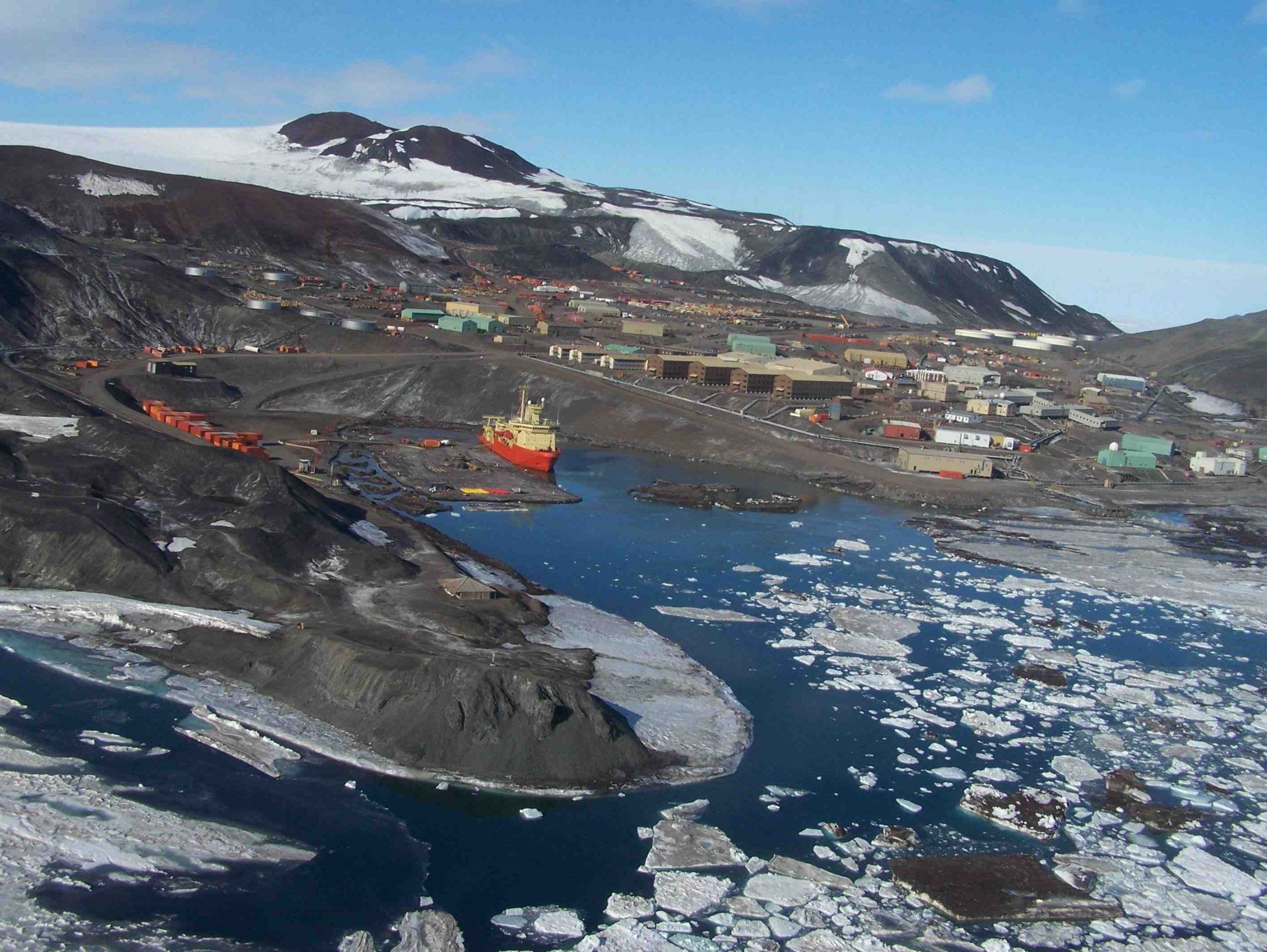
An aerial view of mcmurdo station on ross island, antarctica. photo credit: brenda chase.
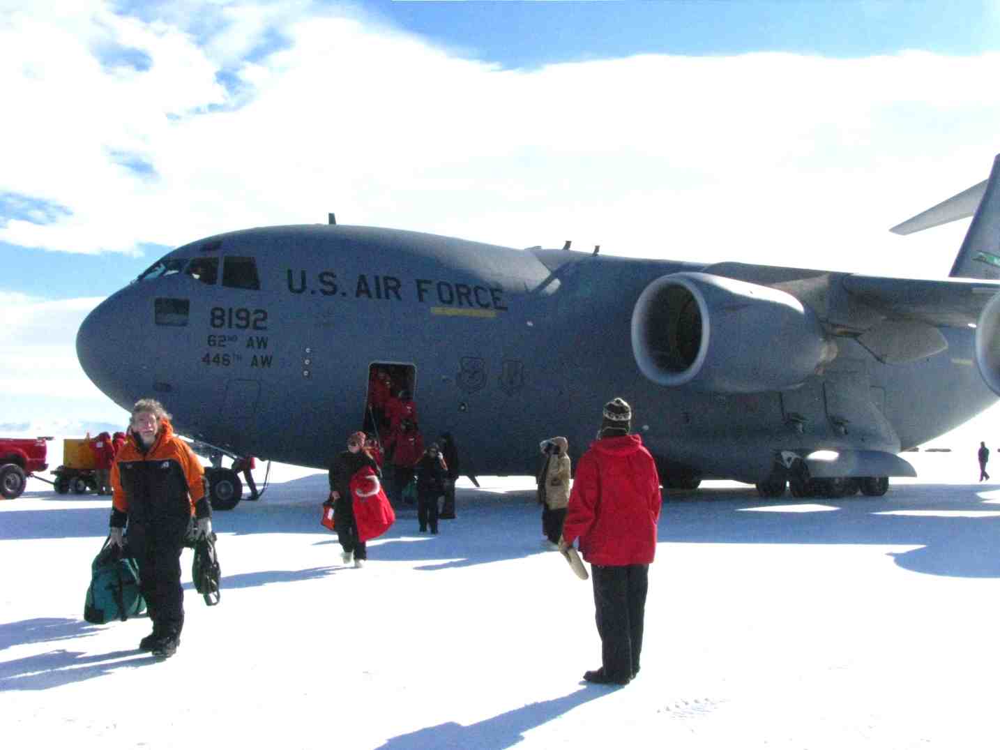
arrival on the ice.
⨉
Facebook
LinkedIn
YouTube
Instagram
Top