UMaine Ph.D. candidate’s new tool helps predict pollution vulnerability in coastal waters statewide
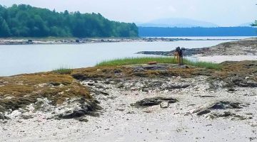
A University of Maine Ph.D. candidate has created a new mapping tool that can help scientists and resource managers better predict how vulnerable different coastal estuary settings in Maine are to pollution. Pollution vulnerability in estuaries and bays can be determined by the source of contamination, how it is transported to coastal waters and how read more UMaine Ph.D. candidate’s new tool helps predict pollution vulnerability in coastal waters statewide