Mapping out a more flood resilient future
University of Maine at Machias researcher finds solutions for community challenges.
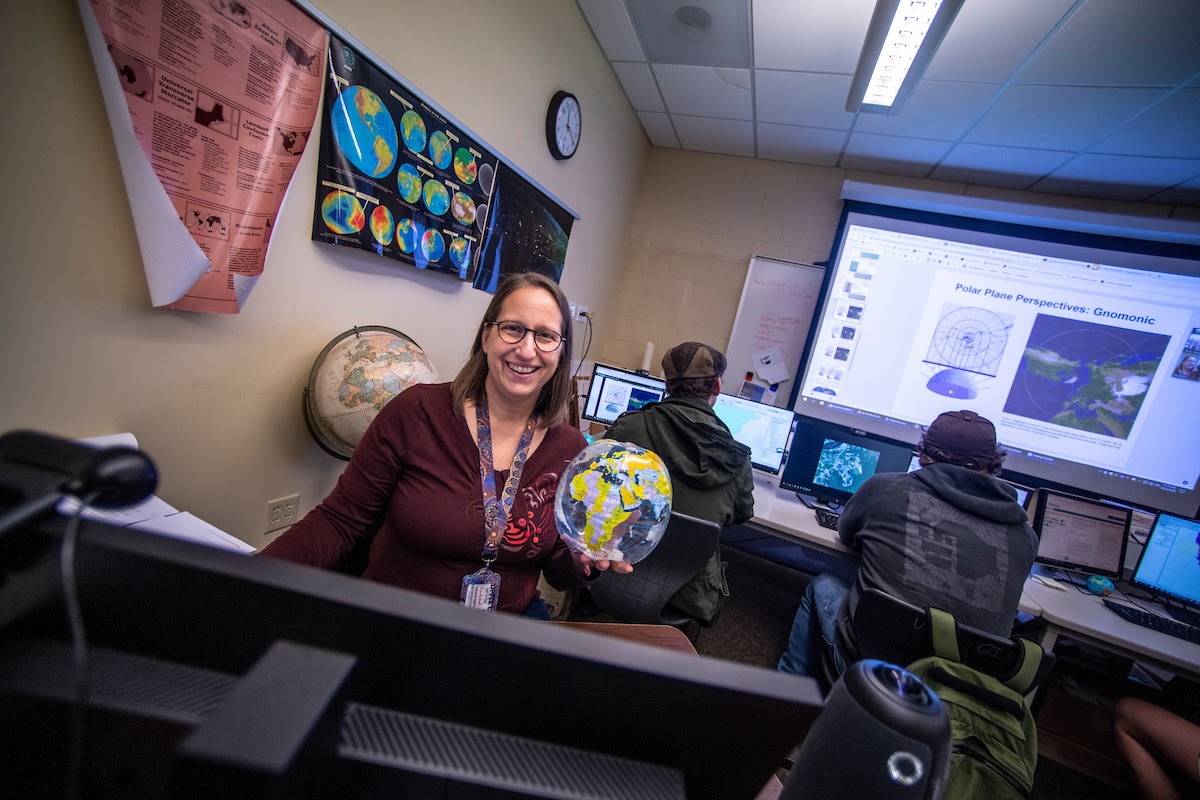
Tora Johnson, associate professor of Geographic Information Systems (GIS) at the University of Maine at Machias, conducts research and teaches in the small town of Machias. She also chairs the Environmental and Biological Sciences Division and directs the GIS Service Center.
A social scientist by training, Johnson is interested in how communities make decisions and manage natural resources. Her research incorporates community engagement, which also is a cornerstone of her students’ classroom experience.
Johnson believes Machias is the perfect location for doing this kind of work. “There are a lot of really difficult decisions to be made about natural resources — a lot of change and challenge in this region,” she says.
And just down the hill from her office, downtown Machias faces several of these challenges. It has experienced no less than three “hundred-year” floods in the last six years.
In 2018, Johnson analyzed the flood resilience of downtown Machias in the study, “How much risk is too much? Geographic and economic analysis to support local decisions about flood resilience in a Downeast Community.”
Johnson created a visualization tool by collaborating with the various stakeholders, including Baker Design Consultants and the Washington County Council of Governments. The tool mapped out the elevation and locations of commercial buildings in downtown Machias given various flooding scenarios. The study also estimated the economic impact to the community within those scenarios, by evaluating the number of people who would be put out of work, as well as the cost and the amount of time it would take for the town to recover from each of those different events.
“We were able to create economic estimates of the impact of single storms,” says Johnson. “Based on each of those scenarios, we are able to use FEMA guidance and U.S. Army Corps of Engineers’ guidance on the potential economic costs.”
This research allowed the town of Machias to apply for a FEMA grant for the engineering and permitting work to build a seawall and pump system to protect the downtown against flooding. Outlining thresholds and the economic impact of various flood levels helped determine the ideal size of the seawall.
Students took an active role in the project, including GIS aide Andrew Howland and graduate student David Cisneros, who completed their work in spring 2019.
Written by Tilan Copson
Contact: research@maine.edu