UMaine researchers receive NSF award to improve sensor data collection, analysis
Two University of Maine researchers have received a $500,000 National Science Foundation award to advance scientists’ ability to analyze massive data samples collected by real-time sensors.
Today, sensors are only capable of taking samples at discrete points in space, such as taking hundreds of individual photographs. Often times, the data has to be physically retrieved on a memory card or SD card from the research site, which can be time-consuming and inconvenient.
The age of sensor data collection is moving toward collecting data in real-time, which can be thought of as a video — a stream of images strung together, continuously updating in the blink of an eye. Real-time sensors can bring in 20,000 new samples every few seconds, dramatically enhancing the scope of data available to scientists.
“You can do your science faster and better without having to worry about the cumbersome technical aspects of collecting and integrating data. The information system can do that part for you,” says Silvia Nittel, professor in the School of Computing and Information Science at UMaine.
The project involves the use of fields — commonly used in mathematics and physics — which is a new abstraction for geographic information systems that can be used to model a broad range of environmental phenomenon, such as air pollution, smog levels, pollen distribution, toxic chemical plumes and humidity.
“The nice thing about a field is that it is a very simple concept, but it can work for anything. You are not restricted to one application,” says Nittel.
The project will integrate fields and data streams mathematically to make mapping between the two easier and more accurate.
A large aspect of the project is dealing with computational challenges related to processing data that is updated every second and transforming the data into fields to be analyzed.
Nittel’s team created software to help a computer keep up with 20,000 new data samples updating every few seconds. The innovative computational framework complements the field data model, allowing researchers to analyze fields with just the click of a button.
“Then you can say, ‘Show me the visual representations.’ And there it is,” says Nittel.
The researchers hope that by extending sensor data streams to fields, scientists can work with high-level abstractions to evaluate extreme weather events, environmental disasters and chemical accidents quickly and accurately.
The applications for the new technology are seemingly limitless.
“That is what we try to do in computer science, we try to come up with something like the Google search engine. Anyone can search for anything, there is one mechanism behind it,” says Nittel.
“It doesn’t matter if you’re looking for sports news, world politics, research or places to go out. It’s just one concept behind it. With the field, it’s very similar.”
The technology could help UMaine scientists in forestry, ecology and marine science make the most of the data collected by limited numbers of large, expensive sensors.
Though mathematically complicated, the new information system will make data analysis and collection much more convenient for the user, says Nittel.
“We think it is very convenient for people that have to deal with data sensor streams to have something like a field to help interpret the data,” she says.
“The concept of fields is also applicable for data that is not real-time, but in this project we specifically address the computational challenges posed through the rapid arrival of data through real-time streams and instant analysis based on fields.”
The UMaine group works in collaboration with researchers at the University of New York at Buffalo, using their data to test the modeling techniques to see if the new system is user-friendly, efficient and accurate.
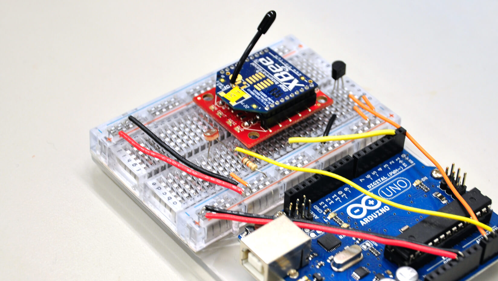
This summer, the researchers tested the system at Cherryfield Farm, where they deployed a soil moisture sensor network around the blueberry barrens to collect readings in real-time to evaluate the efficiency of the farm’s automated irrigation system.
This type of data analysis could be especially useful in areas such as California, where water availability is a growing concern, says Nittel.
The project, titled “III: Small: From Real-Time Sensor Data Streams to Continuous Field Data Models: Formal Foundations and Computational Challenges,” is under the direction of Nittel and Max Egenhofer, professor in the School of Computing and Information Science at UMaine.
For more information, or to view results, visit the project website.
Contact: Amanda Clark, 207.581.3721