UMaine Student Symposium
The mission of the UMaine Student Symposium is to give graduate and undergraduate students from UMaine and UMaine Machias the opportunity to showcase their work, research, and creative activities to the greater community, fostering conversations and collaborations that will benefit the future of Maine and beyond.
UMSS26
New Balance Field House
University of Maine, Orono, Maine
Friday, April 17, 2026
Bronze Sponsors:
UMSS News
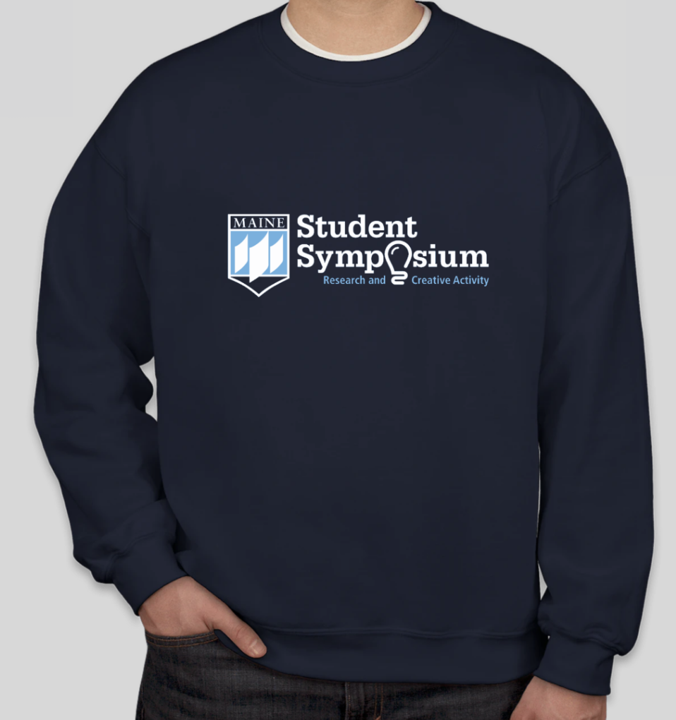
Symposium Sweatshirts

Miss a Symposium?
Check out our galleries featuring images taken during recent symposiums!


