-
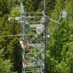
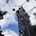
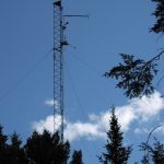
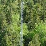
- Main Tower
-
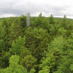
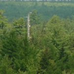
- View of Main Tower through a canopy gap
-
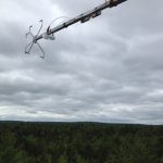
- Main Tower from the air
-
- Main Tower
-
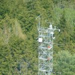
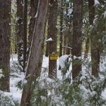
- Main Tower in winter
-
- Holly on top of the Main Tower
-
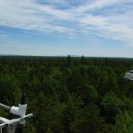
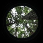
- View of the Howland forest canopy from the top of the Main Tower
-
- Cloudy skies over the tower wind guage
-
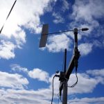
- Sonic anemometer
-
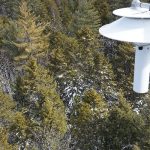
- Webcam on Main Tower
-
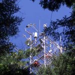
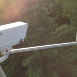
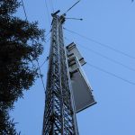
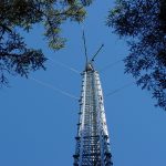
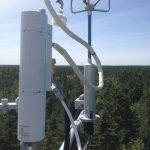
- Instrumentation on the tower
-
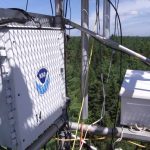
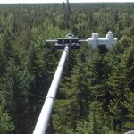
- Instrumentation secured to the Main Tower for data collection
-
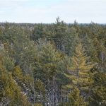
- Howland Forest canopy
-
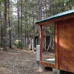
- Instrument buildings at the Main Tower site (tower behind)
-
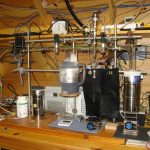
- Picarro analyzers in the Main instrument building
-
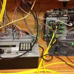
- Data loggers at Main tower building
-
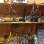
- Instruments in Main tower building
-
- East Tower from the path
-
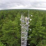
- East Tower
-
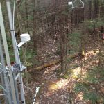
- Sonic, intake, Tair, net rad on the East Tower
-
- West Tower from helicopter
-
- West Tower
-
- West Tower
-
- Solar radiation instruments on the West Tower
-
- Sonic and irga on top of West Tower
-
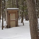
- “Swamp shack” by the West Tower
-
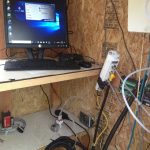
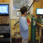
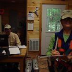
- Instruments and computer in shed at West Tower
-
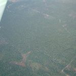
- View of Howland from the skies
-

- Helicopter taking off
-
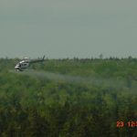
- Helicopter nitrogen application
-
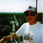
- John atop the Main Tower
-

- Dave coring a tree
-
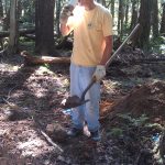
- Dave helps dig a soil pit
-
- Holly in the swamp
-
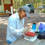
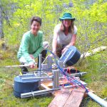
- Julie performs nutrient analysis
-
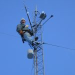
- Bob safely climbing a tower
-
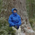
- Holly sitting at the base of a large white pine
-
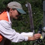
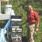
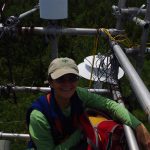
- Holly adjusting instrumentation
-
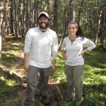
- Debjani and Lio
-
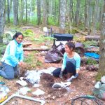
- Holly and Kathleen by soil respiration autochamber
-
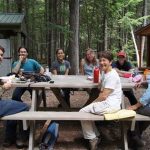
- Researchers enjoy lunch in the forest
-
- Aaron and Olivia take a break from vegetation mapping
-
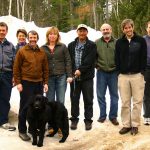
- Howland Cooperators Meeting 2008
-

- Howland Retreat 2016
-
- John and Holly at Howland
-
- Holly at the top of main tower
-
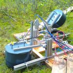
- Carbon trapping
-
- Soil respiration autochambers
-
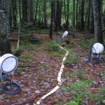
- Soil respiration autochambers at the Main Tower site
-
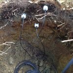
- Soil moisture sensors
-
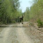
- Young moose on Seed Orchard Rd
-
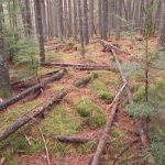
- Hollow down woody debris
-
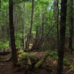
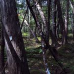
- Forest at Howland
-
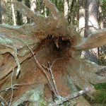
- Recent contributions of deadwood to the soil carbon pool
-
- NASA plot established in 1989
-
- Winter day at Howland
-
- Canopy cover in the NASA plot (fisheye photo)
-
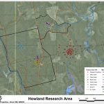
- Map of Howland tower sites
-
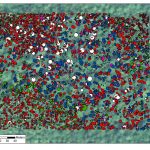
- Stem map of the NASA plot. Each circle represents one tree, each color a species