Barracuda Co-PI Profile: Matthew Dube
By Stefania Irene Marthakis
Matthew Dube, Assistant Professor in Computer Information Systems and Data Science at the University of Maine at Augusta (UMA). Dube completed his undergraduate degree in Mathematics and Statistics as well as both his advanced degrees in Spatial Information Science and Engineering at the University of Maine. Hired straight out of graduate school, Dube has worked with students through the University of Maine’s Upward Bound Program (UB) for 11 years. As Co-PI of the NSF-funded Barracuda project, Dube—in partnership with UB—focuses on developing an interdisciplinary data science curriculum for everyone.
Teaching anything with data in its title (e.g., data visualization, data mining, data science), programming, and software engineering, Dube started the University of Maine System’s only data science major for undergraduates and also teaches graduate classes in the University of Maine’s Data Science and Engineering program.
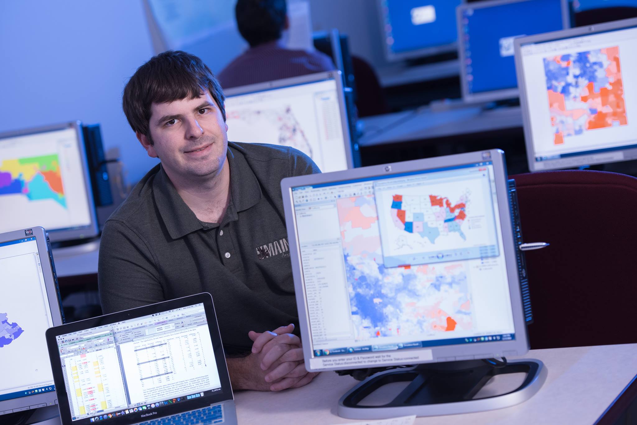
With a background in geographic information system (GIS) science, Dube’s favorite course to teach is geography. He’s been heard to remark, “Maps are my jam.” Through trying to figure out where and how things occur, Dube bears witness to how the language of maps transforms how students see the world.
“Geography isn’t just maps, geography is about what went into how those maps got there (a social process), and what’s actually there physically or socially,” Dube said.
Through Barracuda—which focuses on the species adaptation process—Dube uses informatics (the science of processing data for storage and retrieval) to look at where species are moving due to climate change, how different raster regions (matrices of cells, each containing real-world phenomena) align, and the logic of spatio-temporal queries (requests for information from a database that contains both space and time relevant data).
With a background in spatio-temporal reasoning and an interest in accessible query engines, Dube tries to bring out the human side, making sure queries of a system reflect both language and cognition.
“I make maps talk,” Dube stated. “If you can look at a map and find how things are topologically related or how things are directionally related—using prepositions to let the computer know what to do with the data requested—this aligns more with how humans think about the ‘where’ of things.”
With plenty of tools like structured query language (SQL) and GIS methods that show how two objects are related as well as temporal information systems that show the ‘before’ and ‘during’, Dube aims to create an information system that merges spatial and temporal queries that will start to say that these species or environmental measures follow this trajectory through that relational space.
Dube explained, “A fox habitat might move, but then you have this bird habitat that’s also moving concurrently. Right now, the bird and the fox might be separated in their habitats, but suddenly they enter into an intersecting relationship that leads to potential predator/prey dynamics.”
The foundation for spatio-temporal logic is built not only on static relationships, but also on how relationships change. “Understanding [relational] change is important in queries that have to do with climate change. Thinking about how a suitable environment for a species shifts, you must understand how that shifts relative to other things, even if we have not seen them interact before,” Dube stated.
As part of Barracuda—and Dube’s overarching goal to solve data issues that exist in the general population, which are fundamental to how people live, and ultimately creating a more data literate society—Dube asks this critical question: “What is the root math of human cognition relative to tasks that are essential to maps and time?”