Marine/Coastal Geology and Sedimentary Processes
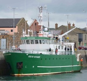
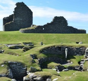
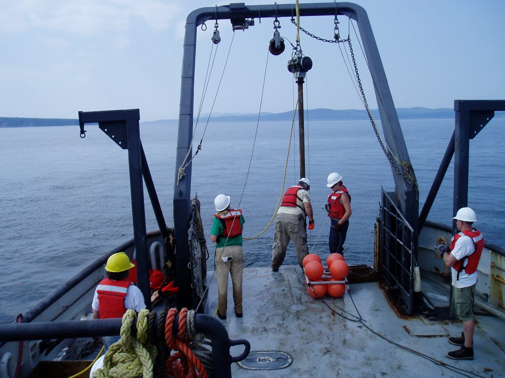 The response of shorelines and their inhabitants to rising sea level and associated coastal processes has been a major research focus of near shore Marine Geology for many years. With the recent explosion of human populations in coastal areas, such as barrier islands, deltas and landslide-prone bluffs, there is a growing need to develop quantitative measurements and models to understand how coastal environments have changed, are changing and will likely change as the level of the sea rises and storms frequently alter the shore. Sea-level change is driven by both glacial expansion and contraction, as well as by land level changes associated with loading/unloading of ice on the land; processes that link marine geology to climate change and geodynamics. As the shoreline rises and falls, processes dominated by waves, wind and tides have swept over what is now the seafloor, as well as terrestrial regions and lakes. We have pioneered the development of indices to record sea-level change over the past 20,000 years from locations above and below the present shoreline. We have studied the record of past sea-level changes by mapping the seafloor and lake bottoms. We interact with State agencies, such as Maine Geological Survey and Department of Marine Resources and federal agencies, including the U.S. Geological Survey and National Park Service. We have used our expertise to influence state and national policies on mitigation and prevention of coastal hazards and sound shoreline construction planning. Please check out some of our projects and trips below.