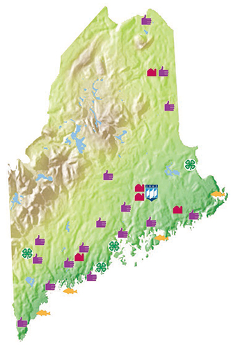
Map Showing Extension’s Locations in Maine
Download it from here!
 To download, right-click on any of the links below and choose “Save Target As” (or “Save Image As” or “Save Link As” depending on your computer and browser). Save the file to a folder on your hard drive where you will be able to easily find it again. Download times will vary depending on the speed of your connection.
- Low res map for PowerPoint presentations (JPG, 143K; 72 DPI)
- Low res map for web and e-mail publications, shown at right (JPG, 87K; 72 DPI)
- High res map for printed materials (JPG, 2.5M; 300 DPI): contact Extension Communications & Marketing Team at extension.communications@maine.edu and we will send you a copy.
If none of the versions above is suitable for your project, please contact us and we’ll send you one that is.
To view UMaine Extension’s locations online, visit our Locations Map.